[Text on the West Side]:
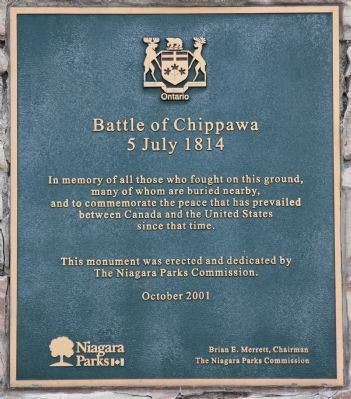
Battle of Chippawa
5 July 1814
In memory of all those who fought on this ground, many of whom are buried nearby,
and to commemorate the peace that has prevailed between Canada and the . . . — — Map (db m49393) HM
On these fields and the surrounding woods 4,000 American, British, Canadian and Native forces fought the first major battle of the Niagara campaign of 1814. When the last shots died away on Samuel Street's farm, more than 800 lay dead and wounded. . . . — — Map (db m49398) HM
At dawn 5 July 1814, parties of Canadian-Militia and British allied Native Warriors scouted the American camp. They began sniping from the bushes on the north side of Street's Creek and this continued throughout the morning. Around noon, General . . . — — Map (db m49399) HM
Major General Phineas Riall, the British commander, had repaired the bridge over the Chippawa and ordered his own Regular light infantry, the local Canadians of the 2nd Lincoln Militia and a force of Native Warriors, to clear out the now scattered . . . — — Map (db m49400) HM
British General Riall was convinced that the greater part of Brown's army was still surrounding Fort Erie. He did not know the Fort had surrendered and he was facing the entire U.S. division. Still, the number of men deployed on both sides was . . . — — Map (db m49402) HM
As the battle raged, more American artillery deployed to the middle of the plain between the 11th U.S. and the lone 25th U.S. company, less than 100 meters (109 yards) from the British line. General Brown then led Ripley's brigade across Street's . . . — — Map (db m49403) HM
The Aftermath. In the days following the battle, General Brown's victorious troops advanced another 25 kilometers (18 miles) north to Fort George before retiring back to Niagara Falls when more British troops arrived in the area. They met the . . . — — Map (db m49404) HM
A frame church was built here following the arrival in 1820 of an Anglican missionary, the Reverend William Leeming. It was burned on the night of September 12-13, 1839, by supporters of William Lyon Mackenzie who crossed the Niagara River from New . . . — — Map (db m78869) HM
The fortifications which stood on this site were built in 1791 to protect the southern terminus of the Niagara portage road, and serve as a forwarding depot for government supplies. Known also as Fort Welland, the main structure consisted of a log . . . — — Map (db m49164) HM
The British used Navy Island from 1761 to 1764 as a shipyard in which to build the first British decked vessels to sail the upper lakes. These were essential in maintaining the supply lines westward during Pontiac's uprising, 1763-4. Thereafter the . . . — — Map (db m49052) HM
Niagara's beauty has been an inspiration for today's environmental movement. Early conservationists such as George Catlin and Frederick Olmstead, who invented the concept of national parks, came to view its wonders. Nurtured by such visions and . . . — — Map (db m64652) HM
At daybreak on July 5, 1813, a British and Canadian force, consisting of some 35 militia and a small detachment of the 49th Regiment, embarked in this vicinity to attack Fort Schlosser. This American depot (now within Niagara Falls, New York) was . . . — — Map (db m49163) HM
Here, on 5 July 1814, an American army under Major-General Jacob Brown launched the last major invasion of Canada during the War of 1812. The Americans defeated a British and Canadian force commanded by Major-General Phineas Riall consisting of . . . — — Map (db m49050) HM
On this site was fought
The Battle of Chippawa
July 5, 1814.
Preservation of the Battleground
was made possible by
The Niagara Parks Commission
with the cooperation of
Frank and Mildred Branscombe,
River Realty . . . — — Map (db m49460) HM
On the night of December 29-30, 1837, some 60 volunteers acting on the orders of Col. Allen Napier MacNab, and commanded by Capt. Andrew Drew, R.N., set out from Chippawa in small boats to capture the American steamer "Caroline". That vessel, which . . . — — Map (db m64651) HM
In 1792-94 a village grew up near Fort Chippawa on Chippawa Creek at the end of the new portage road from Queenston. In 1793 the creek was renamed the Welland River, but the village, where a post-office was opened before 1801, remained "Chippawa". . . . — — Map (db m54124) HM