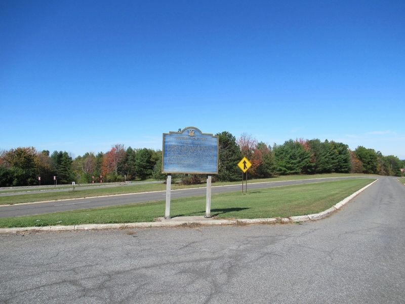
On Taconic State Parkway 0.5 miles north of New York State Route 217, on the right when traveling north.
Columbia County
Historic New York
Columbia County, which extends from the Hudson River to the New England border. was formed in the late 18th century from parts of two 17th century land patents. Early settlers came from Holland, followed by . . . — — Map (db m237040) HM
On Valley Pike (U.S. 11), on the right when traveling south.
Dedicated on 15 October 1907, this monument is adjacent to the original Valley Pike right of way. It marks the eastern limit of the XIX U.S. Corps positions occupied on 19 October 1864 and is at the approximate point where U.S. Generals Horatio G. . . . — — Map (db m3397) HM
On Albany Hudson Electric Trail north of Main Street, on the left when traveling north.
The history and landscape of the village of Valatie, Dutch for "little falls," were shaped by the waters of Kinderhook Creek and the Valatie Kill, which provided power for textile mills for over a century.
The Textile Industry
Before . . . — — Map (db m229413) HM
Near New York State Route 9H north of Fischer Road, on the left when traveling north.
From the late 1700s through the mid 1900s, the one-room schoolhouse defined rural education in America. As late as 1913, half of America's schoolchildren attended one-room schools. The Ichabod Crane Schoolhouse served children of the town of . . . — — Map (db m244239) HM
Near New York State Route 9H 0.2 miles north of Fischer Roaf, on the right when traveling south.
You are standing on ancestral lands of the Muh-He-Con-Neok, "the people of the waters that are never still." Called Mohicans by the English, these Algonquin-speaking peoples are now officially known as the Stockbridge-Munsee Community. By the . . . — — Map (db m244718) HM
Near New York State Route 9H 0.2 miles north of Fischer Road, on the right when traveling south.
Enslavement in the New Netherland (New York) was an active slave society from the time the Dutch West Indies Company imported the first slaves in 1626. At that time, the Dutch controlled a sizable portion of the Trans-Atlantic Slave Trade, which . . . — — Map (db m243967) HM
On Empire State Trail at Albany Avenue, on the left when traveling south on Empire State Trail.
Welcome to Kinderhook, a Hudson River Valley village rich in history. The name
"Kinderhook," which appeared on area maps as early as 1614, means "children's
corner" in Dutch. This area was settled in the 1660s by Dutch colonists who
purchased . . . — — Map (db m259043) HM
On Cobbham Road (State Road 150) near Happy Valley Lane, on the left when traveling east.
"Happy Valley", homesite and burial place of Basil Neal, Revolutionary soldier, lies one-half mile off this highway in the direction the arrow points.
Basil Neal or O'Neal, was born in Maryland in 1758. When he was 17 years old his family . . . — — Map (db m27058) HM
On Main Street (State Highway 10) 0.1 miles east of Falls Mills Road, on the right when traveling east.
The anti-rent agitations of the 1830's and 1840's originated in the landowning system of colonial New York. Grants of extensive estates in the 17th and 18th centuries gave to the Van Rensselaers, Livingstons and other owners considerable power over . . . — — Map (db m136218) HM
On Riverside Drive at W 112th Street, on the left when traveling north on Riverside Drive.
William Ordway Partridge (1861-1930) sculpted this bronze, larger-than-life figure of attorney and public servant Samuel Jones Tilden (1814-1886). It was dedicated October 5, 1926. Tilden was born on February 9, 1814 in New Lebanon, . . . — — Map (db m53970) HM
On North Main Street (State Highway 22) 0.1 miles north of Chestnut Street (County Highway P), on the right when traveling north.
Historic Pardeeville
In 1848, New York native and Milwaukee merchant, John S. Pardee hired agents to oversee his Fox River land holdings and to establish business operations from this location. Yates Ashley, the most notable of Pardee's . . . — — Map (db m215748) HM
On New York State Route 22, on the right when traveling south.
Thé Mohican Blessing Fountain was erected by the New Lebanon Garden Club
in 1941 to give thanks to the Mohican Indians for their gift of the healing waters
of the thermal mineral springs to all people forever. The Mohicans were the
original . . . — — Map (db m135096) HM
Near New York State Route 9H 0.2 miles north of Fischer Road, on the right when traveling south.
The Dutch came to the New World in the early 1600s in search of riches, and quickly saw the vast potential of the fur and timber trades. Only after the need arose for a steady food supply did they realize the agricultural
possibilities of the . . . — — Map (db m244480) HM
On Old Post Road, on the right when traveling south.
You are standing along one of the few remaining unpaved stretches of the Old Post Road. In 1839 when Martin Van Buren bought this property, the Old Post Road was the main route on the east side of the Hudson River between Manhattan and Albany, the . . . — — Map (db m37746) HM
On New Street (County Route 25A) at Woods Lane, on the right when traveling north on New Street.
Why is It Called the Albany-Hudson Electric Trail?
The "AHET" name honors the trail's history as well as its present day use. The 36-mile rail-trail follows the route of an electric trolley that operated from 1899 to 1929 running from . . . — — Map (db m242409) HM
On Empire State Trail at Route 9H, on the right when traveling north on Empire State Trail.
Why is It Called the Albany-Hudson Electric Trail?
The "AHET" name honors the trail's history as well as its present-day use. The 36-mile rail-trail follows the route of an electric trolley that operated from 1899 to 1929, running from . . . — — Map (db m230786) HM
Near New York State Route 9H 0.2 miles north of Fischer Road, on the right when traveling south.
Called "the first American man of letters," Washington Irving (1783-1859) found fame and success as a writer of short fiction in the early years of the republic. Mixing fact, legend and folklore, his whimsical tales captured the cultural character . . . — — Map (db m244713) HM
On New Street at Woods Lane, on the left when traveling east on New Street.
The history and landscape of the Stuyvesant Falls hamlet were shaped by the waters of Kinderhook Creek, which provided power for textile mills and the Albany-Hudson electric trolley line.
Textile Mills
Kinderhook Creek drops . . . — — Map (db m242402) HM
On Schodack-Nassau Road (County Route 7) north of Old Forge Road, on the right when traveling south.
Why is It Called the
Albany-Hudson Electric Trail?
The "AHET" name honors the trail's history as well as its present-day use. The 36-mile rail-trail follows the route of an electric trolley that operated from 1899 to 1929.
running from . . . — — Map (db m230279) HM
On Albany-Hudson Electric Trail south of Main Street (County Route 28), on the right when traveling south.
Why is It Called the
Albany-Hudson
Electric Trail?
The "AHET" name honors the trail's history as well as its
present-day use. The 36-mile rail-trail follows the route
of an electric trolley that operated from 1899 to 1929,
running from . . . — — Map (db m229754) HM
On East Grove Street west of South Evans Street, on the right when traveling west.
510 E. Grove St.
Ruben & Laura
Benjamin House
Built by John Routt in 1853
Italianate Architectural Style
Ruben Benjamin was examined by Abraham Lincoln
to qualify for a license to practice law.
John Routt was elected governor . . . — — Map (db m183772) HM