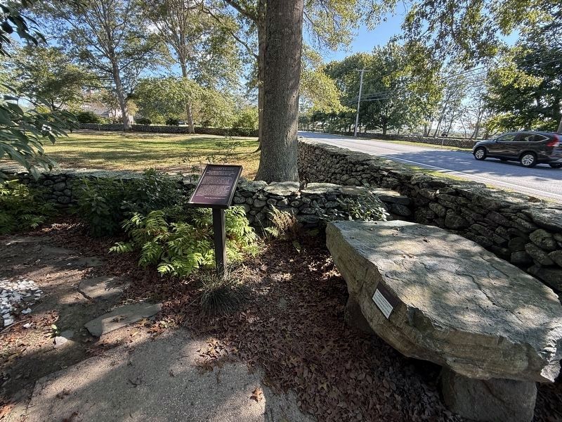
Near West Main Road (Rhode Island Route 77), on the right when traveling north.
This sculpture shows the present-day Sakonnet shoreline and an approximation of the shoreline 13,000 years ago.
Archaeological evidence and Wampanoag tradition tell us that people have lived at Sakonnet continuously since the end of the . . . — — Map (db m307031) HM
Near West Main Road (Rhode Island Route 77), on the right when traveling north.
To your left is an ancient road that follows a ridge left by a retreating glacier about 13,000 years ago.Together with local waterways, this road connected the Sakonnets to 68 other Wampanoag villages to the north and east, and to other Native . . . — — Map (db m307032) HM
Near West Main Road (Rhode Island Route 77) south of Fairfields Drive, on the right when traveling north.
Attuck (deer) is sculpted entirely from native timber and driftwood collected in Rhode Island over the course of eight months. His frame is built from a fallen cedar, a sacred material in tribal communities. The enduring strength of . . . — — Map (db m312220) HM
Near West Main Road (Rhode Island Route 77) south of Fairfields Drive, on the right when traveling north.
Buying & Selling Acoaxet
After the war many Native people owned
land in Acoaxet with English-style deeds.
Mamanuah preserved his homelands by remaining
loyal to the English during King Philip's War and by selling
Awashonks' land instead . . . — — Map (db m307138) HM WM
Near West Main Road (Rhode Island Route 77) just south of Fairfields Drive, on the left when traveling south.
Distrust for the Newcomers
The Sakonnets and the English were not friends.
As many as 3,000 Sakonnets lived here in the 1600s.
They saw European ships sail by beginning in the 1500s.
European newcomers brought diseases but the
Sakonnets were . . . — — Map (db m307016) HM WM
Fal Solomon:
Indentured Here
Fal Solomon was a Sakonnet girl
ordered into indenture here
at the Wilbor House.
In 1757 an epidemic swept through Sakonnet. Fal
Solomon became ill, and her parents likely died. Dr.
William Wilbor brought . . . — — Map (db m307045) HM
Near West Main Road (Rhode Island Route 77) just south of Fairfields Drive, on the left when traveling south.
Honoring Awashonks
The land you are standing on was once
reserved for Awashonks and her people.
Awashonks is the best known Sakonnet sachem. She
led her people during the 1660s and 70s. This was a
chaotic time when the English used trickery, . . . — — Map (db m306910) HM WM
Near West Main Road (Rhode Island Route 77) south of Fairfields Drive, on the right when traveling north.
Mishoon
Dugout canoes provided Wampanoag people with transportation throughout the Northeast.
Mishoon is the traditional term for dugout canoe in my Wampanoag language. The dugout canoe practice and tradition that existed here for thousands of . . . — — Map (db m307132) HM
Near West Main Road (Rhode Island Route 77) south of Fairfields Drive, on the right when traveling north.
The Wampanoag people have a spiritual connection to plants that goes back to our creation. It is a relationship. When we are interacting with these plants, it is the way we would interact with any of our family members. We visit. We have ceremony . . . — — Map (db m312221) HM
Near West Main Road (Rhode Island Route 77) south of Fairfields Drive, on the right when traveling north.
An Apology and a Promise
The Little Compton Historical Society recognizes the harm done to the Wampanoag people by Little Compton's European settlers. We apologize for our part in that harm, and we are working to repair some of the damage . . . — — Map (db m312222) HM
Near West Main Road (Rhode Island Route 77) south of Fairfields Drive, on the right when traveling north.
Squant features prominently in our stories. She is a great being that oversees the health of the plants. especially berries. Squant was said to be married to Moshop the great giant who dragged his toe, causing the water to wash in and separate . . . — — Map (db m307124) HM
Near West Main Road (Rhode Island Route 77) just south of Fairfields Drive, on the left when traveling south.
The Sakonnets did not fence their fields. English settlers did. Many of the stone walls you see today mark original English property lines. As early as 1661 Awashonks repaid debts to an English settler in Tiverton with stone walls built by her . . . — — Map (db m306949) HM
Near West Main Road (Rhode Island Route 77), on the right when traveling north.
A weeku (weety8) is a Wampanoag house. The Sakonnets, and other Wampanoag communities in Massachusetts and eastern Rhode Island, would live in different types of houses depending on what time of year it was. During the spring and summer, . . . — — Map (db m307133) HM
Near West Main Road (Rhode Island Route 77) south of Fairfields Drive, on the right when traveling north.
The Sakonnet Diaspora
The descendants of the Sakonnets are a diaspora.
The Sakonnets began leaving their homelands in the Late 1600s, driven away by war, European diseases English encroachment, and fear. English neighbors burned a Native . . . — — Map (db m307144) HM
Near West Main Road (Route 77) just south of Fairfields Drive, on the left when traveling south.
Three Sisters: A Symbiotic Garden
Living things grow best in relationship with others.
Oral history is imperative in preserving the culture of
Indigenous communities. For thousands of years, our
stories have encapsulated the experiences of . . . — — Map (db m306944) HM
Near West Main Road (Rhode Island Route 77) south of Fairfields Drive, on the right when traveling north.
This description arises from the antiquity of turtles and by picturing the rough shape of the continent. The northern United States and Canada are its head and front limbs; Florida and California are its back legs; and Mexico is the tail. Like . . . — — Map (db m312218) HM
Near West Main Road (Rhode Island Route 77) just south of Fairfields Drive, on the left when traveling south.
Welcome to Sakonnet
Sakonnet is the traditional homeland
of the Sakonnet Wampanoag people.
People have lived at Sakonnet for over 13,000 years.
This exhibit shares their story from the end of the
last ice age to the present day. . . . — — Map (db m306958) HM
On West Main Road (Rhode Island Route 77) just south of Fairfields Drive, on the left when traveling south.
Wilbor House
Built circa 1690 by Samuel & Mary Wilbor
Home of eight generations
East end, 17th century, West end, 18th century
Additions, 19th & 20th century — — Map (db m306880) HM