By Michael C. Wilcox, May 28, 2017
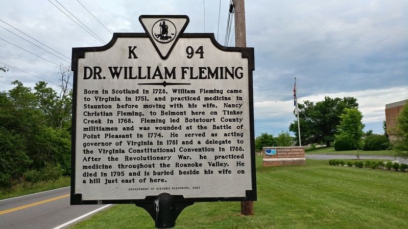
Dr. William Fleming Marker
RANKED BY RELEVANCE
| On Hollins Road Northeast north of Old Mountain Road NE, on the right when traveling south. |
| On Avenue of Trees, on the left when traveling south. |
| On Main Street 0 miles 1st Street, on the right when traveling south. |
| On Breckinridge Mill Road (County Route 600) 1 mile south of Grove Hill Road (Route 606), on the left when traveling south. |
| On South New Street south of Greenville Avenue (Business U.S. 11), on the left when traveling south. |
| Near Frontier Drive north of Barterbrook Road, on the right when traveling north. |
| On 5th Avenue (U.S. 60) at 6th Street, on the left when traveling east on 5th Avenue. |
| On Fort Chiswell Road (U.S. 520) just south of Austinville Road (County Route 619), on the left when traveling south. |
| On South Lee Highway (Virginia Route F055) 0.7 miles north of Chambers Road ( Route 610), on the left when traveling north. |
| Near Frontier Drive north of Barterbrook Road, on the right when traveling north. |
| On Sam Snead Highway (U.S. 220) at Three Hills Lane, on the left when traveling south on Sam Snead Highway. |
| On Main Street (Local Road T-630) at Roanoke Street (Local Road T-1204), on the left when traveling east on Main Street. |
| On Carrollton Boulevard (U.S. 17) 0.3 miles north of Kings Cove Way ( Route 659), on the right when traveling north. |
| On Crab Orchard Road (Business U.S. 19/460) at Trail of the Lonesome Pine (U.S. 19/460), on the right when traveling south on Crab Orchard Road. |
| On Lynchburg Salem Turnpike (U.S. 460), on the right when traveling east. |
| On Hatton Ferry Road 0.5 miles south of Hatton Ferry Lane. |
| On Botetourt Road (U.S. 220) at 10th Street (County Route 753), on the left when traveling north on Botetourt Road. |
| On Blue Ridge Boulevard (U.S. 221) at Avery Row ( Road 1400), in the median on Blue Ridge Boulevard. |
| On Williamson Road (U.S. 11) at Summerview Drive, on the right when traveling north on Williamson Road. |
| On Fincastle Road (U.S. 220) at West Main Street (Local Route T-630), on the right when traveling north on Fincastle Road. |
| Near Frontier Drive north of Barterbrook Road, on the right when traveling north. |
| On Campbellsville Bypass (Kentucky Route 210) north of Plantation Drive, on the left when traveling north. |
| On Botetourt Road (U.S. 220) at Houseman Street (County Route 1211), on the left when traveling north on Botetourt Road. |
| On Botetourt Road (U.S. 220) north of Gala Loop Road (County Route 622), on the right when traveling north. |
| Near County Road 4406 0.4 miles south of Farm to Market 1701, on the left when traveling south. |
Thin black lines indicate changes in relevance. Between each pair of lines entries are ordered geographically but all have the same relevance.* Inflectional forms of words are their plurals, singulars, and possessives as well as gramatical tenses and similar variations.
Nov. 13, 2026
