By Bradley Owen, September 3, 2022
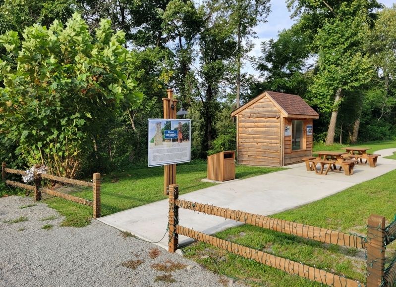
Historic Stone Chimneys Marker
RANKED BY RELEVANCE
| On National Pike (U.S. 40) 2.1 miles west of Jumonville Road (County Route 2021), on the right when traveling east. |
| Near East Main Street (U.S. 40). |
| On 10 Mile Street at County Park Road, on the right when traveling east on 10 Mile Street. |
| On National Pike (U.S. 40) west of the entrance to Fort Necessity Nat. Battlefield, on the right when traveling east. |
| On Morgantown Road 0.1 miles north of Georges Fairchance Road (Pennsylvania Route 857), on the right when traveling north. |
| On Kentucky Route 1 at Laurel Road, on the left when traveling north on Kentucky Route 1. |
| On Pittsburgh Road (Pennsylvania Route 51) at Laurel Hill Road, on the right when traveling north on Pittsburgh Road. |
| On U.S. 27 at Hutchison Station Road (Kentucky Route 1939), on the right when traveling north on U.S. 27. |
| Near Headlands Road north of McGulpin Point Road, on the right when traveling north. |
| On South Main Street 0.1 miles north of 5th Avenue, on the right when traveling north. |
| On Old College Road 0.5 miles south of State Highway 159, on the left when traveling south. |
| On Main Street (County Route 120) at Simmons Avenue, on the left when traveling east on Main Street. |
| Near East North Loop Road 0.2 miles west of Wurzbach Parkway. |
| On U.S. 77 at Rabb's Prairie Road, on the right when traveling south on U.S. 77. |
| On State Highway 94 north of Lucille Avenue, on the right when traveling north. |
| On East Main Street (Business U.S. 40) at Beeson Avenue, on the left when traveling west on East Main Street. |
| On East Main Street (Business U.S. 40) at Moran Alley, on the right when traveling west on East Main Street. |
| On North Main Street south of First Street, on the left when traveling south. |
| Near 900 East south of East 12600 South. |
| On Main Street (West Virginia Route 211) 0.1 miles east of North Michigan Avenue, on the right when traveling east. |
| Near East George Street north of Old Ferry Road (County Route 1017), on the left when traveling north. |
| Near Main Street north of Rices Landing Road (County Road 1010), on the left when traveling north. |
| Near Main Street north of Rices Landing Road (County Route 1010), on the left when traveling north. |
| On Main Street (County Route 120) at Simmons Avenue (County Route 120), on the left when traveling west on Main Street. |
| On W. State Street, on the right when traveling west. |
Thin black lines indicate changes in relevance. Between each pair of lines entries are ordered geographically but all have the same relevance.* Inflectional forms of words are their plurals, singulars, and possessives as well as gramatical tenses and similar variations.
Nov. 12, 2026
