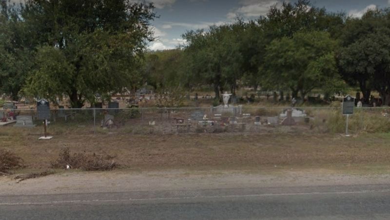
By Google Streetview, August 2016
Archelaus Bynum Dodson Marker
RANKED BY RELEVANCE
| On South Flournoy Road (Farm to Market Road 1931) south of Sain Drive (County Road 342), on the right when traveling south. |
| On McAlpine Street at South LaSalle Street, on the right when traveling north on McAlpine Street. |
| Near Navasota Street north of East 7th Street, on the right when traveling north. |
| On Avenue I at 9th Street, on the right when traveling north on Avenue I. |
| On Farm to Market Road 1458 0.1 miles east of Buller Road, on the right when traveling west. |
| On West 2nd Street (State Highway 22) near North 24th Street, on the right when traveling east. |
| On South Montgomery Street south of East Columbia Street (State Highway 547), on the left when traveling south. |
| On State Highway 6 at County Route 112, on the right when traveling south on State Highway 6. |
| On State Highway 6 8.7 miles north of U.S. 290, on the right when traveling south. |
| On County Road 666 2 miles north of County Road 668, on the right when traveling west. |
| On 12th Street at University Avenue, on the right when traveling west on 12th Street. |
| On State Highway 214 0.2 miles south of Farm to Market Road 37, on the right when traveling south. |
| On South Main Street (Loop State Highway 429) at West Buffington Avenue, on the left when traveling north on South Main Street. |
| On Farm to Market Road 1774 at County Road 313, on the right when traveling north on Road 1774. |
| On State Highway 90 at County Highway 106, on the left when traveling south on State Highway 90. |
| On Austin Street (Business U.S. 290), on the right when traveling west. |
| On South Main Street (State Highway 429) at Buffington Lane, on the left when traveling north on South Main Street. |
| On North Magnolia Avenue at NW 7th Street, on the left when traveling north on North Magnolia Avenue. |
| On South Main Street (Loop State Highway 429) at Buffington Avenue, on the right when traveling south on South Main Street. |
| On Center Street at West Helga Street, on the right when traveling south on Center Street. |
| Near Boonville Road 0.1 miles east of Austins Colony Parkway. |
| On County Highway 108 at Sollock Lane, on the left when traveling west on County Highway 108. |
| On Hunter Road (Farm to Market Road 2439) 0.3 miles north of Center Point Road, on the right when traveling north. |
| On Farm to Market Road 2562 0.5 miles south of County Highway 217, on the left when traveling south. |
| Near Navasota Street north of East 8th Street, on the right when traveling north. |
| On Farm to Market Road 861 0.2 miles north of County Road 103, on the left when traveling north. |
| On South Main Street (Loop State Highway 429) at West Buffington Avenue, on the left when traveling south on South Main Street. |
| On State Highway 30 at Williams Road, on the left when traveling west on State Highway 30. |
| On South Main Street (County Highway 245) south of West Apalonia Avenue, on the right when traveling south. |
| On an unnamed cemetery road, on the right when traveling south. |
| On Farm to Market Road 362 0.1 miles south of County Highway 305, on the right when traveling south. |
| On Farm to Market Road 1094 at Swearingen Road, on the right when traveling west on Highway 1094. |
| Near Center Street at West Helgera, on the left when traveling north. |
Thin black lines indicate changes in relevance. Between each pair of lines entries are ordered geographically but all have the same relevance.* Inflectional forms of words are their plurals, singulars, and possessives as well as gramatical tenses and similar variations.
Nov. 13, 2026
