22 entries match your criteria.
Related Historical Markers
Follow the Memory Lane trail by markers.
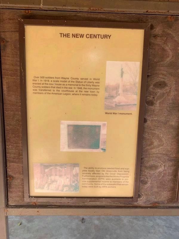
By Thomas Smith, 10 4 21
The New Century Marker - (Second Panel)
SHOWN IN SOURCE-SPECIFIED ORDER
| Near U.S. 67 0.2 miles south of County Road 221, on the right when traveling south. |
| Near U.S. 67 0.2 miles County Road 221, on the right when traveling south. |
| Near U.S. 67 2 miles south of County Road 221, on the right when traveling south. |
| Near U.S. 67 2 miles south of County Road 221, on the right when traveling south. |
| Near U.S. 67 2 miles south of County Road 221, on the right when traveling south. |
| On U.S. 67 2 miles south of County Road 221, on the right when traveling south. |
| Near U.S. 67 2 miles south of County Road 221, on the right when traveling south. |
| Near U.S. 67 2 miles south of County Road 221, on the right when traveling south. |
| Near U.S. 67 2 miles south of County Road 221, on the right when traveling south. |
| Near U.S. 67, on the right when traveling south. |
| Near U.S. 67 2 miles south of County Road 221, on the right when traveling south. |
| Near U.S. 67 just south of County Road 221, on the right when traveling south. |
| Near U.S. 67, on the right when traveling south. |
| Near U.S. 67, on the right when traveling south. |
| Near U.S. 67, on the right when traveling south. |
| Near Highway 67, on the right when traveling south. |
| Near Highway 67, on the right when traveling south. |
| Near Highway 67, on the right when traveling south. |
| Near Highway 67, on the right when traveling south. |
| Near U.S. 67, on the right when traveling south. |
| Near U.S. 67, on the right when traveling south. |
| Near U.S. 67 2 miles south of County Road 221, on the right when traveling south. |
Nov. 11, 2026
