12 entries match your criteria.
Related Historical Markers
By Cosmos Mariner, June 18, 2022
Camp Hughes / Le Camp Hughes Marker
SHOWN IN SOURCE-SPECIFIED ORDER
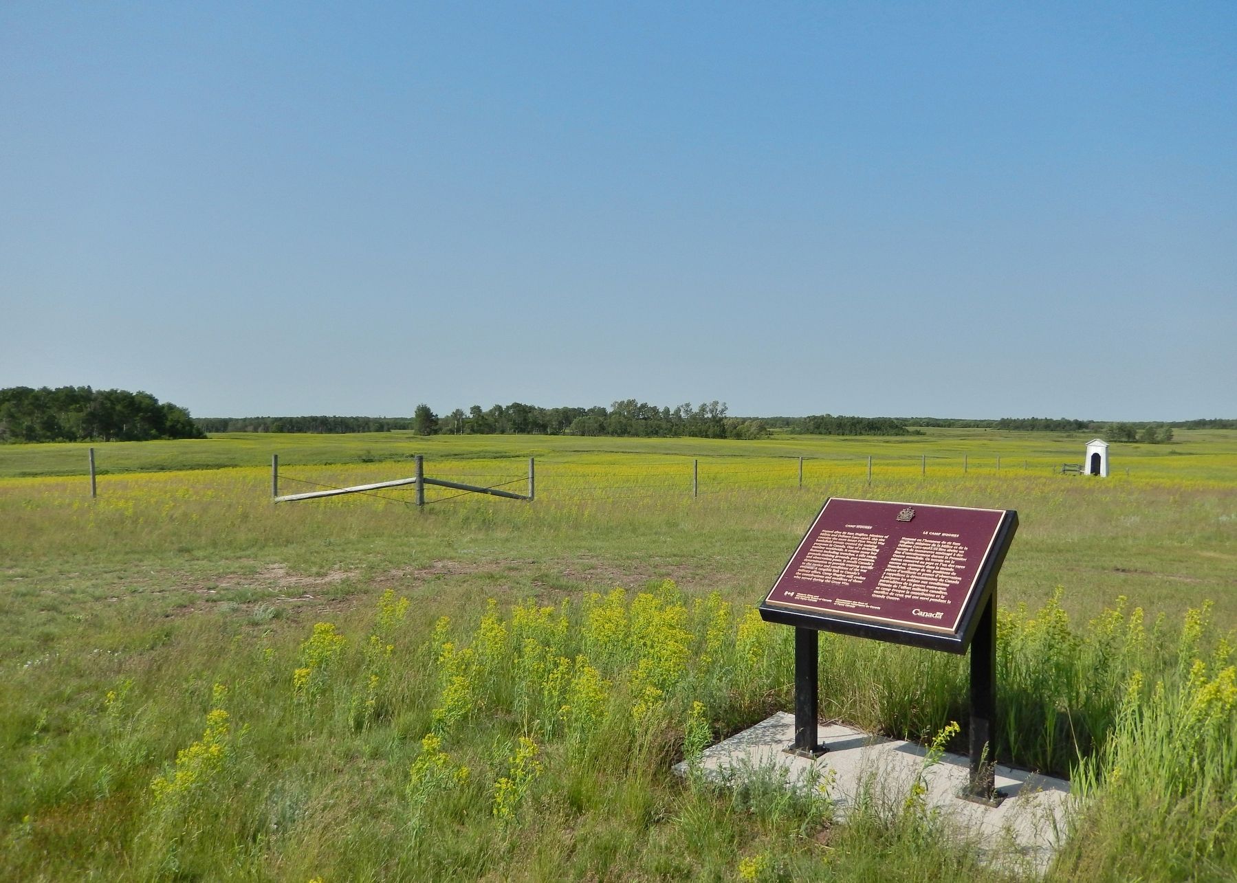
| 1 ► Manitoba, North Cypress – Langford Municipality, Camp Hughes — Camp Hughes / Le Camp Hughes — |
| Near Camp Hughes Road (Road 91 W) 1.6 kilometers south of Provincial Road 351. | |||
| 2 ► Manitoba, North Cypress – Langford Municipality, Camp Hughes — Camp Hughes — |
| Near Camp Hughes Road (Road 91 W) 1.6 kilometers south of Provincial Road 351. | |||
| 3 ► Manitoba, North Cypress – Langford Municipality, Camp Hughes — Camp Hughes National Historic Site of Canada / Le camp Hughes Lieu historique national du Canada — |
| Near Camp Hughes Road (Road 91 W) 1.6 kilometers south of Provincial Road 351. | |||
| 4 ► Manitoba, North Cypress – Langford Municipality, Camp Hughes — Trench Warfare / La guerre de tranchées — |
| Near Camp Hughes Road (Road 91 W) 1.6 kilometers south of Provincial Road 351. | |||
| 5 ► Manitoba, North Cypress – Langford Municipality, Camp Hughes — Training For War / L'entraînement de guerre — |
| Near Camp Hughes Road (Road 91 W) 1.6 kilometers south of Provincial Road 351. | |||
| 6 ► Manitoba, North Cypress – Langford Municipality, Camp Hughes — Camp Life / La vie de camp — |
| Near Camp Hughes Road (Road 91 W) 1.6 kilometers south of Provincial Road 351. | |||
| 7 ► Manitoba, North Cypress – Langford Municipality, Camp Hughes — Camp Hughes — Overview / Tour d'horizon du Camp Hughes — |
| On Camp Hughes Road (Road 91 W) 1 kilometer south of Provincial Road 351, on the right when traveling south. | |||
| 8 ► Manitoba, North Cypress – Langford Municipality, Camp Hughes — The Soldier's Recreation / Les moments de loisir des soldats — |
| On Camp Hughes Road (Road 91 W) 1 kilometer south of Provincial Road 351, on the right when traveling south. | |||
| 9 ► Manitoba, North Cypress – Langford Municipality, Camp Hughes — The Parade Ground / La terrain de parade — |
| On Camp Hughes Road (Road 91 W) 1 kilometer south of Provincial Road 351, on the right when traveling south. | |||
| 10 ► Manitoba, North Cypress – Langford Municipality, Camp Hughes — Camp Hughes Railway Station / Depot / Railhead Area — Gare / dépôt / terminal ferroviaire du Camp Hughes — |
| On Camp Hughes Road (Road 91 W) 1 kilometer south of Provincial Road 351, on the left when traveling south. | |||
| 11 ► Manitoba, North Cypress – Langford Municipality, Camp Hughes — Headquarters, Administration and Logistics Area — Le quartier général et la zone administrative et logistique — |
| On Camp Hughes Road (Road 91 W) 1 kilometer south of Provincial Road 351, on the left when traveling south. | |||
| 12 ► Manitoba, North Cypress – Langford Municipality, Camp Hughes — The Hospital / L'hôpital — |
| On Camp Hughes Road (Road 91 W) 1.6 kilometers south of Provincial Road 351, on the left when traveling south. | |||