15 entries match your criteria.
Related Historical Markers
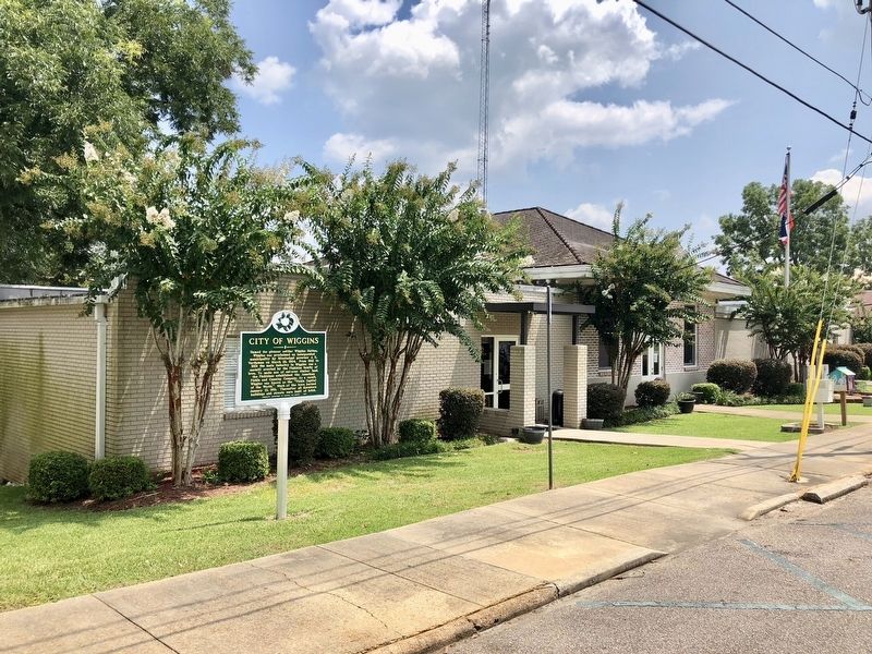
By Mark Hilton, August 23, 2018
City of Wiggins Marker at City Hall.
SHOWN IN SOURCE-SPECIFIED ORDER
| On First Street North north of East College Avenue, on the right when traveling north. |
| On State Highway 29 near Flint Creek Water Park entrance, on the left when traveling north. |
| On South Magnolia Drive (Mississippi Route 29) at East Pine Avenue, on the right when traveling north on South Magnolia Drive. |
| On First Street North north of North 1st Street, on the right when traveling north. |
| On City Bridge Road 0.9 miles south of Highway 26, on the right when traveling south. |
| On U.S. 49 at Perkinston-Silver Run Road (Main Street), on the right when traveling south on U.S. 49. |
| On New Hope Road 0.6 miles south of Shadeville Road, on the right when traveling south. |
| On U.S. 49 at East McHenry Road, in the median on U.S. 49. Reported missing. |
| On McHenry School Drive 0.1 miles south of West McHenry Road, on the right when traveling south. |
| On East Central Avenue (State Highway 26) at Iowa Street, on the right when traveling east on East Central Avenue. |
| On Mississippi Route 15 0.7 miles south of Cut Off Road, on the right when traveling south. |
| On North Azalea Drive (U.S. 49) 1.3 miles north of West Central Avenue (State Highway 26), on the left when traveling north. |
| On Court Street at East Cavers Avenue, on the right when traveling north on Court Street. |
| On State Highway 26 0.5 miles west of Old Highway 26, on the right when traveling west. |
| On Friendship Lane at King Bee Road, on the right on Friendship Lane. |
Nov. 11, 2026
