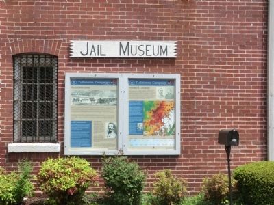
By Don Morfe, April 24, 2014
Tullahoma Campaign Markers
RANKED BY RELEVANCE
| On Bluff Street at Dinah Shore Boulevard (Tennessee Route 50), on the right when traveling north on Bluff Street. Reported permanently removed. |
| On South Jefferson Street near Dinah Shore Boulevard (Tennessee Highway 16), on the left when traveling south. |
| On Tennessee Street (Tennessee Route 16), on the left when traveling west. |
| On 1st Avenue NW at South High Street, on the left when traveling west on 1st Avenue NW. |
| On Green Hill Cemetery Road 0.1 miles east of Atwood Avenue, on the right when traveling north. |
| On S. Water Street, on the left when traveling south. |
| On Short Street west of Mechanic Street South, on the left when traveling west. |
| On North Grove Street (Farm to Market Road 1997) at Rainey Street, on the left when traveling north on North Grove Street. |
| On Grand Avenue at Gould Ave. on Grand Avenue. |
| Near Railroad Avenue west of Depot St, on the left when traveling east. |
| Near Kasserman Switch Lane at U.S. 64, on the right when traveling west. |
| On Highway 156 at Pinetree Rd. (County Highway 156), on the right when traveling north on Highway 156. |
| On 1st Avenue SE (Business U.S. 64) at South Jefferson Street, on the left when traveling east on 1st Avenue SE. |
| On Cowan Hwy (U.S. 64), on the right when traveling east. |
| On Polly Crockett Lane west of Buncombe Rd, on the right when traveling north. |
| Near North Front Street at Madison Avenue. |
| On County Road 3070 0.1 miles west of County Road 115, on the right when traveling west. |
| On County Road 3070 0.1 miles west of County Road 115, on the right when traveling west. |
| On Dubose Street (Tennessee Route 56) north of Dixie Lee Avenue (U.S. 64), on the right when traveling north. |
| Near 4th Avenue South (Alternate U.S. 31). |
| On Market Street (Alabama Route 33) at Walnut Street when traveling south on Market Street. |
| On E 20th Street at Paige Street on E 20th Street. |
| On South Dickson Street at East 7th Street, on the right when traveling south on South Dickson Street. |
| On McElroy Lane 1 mile north of San Felipe Road (County Highway 31), on the right when traveling north. |
| On Doran Circle west of White Rock Trail, on the left when traveling west. |
| On Interstate 10 Frontage Road at Enchanted Lane, on the right when traveling west on Interstate 10. |
| Near Navasota Street at East 7th Street. |
| On North Water Street at West 4th Street, on the left when traveling north on North Water Street. |
| On South Main Street at West 6th Street, on the right when traveling south on South Main Street. |
| On West Jefferson Street at S Commerce Alley, on the left when traveling west on West Jefferson Street. |
| On South Jackson Street (State Highway 41-a) at Vocational Lane, on the left when traveling south on South Jackson Street. |
| Near North Center Street just south of East Mulberry Street, on the right when traveling north. |
| On Musket Lane, on the right when traveling south. |
| On West 8th Street west of Jefferson Street, on the left when traveling west. |
| On 1st Avenue Northwest, on the right when traveling north. |
| On Dinah Shore Boulevard (U.S. 41A) at North College Street, on the left when traveling north on Dinah Shore Boulevard. |
Thin black lines indicate changes in relevance. Between each pair of lines entries are ordered geographically but all have the same relevance.* Inflectional forms of words are their plurals, singulars, and possessives as well as gramatical tenses and similar variations.
Nov. 12, 2026
