By William Fischer, Jr., October 9, 2017
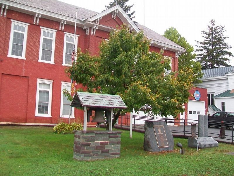
9/11 Monument
GEOGRAPHIC SORT WITH USA FIRST Geographic Sort Title Sort Marker Number Sort Marker Number Sort for Trails Publication Order Sort Publication Order Sort A Erected Year Sort Most Viewed Sort Most Recent-Interest Sort Most Recently Changed Sort SEE FAQ #33 FOR DESCRIPTIONS
On North Park Place (Vermont Route 22A) at Washington Street ( Route 22A), on the right when traveling west on North Park Place.
On South Hayes Street 0.1 miles west of 18th Street South, on the left when traveling west.
Near Albermarle Drive at Holt Drive, on the left when traveling east.
Near City Park Drive at Greenbrier Road, on the left when traveling west.
Near City Park Drive at Greenbrier Road, on the left when traveling west.
Near City Park Drive at Greenbrier Parkway, on the left when traveling west.
On C Road 0 miles south of North 5th Street, on the right when traveling south.
On Lynn Street west of Colquhoun Street, on the right when traveling south.
On County Complex Court 0.1 miles north of Prince William County Parkway (Virginia Route 294), on the right when traveling west.
Near Richmond Highway (U.S. 1) 0.1 miles south of Joplin Road (Route 619), on the right when traveling south.
On North Terrace Avenue 0.1 miles north of Terrace Avenue, on the right when traveling north.
On West Main Street (Route 11/460) 0.3 miles west of Texas Hollow Road (Virginia Route 641), on the right when traveling east.
On West Main Street (U.S. 11) at West Court Street, on the right when traveling west on West Main Street.
On North Augusta Street at Pump Street, on the left when traveling north on North Augusta Street.
On Thomas S. ‘Tom’ Foley Memorial Highway (U.S. 395) at West Hildebrand Boulevard, on the right when traveling west on Thomas S. ‘Tom’ Foley Memorial Highway.
Paid Advertisement
On Thomas S. ‘Tom’ Foley Memorial Highway (U.S. 395) at West Hildebrand Boulevard, on the right when traveling south on Thomas S. ‘Tom’ Foley Memorial Highway.
On Ruston Way, on the right when traveling north.
On Military Drive just south of Marshaling Yard Drive, on the right when traveling south.
On Jerry Dove Drive (County Route 13/5) 0.1 miles west of Shinns Run Road (County Route 707), on the right when traveling west.
On Main Street (West Virginia Route 100) at Tomago Street, on the right when traveling north on Main Street.
On Neville Street at 1st Avenue, on the left when traveling east on Neville Street.
On 3rd Street, on the right when traveling north.
On Dousman Street (U.S. 141) at Museum Place, on the right when traveling east on Dousman Street. Reported permanently removed.
On 18th Avenue north of 12th Street, on the right when traveling north.
On Post Road (Business U.S. 51) south of School Drive, on the left when traveling south.
On Queen Street North at Otto Street, on the right when traveling north on Queen Street North.
Near Colbeck Street at Henrietta Street, on the left when traveling south.
︽
227 entries matched your criteria. Entries 201 through 227 are listed above.
⊲ Previous 100