After filtering for Scotland, 19 entries match your criteria.
Historical Markers and War Memorials in Lairg, Scotland
By Michael Herrick, August 30, 2018
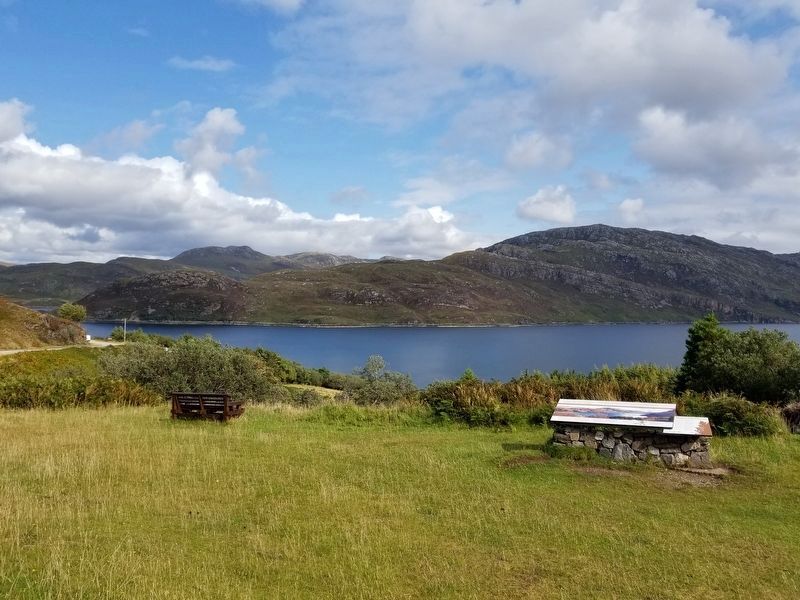
A geological sandwich Marker
| On Scotland Route A894, 2.4 kilometers south of the Kylesku Bridge, on the left when traveling south. |
| On Route A838, 25.3 kilometers south of the village of Durness, on the left when traveling south. |
| On Scotland Route A837, 1.3 kilometers south of Scotland Route A894, on the right when traveling south. |
| On Route A837, 2.1 kilometers south of Route A894, on the right when traveling south. |
| On Scotland Route A838, 3.2 kilometers west of Scotland Route A836 when traveling west. |
| On Scotland Route A838, 43.4 kilometers west of Scotland Route A836, on the left when traveling west. |
| On Scotland Route A838, 45.1 kilometers west of Scotland Route A836, on the right when traveling west. |
| On Scotland Route A838, 45.1 kilometers west of Scotland Route A836, on the right when traveling west. |
| On Scotland Route A837, 1.3 kilometers south of Scotland Route A894, on the right when traveling south. |
| On Scotland Route A838 at where A838 turns left toward Rhiconich, on the left when traveling west on State Route A838. |
| On Scotland Route A838 at where A838 turns left toward Rhiconich, on the left when traveling west on State Route A838. |
| On Scotland Route A837, 5 kilometers south of Scotland Route A894, on the right when traveling south. |
| On Scotland Route A835, 4.8 kilometers south of Scotland Route A837, on the right when traveling south. |
| On Route A838 at Unnamed Road to Keoldale, on the right when traveling south on Route A838. |
| On Scotland Route A838, 3.2 kilometers west of Scotland Route A836, on the left when traveling west. |
| On Scotland Route A894 at the Kylesku Bridge, on the right when traveling south on State Route A894. |
| On Scotland Route A838, 13.8 kilometers south of the village of Durness, on the right when traveling south. |
| On Scotland Route A838 at Unnamed Road to Keoldale, on the right when traveling south on State Route A838. |
| On Route A894 at the Kylesku Bridge, on the right when traveling south on Route A894. |
May. 29, 2024