Near Israeli National Trail, on the left when traveling north.
On this site of what was once a Phoenician town, Stratos Tower, King Herod (37-4 BCE) built a resplendent city and named it Caesarea in honor of his patron, Augustus Caesar. Its inhabitants – Romans, Samaritan, and Jews – enjoyed the . . . — — Map (db m146243) HM
Near Israeli National Trail, on the left when traveling north.
Caesarea in the Middle Ages
In the course of the 7th century, Caesarea's population started to decrease. Large areas of the city were abandoned, and were used only as burial grounds and as a source of building stones. The perimeter . . . — — Map (db m164466) HM
Near Israeli National Trail, on the left when traveling north.
Caesarea was founded by King Herod in the late 1st century BCE as a port city and the maritime gateway to his kingdom. Its name reflected its character: a typical Roman city, offering entertainment and pleasures, food and amusements. The . . . — — Map (db m164467) HM
Near Israeli National Trail, on the left when traveling north.
During the Roman and Byzantine periods (the 1st to 7th centuries CE), the cities of Palestine were adorned with columned streets, plazas, temples, churches, entertainment buildings and bathhouses that were erected in the best classical . . . — — Map (db m164468) HM
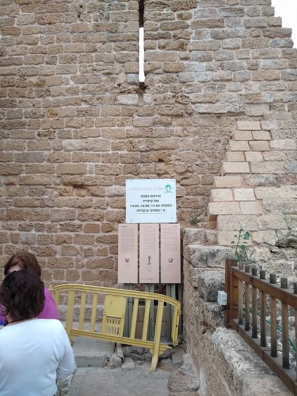
Near Israeli National Trail, on the left when traveling north.
This cornice was part of the roofing system (entablature) of a monumental building. It was adorned on both sides with geometric and floral motifs using the Corinthian order, the prevailing architectural-artistic style in Asia Minor in the . . . — — Map (db m164790) HM
On Israel National Trail, on the left when traveling north.
The Palace was erected in several stages and underwent various alterations. At the end of the Roman period, the role of the whole area changed. The Upper Palace was partitioned into private swellings, before being abandoned at the end of . . . — — Map (db m221503) HM
Near Israel National Trail, on the left when traveling north.
A sarcophagus adored with garlands, whose carving was not complete. The broken part at its upper end indicates that the sarcophagus had been looted in antiquity. Inscribed on its lid is a funerary inscription, saying that Alypis, husband . . . — — Map (db m164793) HM
Near Israeli National Trail, on the left when traveling north.
Inscribed Stones
In Caesarea, the streets, the public buildings and the burial tombs were all decorated with dedication inscriptions. During the first three-hundred years of the first millennium CE, Latin was the most used language . . . — — Map (db m164792) HM
Near Israel National Trail, on the left when traveling north.
In the early 2nd c. A.D., one vault was converted into a "Mithraeum". The contrast between the dark vault and the shaft of sunlight reaching directly the altar from the opening in the ceiling, played a role in the cult of Mithras, known . . . — — Map (db m164813) HM
On Israel National Trail, on the left when traveling north.
The Praetorium was the symbol of power and control. Offices as well as police and guard rooms were located at the eastern side of the Upper Palace. Within sight of the hippodrome and the theater, the palace subtly reminded the crowds of . . . — — Map (db m166810) HM
Near Israel National Trail, on the left when traveling north.
These are the remains of a public bathhouse that stood close to the harbor pier. It was a service provided for seafarers, along with port facilities like trading posts, repairs, storage and maintenance.
Water was piped into the hot . . . — — Map (db m164808) HM
Near Israel National Trail, on the left when traveling north.
A very large sarcophagus simply decorated. It has a gabled lid, with two trapezoidal or triangular “handles” protruding at both ends, adorned with rosettes in relief. Marble – The Late Roman period (2nd – 3rd . . . — — Map (db m164805) HM
Near Israel National Trail, on the left when traveling north.
One of the vaults of this two-story twin building abutting the Byzantine governor's palace served in its last stage as a tavern. The vaults served either as warehouses, corridors or substructures for the upper story. . . . — — Map (db m166213) HM
On Israel National Trail, on the left when traveling north.
In the Byzantine period - fourth to seventh centuries C.E. - Caesarea's population grew. The city expanded, and public buildings were erected on the remains of the hippodrome constructed by King Herod. Opposite, one can see remains of a . . . — — Map (db m166214) HM
Near Israel National Trail, on the left when traveling north.
For seafarers entering the harbor of Caesarea, their first encounter with the vibrant city was the splendid temple dedicated to Caesar Augustus and the goddess Roma, soaring above a massive platform supported by impressive vaults.
Over . . . — — Map (db m164810) HM