[English] Named after Sir Sam Hughes, Minister of Militia and Defence (1911–1916), this site contains the most intact First World War battlefield terrain created for training purposes in Canada. One of a dwindling number worldwide, . . . — — Map (db m218700) HM
[English] The open landscape close to the CPR main line made this site attractive for summer training camps for artillery, infantry, and cavalry units. Established as Sewell Camp in 1909, it was renamed in honour of Major-General . . . — — Map (db m218701) HM
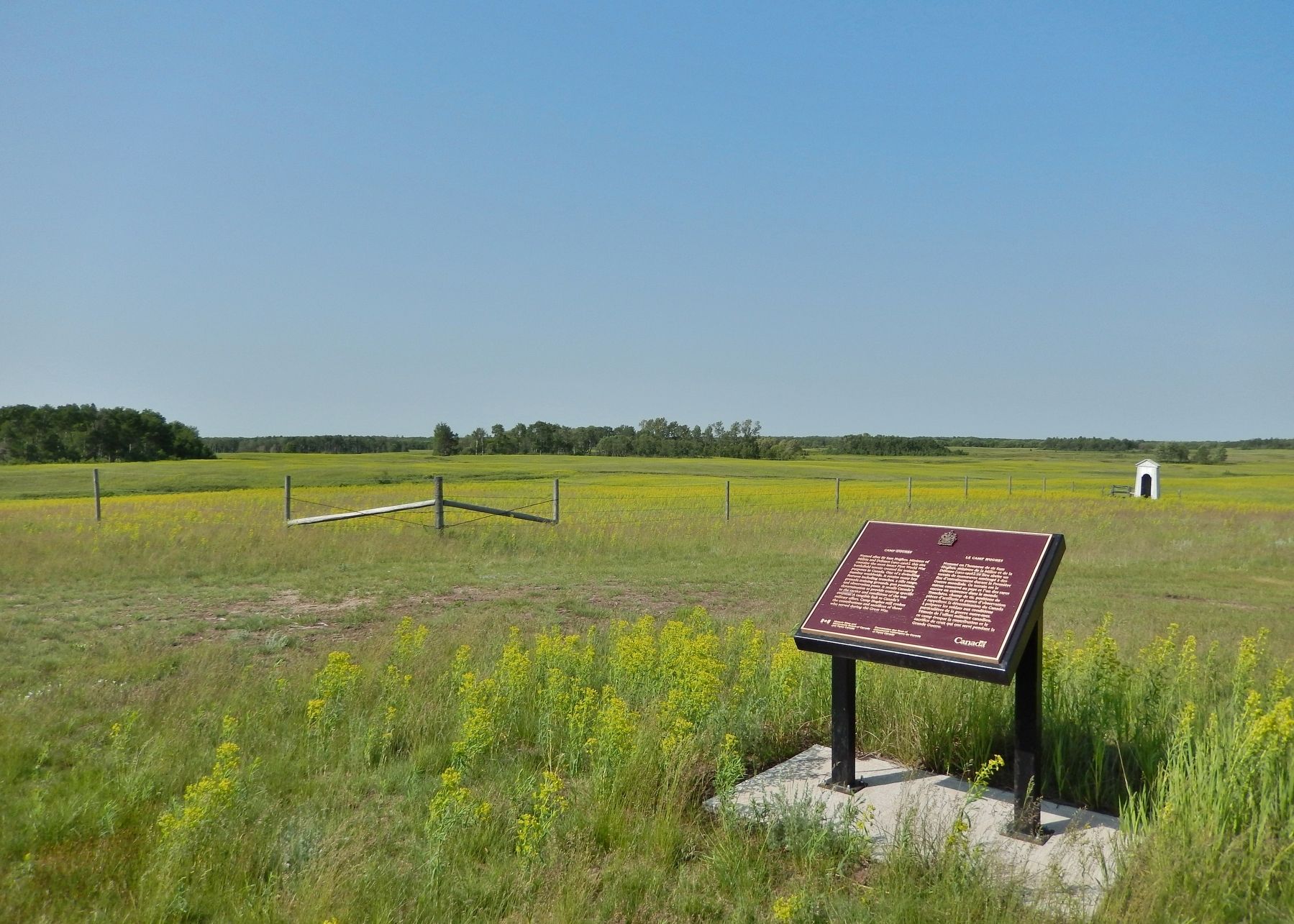
[English] Camp Hughes, originally named Camp Sewell, was established in 1909 as the Central Training Camp for Military District 10 (Manitoba, Saskatchewan, North-West Territory and N.W. Ontario). The terrain was selected for its . . . — — Map (db m218702) HM
[English] The Camp Hughes trench system was developed in 1915/1916 to teach recruit soldiers the lessons of trench warfare which had been learned through great sacrifice on the battlefields of France and Flanders. Seasoned veterans . . . — — Map (db m218705) HM
[English] During the Great War, training at Camp Hughes emphasised basic infantry soldiering where the new recruit learned drill, weapons handling, manoeuvre and tactics. In addition certain specialties were instructed. Signalers . . . — — Map (db m218707) HM
[English] During the Great War, Camp Hughes became the 2nd Largest “city” in Manitoba, second only to Winnipeg. By 1916, the camp was divided into five brigade areas: Central; South Central; West; North-East and South-East Camps. . . . — — Map (db m218708) HM
[English] Established in 1909, Camp Sewell (renamed Camp Hughes in August 1915) opened on a war-time footing in 1915. Compared to the summer of 1914 when almost 7,000 militia soldiers trained, camp strength more than doubled to . . . — — Map (db m218681) HM
[English] When not training soldiers had many opportunities and venues within the Camp to keep themselves occupied. The YMCA and the Knights of Columbus maintained large marquee tents where the men could read books and newspapers, . . . — — Map (db m218684) HM
[English] To the north-west of the Canadian Pacific Railway station lies a large, flat expanse of land. It was here that parades of the camp garrison, comprising up to 30,000 troops took place. Revues of note occurred in 1915 during . . . — — Map (db m218697) HM
[English] Sewell Station was located on the Canadian Pacific Railway line. In 1881, the CPR had reached a point between Carberry and Douglas approximately seven miles east of Douglas. The Railway laid sidings at Sewell (later known . . . — — Map (db m218698) HM
[English] The area immediately south of the main rail line and sidings was established as a headquarters and administrative support area. It contained several wood frame structures including the Commandant's Hut (and Staff Lines), . . . — — Map (db m218699) HM
[English] The Canadian Army Medical Corps, Military District 10, established at Camp Hughes in 1915, a Field Ambulance Depot to raise volunteers for overseas service. As well, a hospital at the Camp was set up consisting of 250 . . . — — Map (db m218704) HM