25 entries match your criteria.
Yreka Trail Historical Markers The Yreka Trail opened up far Northern California and Southern Oregon to gold mining, ranching, farming and lumbering. The emigrants used the Yreka trail for eight to ten years.
By Douglass Halvorsen, April 4, 2015
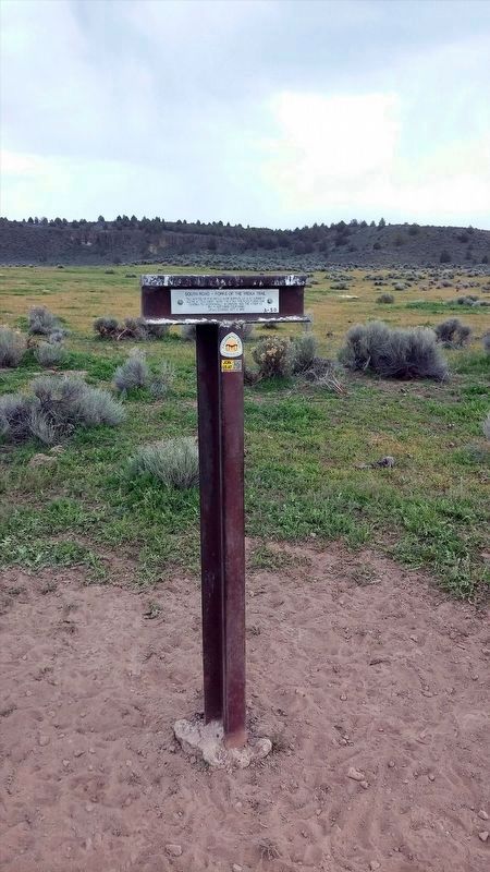
South Road - Forks Of The Yreka Trail / Yreka Trail - The Trail Forks Marker
GEOGRAPHIC SORT Title Sort Marker Number Sort Marker Number Sort N Marker Number Sort T Publication Order Sort Publication Order Sort A Erected Year Sort Most Viewed Sort Most Recent-Interest Sort Most Recently Changed Sort SEE FAQ #33 FOR DESCRIPTIONS
On Dorris Brownell Road, on the left when traveling west.
On Harry Cash Road at Aubrey Lane when traveling north on Harry Cash Road.
On Red Rock Road, on the right when traveling west.
On Willow Creek Red Rock Road at Red Rock Road, on the right on Willow Creek Red Rock Road.
On Old State Hwy, on the left when traveling north.
On Montague Grenada Road, on the right when traveling south.
On Big Springs Road, on the right when traveling north.
On Harry Cash Road, on the left when traveling north.
On Tenant Road, 2 miles south of U.S. 97, on the left when traveling south.
On Volcanic Legacy Scenic Byway (California Route 97) 3.3 miles north of Grass Lake Fire Road, on the left when traveling north.
On Tennant Road, 0.8 miles north of Forest Road 44N25, on the left when traveling north.
Paid Advertisement
On Forest Rd 44N06X, on the right when traveling west.
On Forest Road 44N18Y, 0.8 miles east of Forest Road 44N23, on the right when traveling east.
On U.S. 97 at Military Pass Road, on the right when traveling north on U.S. 97.
On California Route 97, on the left when traveling north.
Near U.S. 97, 0.2 miles north of Military Pass Road when traveling north.
On Pilar Road, on the left when traveling south.
On Yama Street at Discovery Street, on the right when traveling west on Yama Street.
On Campbell Avenue, on the left when traveling east.
May. 27, 2024