Marker Logo HMdb.org THE HISTORICAL
MARKER DATABASE
“Bite-Size Bits of Local, National, and Global History”


After filtering for Montana, 132 entries match your criteria. Entries 101 through 132 are listed. ⊲ Previous 100                                              


Roads & Vehicles Topic

 
The Mullan Road Marker (<i>wide view</i>) image, Touch for more information
By Cosmos Mariner, July 10, 2013
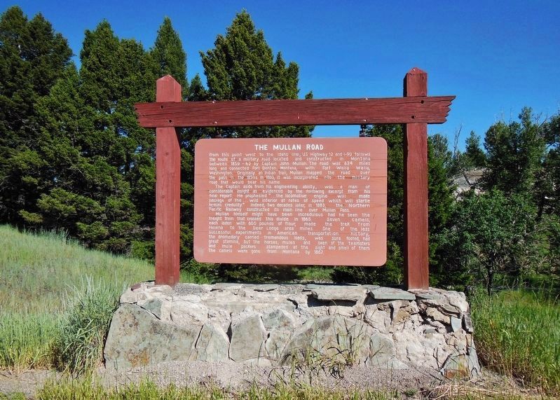
The Mullan Road Marker (wide view)
101 Montana, Powell County, Elliston — The Mullan Road
On U.S. 12, 0.2 miles west of Lime Quarryhills Lane, on the right when traveling west.
102 Montana, Powell County, Goldcreek — The Northern Pacific Railway's Last Spike Celebration
On Interstate 90 at milepost 187 near Gold Creek Road, on the right when traveling north.
103 Montana, Prairie County, Terry — Yellowstone Trail
On Ten Mile Road at Park Street, on the right when traveling north on Ten Mile Road.
104 Montana, Ravalli County, Hamilton — 337 West Main
On West Main Street (State Highway 531) near 4th Street, on the left when traveling west.
105 Montana, Ravalli County, Stevensville — Hunter Building116 Main Street — 1888 —
On Main Street (State Highway 269) near 2nd Street, on the left when traveling south.
106 Montana, Ravalli County, Sula — Which Way Did Lewis & Clark Go?Rugged Mountain Crossing
Near Lost Trail Ski Area (Forest Road 081) near Casey Road (U.S. 93), on the left when traveling east.
107 Montana, Rosebud County, Rosebud — The Hell Creek Formation
Near Interstate 94 at milepost 117, on the right when traveling west.
108 Montana, Sanders County, Plains — Road to the Buffalo
On State Highway 200 at milepost 67 near Old Hicks Road, on the right when traveling west.
109 Montana, Sanders County, Thompson Falls — Bad Rock Trail
On State Highway 200 at milepost 59 near Fruitland Lane, on the right when traveling west.
110 Montana, Sanders County, Thompson Falls — Road to the Buffalo
On State Highway 200 at milepost 52 near Golf Street, on the right when traveling west.
111 Montana, Silver Bow County, Butte — Butte Buick Company/Schumacher BuildingButte National Historic Landmark District
On South Montana Street near West Galena Street, on the left when traveling north.
112 Montana, Stillwater County, Absarokee — Bozeman Trail
On State Highway 78 at milepost 28 near Arena Drive, on the right when traveling north.
113 Montana, Stillwater County, Columbus — Bozeman Trail
Near Interstate 90.
114 Montana, Stillwater County, Columbus — The Great Inland Seaway
On Interstate 90 at milepost 419, on the right when traveling east.
115 Montana, Stillwater County, Park City — The Great Inland Seaway
On Interstate 90 at milepost 419,, 0.2 miles west of Ronan Ranch Road underpass beneath westbound I-90, on the left when traveling west.
Paid Advertisement
116 Montana, Sweet Grass County, Big Timber — The Bonanza or Bozeman Trail
On Big Timber Loop Road (U.S. 191) near Quarry Street, on the right when traveling west.
117 Montana, Sweet Grass County, Big Timber — The Bozeman Trail
Near Interstate 90 at milepost 377, on the right when traveling east.
118 Montana, Sweet Grass County, Big Timber — The Ca(title obscured) 1866(The First Cattle-drive on the Bozeman Trail) — The Mysterious Death of John Bozeman —
Near Interstate 90 at milepost 377, on the right when traveling west.
119 Montana, Sweet Grass County, Greycliff — Captain Wm. Clark
On Interstate 90 at milepost 381,, 4 miles west of Bridger Creek Road and I-90 Interchange (Exit 384), on the right when traveling west.
120 Montana, Sweet Grass County, Greycliff — The Great Highway of the Northwest: The Yellowstone Trail
Near Interstate 90 at milepost 377, on the left when traveling east.
121 Montana, Teton County, Dutton — The Whoop Up Trail
Near Interstate 15 at milepost 319 near 24th Road Northeast, on the right when traveling south.
122 Montana, Toole County, Shelby — Rainbow Conoco
On Main Street (Business U.S. 2) near 4th Avenue, on the right when traveling east.
123 Montana, Toole County, Shelby — Whoop Up Trail
On U.S. 2 at milepost 283 near Kraft Road, on the right when traveling east.
124 Montana, Treasure County, Sanders — The Yellowstone Valley
On Old Highway 10 near Cole Lane, on the left when traveling west.
125 Montana, Valley County, Glasgow — The Ice Ages
On U.S. 2 near Tampico North Road, on the left.
126 Montana, Yellowstone County, Billings — 32 — An Automobile at the Cigar StoreHistoric Montana Avenue
Near Montana Avenue (Business U.S. 90) near North 29th Street, on the right when traveling west.
127 Montana, Yellowstone County, Billings, North Park — 3 — The Yellowstone Garage - 1920Historic Montana Avenue
Near Montana Avenue (Business Interstate 90) at North 23rd Street, on the left when traveling east.
128 Montana, Yellowstone County, Billings, South Side — Billings: The Father and the SonFrederick and his son, Parmly Billings
On Montana Avenue (Business Interstate 90) near North 23rd Street.
129 Montana, Yellowstone County, Billings, South Side — Oliver Building
On Montana Avenue at North 27th Street, on the right when traveling east on Montana Avenue.
130 Montana, Yellowstone County, Billings, South Side — Price Motor SalesBillings Old Town Historic District
On Minnesota Avenue near South 26th Street, on the left when traveling east.
131 Montana, Yellowstone County, Custer — The Great Highway of the Northwest: The Yellowstone Trail
Near Interstate 94 at milepost 41, on the right when traveling west.
Paid Advertisement
132 Montana, Yellowstone County, Laurel — The Yellowstone Trail
On East Main Street (Old U.S. 10) near 1st Avenue (?), on the left when traveling west.

132 entries matched your criteria. Entries 101 through 132 are listed above. ⊲ Previous 100
 
 
CeraNet Cloud Computing sponsors the Historical Marker Database.
This website earns income from purchases you make after using our links to Amazon.com. We appreciate your support.
Paid Advertisement
Jun. 6, 2024