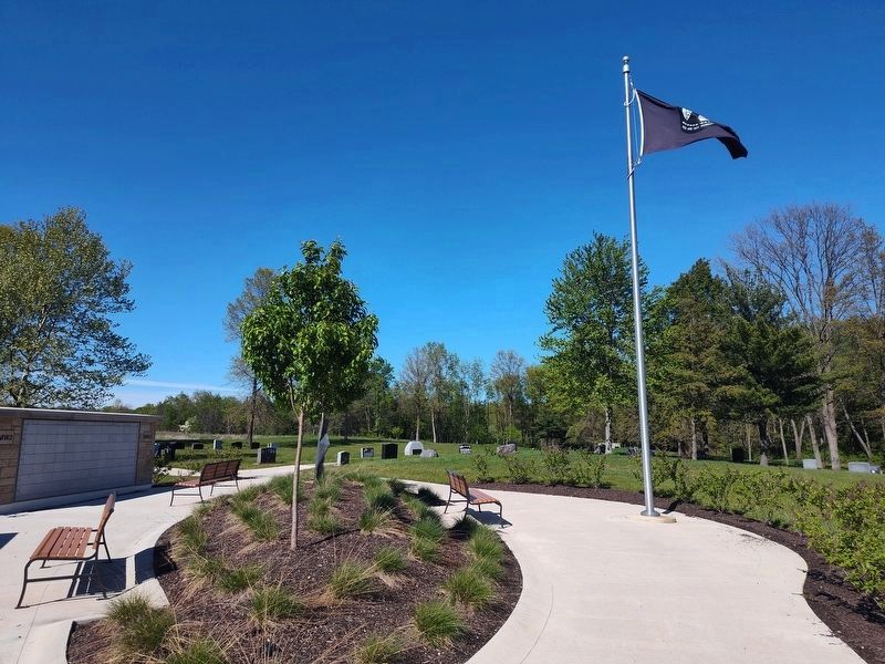
On Liberty Road at Loyalty Drive, on the right when traveling north on Liberty Road.
La Societe des Quarante Hommes et Huit Chevaux, popularly known as Forty and Eight, is a fun and honor society of all war veterans. It draws its origin from the First World War when young Americans were sent to France to fight in the war to end . . . — — Map (db m306754) WM
On Market Street at Exchange Street, on the right when traveling east on Market Street. Reported missing.
On December 21, 1818, The Grand Lodge of Free and Accepted Masons of Ohio granted a Charter to Middlebury Lodge No. 34 marking the beginning of Freemasonry in Summit County. The Lodge was located on Case Avenue, then known as Water Street. Two . . . — — Map (db m299756) HM
On South High Street at Church Street, on the right when traveling north on South High Street.
On December 30, 1847, six educators met at the Summit County Courthouse to organize the first convention of the Ohio State Teachers' Association, now known as the Ohio Education Association (OEA). The organizers Josiah Hurty (Richland County), . . . — — Map (db m299758) HM
On Howard Street at Martin Luther King Jr Blvd (Ohio Route 59), on the right when traveling north on Howard Street.
Side A:
The center of African-American culture in Akron during the mid-20th century, Howard Street was home to many of the city's black-owned business and entertainment establishments, and provided an atmosphere in which minority-owned . . . — — Map (db m43566) HM
On Portage Path at Merriman Road, on the right when traveling north on Portage Path.
The Old Portage, an eight-mile overland connection between the Cuyahoga and Tuscarawas Rivers, was the longer of two portages used by prehistoric peoples and early settlers. This was just one link in the water route between Lake Erie and the Ohio . . . — — Map (db m48845) HM
In 1785, American Indian tribal leaders from the Chippewa, Delaware, Ottawa, and Wyandot met with representatives sent by the United States Congress to sign the controversial Treaty of Fort McIntosh. The treaty surrendered control of Native . . . — — Map (db m43512) HM
On Portage Lakes Drive (County Route 75) at South Turkeyfoot Road (County Route 123), on the right when traveling east on Portage Lakes Drive.
Coventry Township. The land on which Coventry Township is situated was ceded in 1785 to
the United States by the Delaware, Chippewa, Ottawa, and Wyandot tribes under the Treaty of Fort McIntosh. The area was a choice location for Native . . . — — Map (db m277653) HM
On West North Street at Hickory Street, on the right when traveling west on West North Street.
Although trained as a chemical engineer, Jack's great passions were the Ohio canal system and photography. Jack and his wife, Vicki, walked the entire length of all of the canals in Ohio. Author of A Photo Album of Ohio's Canal Era, 1825 – 1913 and . . . — — Map (db m302681) HM
On Copley Road (Ohio Route 162) at Diagonal Road, on the right when traveling east on Copley Road.
Born in Torrington, Connecticut, John Brown moved with his family to Hudson, Ohio, in 1805 and lived many years in Portage and Summit Counties. His expert knowledge of sheep and wool led to a business partnership with Colonel Simon Perkins from . . . — — Map (db m221947) HM
On Canal Road at Stone Road, on the right when traveling south on Canal Road.
Directly across the Cuyahoga River from this spot is the South Park Village. Here, archeologists uncovered the remains of a four-acre, Native American settlement populated by people of the Whittlesey Tradition. The people of South Park lived in . . . — — Map (db m140124) HM
On Ohio Turnpike (Interstate 80 at milepost 197), 3 miles east of Painesville Ravenna Road ( Route 44), on the right when traveling west.
The Underground Railroad
The Underground Railroad was neither underground nor a railroad, but a system of loosely connected safe havens where those escaping the brutal conditions of slavery were sheltered, fed, clothed, nursed, concealed, . . . — — Map (db m189183) HM
The Underground Railroad
The Underground Railroad was neither underground nor a railroad, but a system of loosely connected safe havens where those escaping the brutal conditions of slavery were sheltered, fed, clothed, nursed, concealed, . . . — — Map (db m207605) HM
On High Street (Ohio Route 261), on the left when traveling south.
On this site on May 29, 1851, Sojourner Truth, a former slave, gave her world famous "And Ain't I a Woman?" speech, recalling the hardships she had endured. Active in both the Abolitionist and Women's Rights Movements, she electrified an audience . . . — — Map (db m43726) HM
On Canal Road (County Route 100), on the right when traveling north.
How Does The Canal System Work?
The Ohio-Erie Canal was constructed with two summit levels: one near Akron in Summit County and the other, the Licking Summit, in Licking and Fairfield Counties. Reservoirs of water were created on both summit . . . — — Map (db m250206) HM
On Everett Road 0.2 miles south of Oak Hill Road, on the right when traveling east.
The reconstructed Everett Covered Bridge stands as a
reminder of a common 19th-century Ohio scene. While its
original date of construction is uncertain, it is patterned on
the 1869 Smith Truss design. In the 19th century, Ohio led
the nation . . . — — Map (db m166145) HM
On Orange Avenue Southeast near Cascade Road Southeast, on the right when traveling east.
Established in 1864, the Cascade Christian Church is the oldest of its brotherhood in Kent County. Alfred Stow and his parents, Zebulon and Edytha, who settled in the area in the early 1860s led the efforts to organize the church. The Stows had also . . . — — Map (db m182788) HM
On Park Avenue at 5th Street NW, on the left when traveling west on Park Avenue.
To honor your many accomplishments as a teacher, coach, and athlete, and to thank you for setting a great example for your peers and the youth of the Magic City.Athletic Accomplishments
Selected.....All Ohio Football-1954 . . . — — Map (db m48876) HM
On Ira Road at Oak Hill Road, on the right when traveling west on Ira Road.
This is the original home of Jonathan Hale drawn by Albert Ruger. It is based on the recollection of James Hale as depicted in Old Homesteads of the Hale Hammond Pioneers complied by C. O. Hale. Jonathan Hale arrived in Township 3 Range 12 in 1810. . . . — — Map (db m134606) HM
On West North Street at Hancock Street, on the right when traveling west on West North Street.
Lynn Rodeman Metzger taught Anthropology at The University of Akron from 1990 to 2014. She always considered mentoring students as her most important endeavor, encouraging them in the classroom and beyond. Lynn also believed in connecting students . . . — — Map (db m302684) HM
On Ohio & Erie Canal Towpath Trail at Boston Mills Road (County Road 32), on the right when traveling south on Ohio & Erie Canal Towpath Trail. Reported permanently removed.
Boston, the oldest village in Summit County, was first settled by surveyor James Stanford in 1806. The village's first mill was built in 1821, and the Ohio & Erie Canal's arrival in 1827 expanded opportunities for commerce and industry. Many boat . . . — — Map (db m224611) HM
On West North Street at Hickory Street, on the right when traveling west on West North Street.
This garden is inspired by the lives of avid conservationists and dedicated gardeners Christine and Bob Freitag. The area is planted with native Ohio species that feed, shelter and sustain our native wildlife.
Christine and Bob were advocates who . . . — — Map (db m302685) HM
On Fulton Street 0.5 miles south of West Comet Road, on the right when traveling north.
Wall Portion 1
Row 1
In loving memory of past National Commander John Montis.
Sgt. Paul Leroy Parker, Barberton High School Class of 1965. United States Air Force 1967-1971. 75th Supply Squadron. Inventory . . . — — Map (db m263120) WM
Thin black lines indicate changes in relevance. Between each pair of lines entries are ordered geographically but all have the same relevance.
* Inflectional forms of words are their plurals, singulars, and possessives as well as gramatical tenses and similar variations.