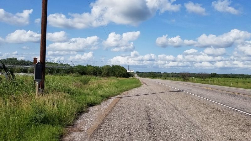
By James Hulse, May 31, 2021
The view of the Shiloh Marker from the road
RANKED BY RELEVANCE
| On State Highway 72 at Woods Cemetery Road (County Road 478), on the right when traveling west on State Highway 72. |
| On U.S. 87 at Catholic Church Road (County Highway 138), on the right when traveling north on U.S. 87. |
| On State Highway 72 at North Louis Avenue, on the right when traveling north on State Highway 72. |
| On Clinton Cemetery Road 0.1 miles east of U.S. 183, on the right when traveling east. |
| On West Reuss Boulevard at Shannon Ct Drive, on the right when traveling west on West Reuss Boulevard. |
| On Farm to Market Road 3088. |
| On North Gonzales Street at East Live Oak Street, on the right when traveling north on North Gonzales Street. |
| On Farm to Market Road 102 south of Farm to Market Road 263, on the right when traveling south. |
| On North Esplanade Street (U.S. 183) at West Prairie, on the right when traveling south on North Esplanade Street. |
| Near Meyersville Road north of H Haun Road. |
| On State Highway 111 0.6 miles west of Farm to Market Road 966, on the right when traveling west. |
| On U.S. 183 south of Concrete-Edgar Road (County Road 242), on the right when traveling south. |
| On North Esplanade Street (U.S. 183) at East Reuss Boulevard (Farm to Market Road 766), on the right when traveling south on North Esplanade Street. |
| On U.S. 183 at Lakeside Drive, on the right when traveling north on U.S. 183. Reported missing. |
| On West Pecan Drive east of Avenue L, on the right when traveling west. |
| Near Landa Park Drive at Monument Drive, on the right when traveling north. |
| On West Grand Avenue (State Highway 111) at Irvine Street (Alternate U.S. 77), on the right when traveling west on West Grand Avenue. |
| On State Highway 119 at Lee Alves Road (County Highway 3024), on the left when traveling south on State Highway 119. |
| On South Market Street south of North Courthouse Square, on the right when traveling south. |
| On U.S. 377 0.5 miles south of Burt Ranch Road, on the left when traveling south. |
| On North Gonzales Street, on the right when traveling north. |
| Near U.S. 183 0.6 miles south of Concrete-Edgar Road (County Road 242), on the right when traveling south. |
| On State Highway 72 2.4 miles west of U.S. 87, on the right when traveling east. |
| On TL Overture Street at W Newman Street, on the left when traveling north on TL Overture Street. |
| On North McLeod Street, on the right when traveling south. |
| On U.S. 183 0.1 miles south of City of Hochheim Road (County Highway 234), on the left when traveling south. |
| On Farm to Market Road 56 0.2 miles east of County Highway 2490, on the left when traveling west. |
| On Lockhart Cemetery Road (County Road 160) east of U.S. 183, on the left when traveling east. |
Thin black lines indicate changes in relevance. Between each pair of lines entries are ordered geographically but all have the same relevance.* Inflectional forms of words are their plurals, singulars, and possessives as well as gramatical tenses and similar variations.
Nov. 19, 2026

