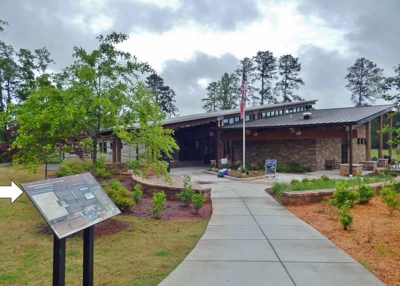
By Cosmos Mariner, May 10, 2021
Explore the Unique History of Fort Yargo Marker
RANKED BY RELEVANCE
| On Fort Yargo Road 0.2 miles east of South Broad Street (State Highway 81), on the left when traveling south. |
| On Green Street NE (Georgia Route 60) at Riverside Drive (U.S. 129), on the right when traveling north on Green Street NE. |
| On School Circle at Alabama Street, on the right when traveling north on School Circle. |
| On South Elm Street (Business U.S. 441) 0 miles east of Oak Street, on the right when traveling east. |
| On Dahlonega Highway (Georgia Route 9) at Browns Bridge Road ( Route 369), on the left when traveling north on Dahlonega Highway. |
| On County Road 90 0.1 miles east of Alabama Route 73, on the right when traveling east. |
| On Gus Barnett Road at Antioch Church Road, on the right when traveling north on Gus Barnett Road. |
| On Dacula Road 0.6 miles south of Hog Mountain Dacula Road ( Route 324), on the left when traveling south. |
| On Atlanta Highway (Georgia Route 13) at Radford Road on Atlanta Highway. |
| Near East Broad Street east of First Street, on the right when traveling east. |
| Near Georgia Route 17 north of Unicoi Turnpike, on the right when traveling west. |
| On Etheridge Road just south of Carruth Road (Johnson Mill Road), on the left when traveling south. |
| On General Daniels Avenue (U.S. 29) at Madison Street, in the median on General Daniels Avenue. |
| On Washington Street at North Avenue, on the left when traveling north on Washington Street. |
| On Gainesville Highway (Georgia Route 53) at Rockwell Church Road, on the right when traveling north on Gainesville Highway. |
| Near East Walnut Street (County Highway 202) 0.2 miles east of North Highway 123 Byway. |
| On Fort Road (State Road 69) at Bryan Street (State Road 71), on the left when traveling east on Fort Road. |
| On Hurricane Shoals Park Road 0.1 miles south of Wheeler Cemetery Road, on the right when traveling south. |
| On Randolph Street north of Lee Street ( Route 15/ 82), on the left when traveling north. |
| On U.S. 72 at Kentucky Ave. on U.S. 72. |
| On Etheridge Road 0.2 miles north of Johnson Mill Road, on the left when traveling north. |
| On Lawrenceville Street at Morton Street, on the right when traveling east on Lawrenceville Street. |
| On Lakeview Drive at Mulberry Street, on the left when traveling south on Lakeview Drive. |
| On Walnut Street (U.S. 149) at South 17th Street, on the right when traveling west on Walnut Street. |
| On County Road 186 at County Road 185 on County Road 186. |
| On John T Reid Parkway (U.S. 72) at Church Street, on the right when traveling south on John T Reid Parkway. |
| On Sycamore Street (Georgia Route 15/82) at East Public Square, on the right when traveling east on Sycamore Street. |
| Near Georgia Route 17 north of Unicoi Turnpike, on the right when traveling west. |
| Near Florida Route 2 1 mile east of Timberlake Road, on the right when traveling east. |
| On Cowan Road at Pinehurst Circle, on the left when traveling south on Cowan Road. |
| Near Streetman Road west of Ephesus Church Road, on the left when traveling west. |
Thin black lines indicate changes in relevance. Between each pair of lines entries are ordered geographically but all have the same relevance.* Inflectional forms of words are their plurals, singulars, and possessives as well as gramatical tenses and similar variations.
Nov. 12, 2026
