16 entries match your criteria.
Historical Markers in the Maine Highlands Region
By Peter Linehan, August 7, 2007
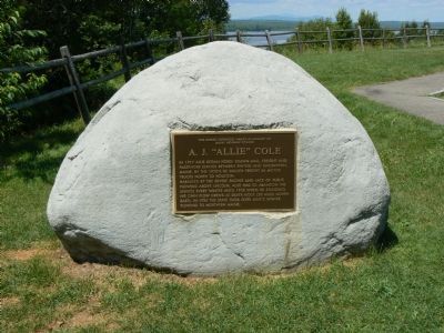
A. J. “Allie” Cole Marker
| On Millinocket Lake Road, on the right when traveling west. |
| Near Baxter Park Road (Maine Route 157), on the right when traveling north. |
| Near Baxter Park Road (Maine Route 157), on the right when traveling north. |
| On Millinocket Lake Road, on the right when traveling west. |
| On Millinocket Lake Road, on the right when traveling west. |
| On Katahdin Iron Works Road 6 miles west of Route 11, on the right when traveling west. |
| Near Lily Bay Road at Pleasant Street. |
| On Lowe's Bridge Road at Water Street (State Highway 16), on the left when traveling south on Lowe's Bridge Road. |
| Near U.S. 201 8 miles north of Donigan Road, on the left when traveling north. |
| On Father Rasle Road, on the right when traveling south. |
| On Main Street 0.4 miles west of U.S. 2, on the right when traveling west. |
| On Wire Bridge Road east of Stonewall Drive ( Route 27), on the right when traveling east. |
| On River Road at Willow Street, on the right when traveling east on River Road. |
Nov. 10, 2026
