14 entries match your criteria.
Related Historical Markers
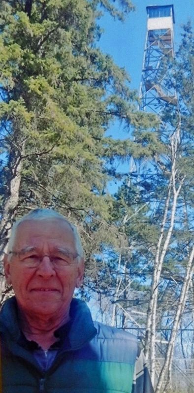
Paul M. Thiede Fire Tower Park
Marker detail: Paul M. Thiede
SHOWN IN SOURCE-SPECIFIED ORDER
| Near County Road 11, 0.3 miles east of State Highway 371, on the left when traveling east. |
| Near County Road 11, 0.3 miles east of State Highway 371, on the left when traveling east. |
| Near County Road 11, 0.3 miles east of State Highway 371, on the left when traveling east. |
| Near County Road 11, 0.3 miles east of State Highway 371, on the left when traveling east. |
| Near County Road 11, 0.3 miles east of State Highway 371, on the left when traveling east. |
| Near County Road 11, 0.3 miles east of State Highway 371, on the left when traveling east. |
| Near County Road 11, 0.3 miles east of State Highway 371, on the left when traveling east. |
| Near County Road 11, 0.3 miles east of State Highway 371, on the left when traveling east. |
| Near County Road 11, 0.3 miles east of State Highway 371, on the left when traveling east. |
| Near County Road 11, 0.3 miles east of State Highway 371, on the left when traveling east. |
| Near County Road 11, 0.3 miles east of State Highway 371, on the left when traveling east. |
| Near County Road 11, 0.3 miles east of State Highway 371, on the left when traveling east. |
| Near County Road 11, 0.3 miles east of State Highway 371, on the left when traveling east. |
| Near County Road 11, 0.3 miles east of State Highway 371, on the left when traveling east. |
Jun. 2, 2024