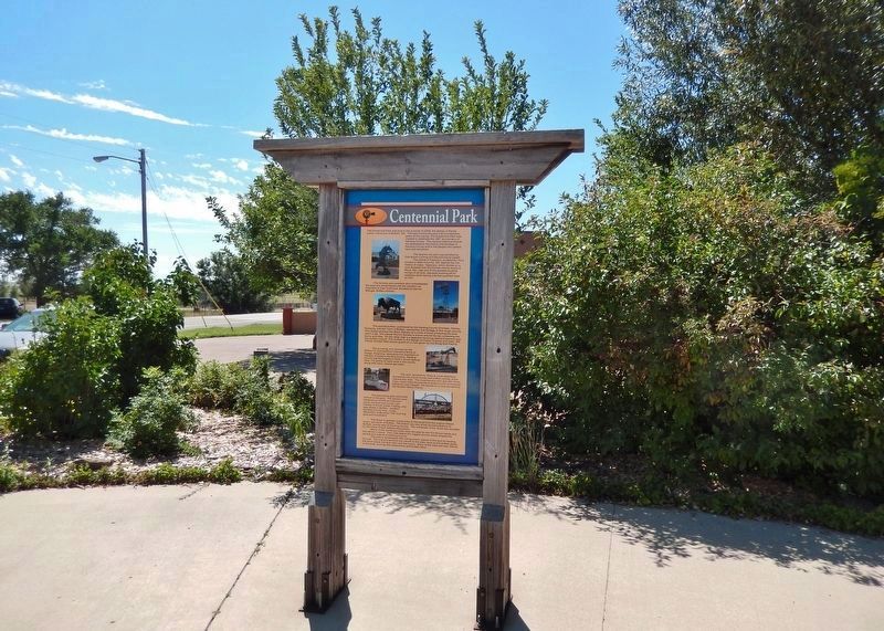
The Centennial Park was built in the summer of 2009, the design of Randy Lyons, native son of Buffalo, SD. The park honors the past one hundred plus years of this county. The Centennial Park was created to celebrate the 100 anniversary of Harding . . . — — Map (db m303995) HM
The Crow Buttes in south central Harding County, was the scene of a "bizarre" battle between the Crow and Sioux Indians in the summer of 1822. Next to buffalo hunting, warfare was the chief activity of the Plains Indians. Tribes fought with one . . . — — Map (db m303695) HM
After the battle of the Little Big Horn on June 25, 1876, General Terry and General Crook joined forces for the purpose of trying to locate and crush the Indian forces. They separated when they reached the mouth of Powder River in Montana and . . . — — Map (db m303696) HM
The American Bison, commonly referred to as “Buffalo”, once roamed this area in great herds. In peacetime, the primary task of the nomadic Plains Indians was buffalo hunting as they followed the herds south in the winter and north in the . . . — — Map (db m303906) HM
Harding County is part of the "Short Grass Country", so named because of vegetation of the area. While most grasses go dormant during the fall, losing all nutritional value until spring, short grass — or "buffalo grass" — cures on the stem, . . . — — Map (db m303871) HM
Lieutenant Colonel George A. Custer, with ten companies of the 7th and 17th Infantry, en route from Ft. Abraham Lincoln in North Dakota to the Black Hills of South Dakota, twice passed close to the present site of Buffalo. The Custer Black Hills . . . — — Map (db m303697) HM
Oil was first discovered in South Dakota in Harding County in 1953. In 2008, the state produced a record 1.7 million barrels of total crude oil from 162 wells with the large majority of South Dakota's oil being produced in Harding County. All of . . . — — Map (db m303923) HM
Wherever American people live, they take for granted their right to receive their mail and expect “Uncle Sam” to provide them with that service. The mail eventually got here when the broad prairie was welcoming the first few straggling cow . . . — — Map (db m303999) HM
Harding County, the extreme northwestern county of South Dakota, has an area of 2,682 square miles. It is almost square, being approximately 54 by 51 miles, with Buffalo being centrally located. The area is semi-arid, with an average rainfall of 14 . . . — — Map (db m303998) HM
Shortly after the Pony Congress disbanded, an important event occurred, which had a direct and significant effect on the Dakota Territory. It was the passage of the Homestead Act on May 20, 1862, which ultimately was to bring thousands of settlers . . . — — Map (db m303813) HM
Ludlow Cave and the small town of Ludlow, SD, both got their name from Maj. William Ludlow, the engineering officer who accompanied Lt. Col. George A. Custer on his 1874 expedition through the Black Hills and what is now western South Dakota. On . . . — — Map (db m303698) HM
The Medora - Deadwood Stage Line was established by the Marquis DeMores, a French millionaire who, along with his bride, Medora, came from France to New York in February of 1882. They located in Dakota Territory in April of 1883 at Medora, North . . . — — Map (db m303699) HM
Sky Ranch for Boys is located 7 miles south of Camp Crook, SD. The Little Missouri River flows past the ranch buildings, which are skirted by the Short Pines and the Long Pines. It was not always a home for boys in need. In 1949 Father Don . . . — — Map (db m303694) HM
Tex Fletcher was a singing cowboy with credits as a recording artist, Broadway and movie actor, night club performer, and radio and television personality. As a young man he lived in Buffalo, South Dakota, where he picked up some real cowboy . . . — — Map (db m303693) HM
Many people say that Harding County's two most famous characters are a horse that could not be ridden and a killer wolf that played havoc with the ranchers. Tipperary was the horse, and Old Three Toes was the wolf. Three Toes was a ruthless . . . — — Map (db m303997) HM
“That horse is the slipperiest fellow that ever caused a cowboy to pull leather. His hide actually crawls and he turns so fast that you can’t tell which end is which… Just when he is going to sunfish, he does exactly the opposite, bucking in a . . . — — Map (db m303996) HM
South Dakota became the 40th state on November 2, 1889. The counties in northwestern South Dakota changed twice with what is now Harding County originally divided into three parts. The northern part was Ewing County, the central part was Burdick . . . — — Map (db m303984) HM