In 1830 Lewis Horning, a successful settler from the Hamilton
area, located in this vicinity with his family. He cleared
80 acres of land and built a sawmill, grist-mill and frame
house, but later returned to Hamilton. With the opening of
a . . . — — Map (db m305824) HM
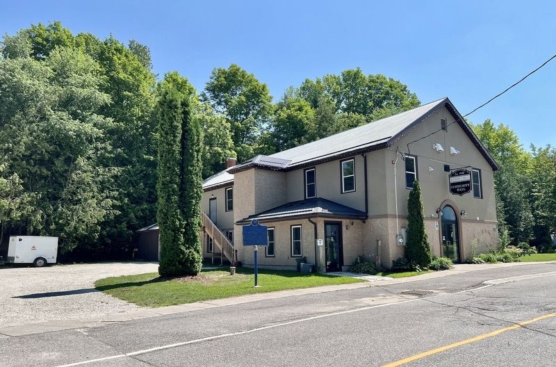
This community was originally known as Maguire’s
Corners.
Charles Maguire, a native of Ireland, settled on E1/2, Lot 20, Con. 5. Mono in the late 1840s.
Religious services were held in his home until a log church was built on this site, . . . — — Map (db m306124) HM
Originally known as Maguire's Corners, Relessey was first settled in 1840 by Charles Maguire, an Irish immigrant. He held church services in his home until a log building was built as a Weslyan Methodist Church on this corner which in turn was . . . — — Map (db m306035) HM
Two large quarries once operated in Dufferin County, supplying the material used in the walls, sills, facings, footings, curbstones, flagstones, and trim of local buildings.
In 1856, the Nottawasaga Stone Quarry began operations. It was often . . . — — Map (db m305942) HM
Construction of this Methodist church was completed in 1885 in the hamlet of Corbetton, Melancthon Township. It served as a centre of community life in Corbetton for many decades until it was relocated to this site at the Dufferin County Museum and . . . — — Map (db m305941) HM
The Wesleyan Methodist congregation of Corbetton (Melancthon Township) was organized by 1875. For about 10 years, they met in the schoolhouse, until land was purchased, and a church built in 1885.
Thanks to community donations the costs associated . . . — — Map (db m305938) HM
The County of Dufferin was created out of portions of Grey, Simcoe and Wellington counties in 1881.
The newly-formed county was named after the Lord of Dufferin (Frederick Hamilton-Temple-Blackwood), who served as the third Govenor General of . . . — — Map (db m305949) HM
Constructed using stone from the tavern level of the Stanton Hotel, which was built in 1863 by Win Hand: born 1840, Stanton, Ontario, died 1913, Sault Ste. Marie, USA.
Stanton, located two kilometres to the north, was arguably the most . . . — — Map (db m305946) HM
The windmill was introduced to Canadians in the 1865 publication, The Canadian Farmer. It reported that a new, self-adjusting windmill was exhibited at the New York State fall fair and was admirably adapted for pumping water, sawing wood, . . . — — Map (db m305959) HM
Situated on a bluff overlooking the Pine River Valley. Joseph Lennox
was the first settler to purchase crown land. By 1883, Robert Reid built a house and blacksmith shop and was appointed first postmaster.
Named for early settler Wm. Rusk. — — Map (db m305937) HM
Planned in 1901, this park was officially opened in August of 1903. It was named after Queen Alexandra, consort of King Edward VII who had succeeded his mother Queen Victoria in January of 1901.
A newspaper story of the time claimed that the . . . — — Map (db m305683) HM
Construction of this imposing brick court house was begun in the spring of 1880. Designed by C.J. Soule, a Guelph architect, it was built by the contracting firm of Dobbie and Grierson. Although the first provisional county council meeting was held . . . — — Map (db m196159) HM
In 1872, Edward F. Bowes erected the soon to be famous Red Front Store on the corner of Main and Victoria Streets, stocking it with everyday commodities including dry goods, groceries, boots and shoes, ready-made clothing, millinery, crockery, . . . — — Map (db m305822) HM
The Toronto, Grey, and Bruce Railway arrived in the village of Shelburne in 1873, at the stately speed of 15 m.p.h.
Passenger service continued until 1970. The era of rail travel came to an end when the last train left Shelburne in Dec. 1995. . . . — — Map (db m305821) HM
Settlement of Melancthon Township began in the late 1840's and coincided with the construction of the Toronto-Sydenham Road. By the 1860's settlers had moved into the Shelburne area and in 1865 William Jelly, one of the community's earliest . . . — — Map (db m305686) HM