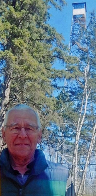
Welcome to Paul M. Thiede Fire Tower Park. The main feature of the park is the historic Pequot Fire Lookout Tower. The 100-foot tower, which is listed on the National Register of Historic Places, sits atop a tall hill, providing up to a 20-mile . . . — — Map (db m237392) HM
This picnic shelter is dedicated to Don Nelson, who served Crow Wing County, Sibley Township and the City of Pequot Lakes as a dedicated employee and volunteer. Don Nelson began his career as a logger, and operated a saw mill in Sibley Township . . . — — Map (db m237487) HM
Centuries of fire helped shape the forest we enjoy today. Scientists examining sediment cores from lakes in the Boundary Waters Canoe Area Wilderness found pollen and charcoal dating all the way back to the retreat of the glaciers. They noted that . . . — — Map (db m237396) HM
About one-third of Minnesota is covered with forest. These woodlands are incredibly diverse, with over 50 species of native trees and a wide array of plants that make up the understory and cover the forest floor. It is very important that we all . . . — — Map (db m237397) HM
For thousands of years, fire was an important component of the health of natural areas including prairies, oak savannah, wetlands and forests. Fires were started by lightning and were also set by Native Americans as a planned landscape management . . . — — Map (db m237398) HM
Though the fires noted on this panel are not considered among the most significant in the state's history, this area has experienced some harrowing and memorable wildfires. Over the years, the specialists we count on to deal with wildfires draw on . . . — — Map (db m237399) HM
Baudette-Spooner FireFire conditions in northern Minnesota were extreme in the autumn of 1910. Several small fires developed in the dry slash left in the wake of logging operations throughout Lake of the Woods County. The fires . . . — — Map (db m237400) HM
The Minnesota Department of Natural Resources Division of Forestry works with other agencies and fire departments, to provide wildfire protection for over 16 million acres of Minnesota forest. The Division of Forestry also administers burning . . . — — Map (db m237497) HM
You are standing in a young forest of aspen trees. This portion of the park was logged in 2004. That's a short time for trees to grow this tall. When they are young, aspen trees can grow as much as 3 to 4 feet in one year. It's important for the . . . — — Map (db m237495) HM
Forest Fires can be devastating, and they play a paramount role in Minnesota's history. Fires were a recurring event in the Pequot Lakes area, threatening the natural resources, structures, and the human population of the region. Throughout . . . — — Map (db m237498) HM
"Plant Some Trees, Then Plant Some More" Art Savage worked as a Forest Ranger from 1939 to 1971. He was District Forester for the Department of Conservation, the agency that later became the Minnesota Department of Natural Resources. . . . — — Map (db m237499) HM
The hillcrest where you are standing is 1,378 feet above sea level, 70 feet higher than County Road 11 at the entrance to the park. Add another 100 feet to the floor of the tower cab, and you get a commanding view of the area. This site was . . . — — Map (db m237500) HM
A 10-foot by 16-foot wooden building was built here in 1928, to house firefighting equipment. Forest Ranger Art Savage noted that in 1939 his firefighting equipment included 6 pump tanks, 6 shovels and 2 axes. He also recalled having to use his own . . . — — Map (db m237546) HM
Art Savage came to Pequot Lakes in 1939 to serve as a Forest Ranger for the Minnesota Department of Conservation, where a significant part of his duties included staffing the fire tower. Art and Beatrice Savage lived in the Spotter's Cabin from . . . — — Map (db m237560) HM