29 entries match your criteria.
Missouri’s Civil War Historical Markers
Marker series published by Missouri’s Civil War Heritage Foundation, Inc., highlighting activities across the state. Not to be confused with the series published by the Missouri Department of Natural Resources.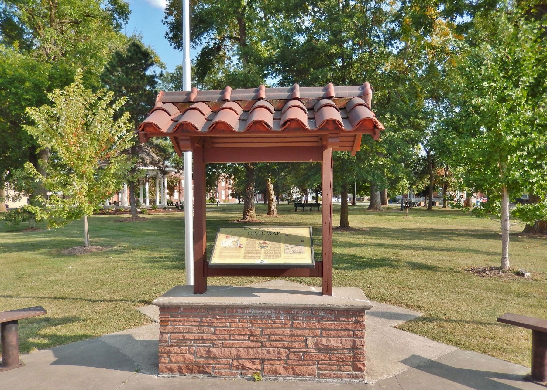
By Cosmos Mariner, September 9, 2017
Civil War Marker (wide view; showing marker, kiosk, and City Square Park in background)
| 1 ► Missouri, Boone County, Centralia — The Civil War in Centralia — Missouri's Civil War — |
| On West Singleton Street at South Allen Street, on the right when traveling east on West Singleton Street. | |||
| 2 ► Missouri, Callaway County, Calwood — Old Auxvasse Cemetery — Missouri's Civil War — |
| Near Saint Charles Road at County Route 156. | |||
| 3 ► Missouri, Callaway County, Calwood — The Battle of Moore's Mill — Missouri's Civil War — 1861-1865 — |
| On State Highway JJ, 0.6 miles south of State Highway Z, on the right when traveling north. | |||
| 4 ► Missouri, Callaway County, Calwood — The Battle of Moore's Mill — |
| On State Highway JJ, 0.6 miles south of State Highway Z, on the right when traveling north. | |||
| 5 ► Missouri, Callaway County, Fulton — Callaway County Men at War — Missouri's Civil War — |
| On 5th Street near Court Street, on the right when traveling east. | |||
| 6 ► Missouri, Callaway County, Fulton — War Comes to Westminster College — Missouri's Civil War — |
| On Westminster Avenue at 5th Street, on the left when traveling north on Westminster Avenue. | |||
| 7 ► Missouri, Callaway County, Williamsburg — Gateway to the Boone's Lick — Missouri's Civil War — |
| On Old U.S. 40 west of Missouri Route D, on the right when traveling west. | |||
| 8 ► Missouri, Cass County, Harrisonville — Burnt District Monument — The Heart of the Burnt District — Missouri's Civil War — |
| On Missouri Route 2, 0.2 miles U.S. 71, on the left when traveling west. | |||
| 9 ► Missouri, Franklin County, Pacific — The Battle of Pacific — Missouri's Civil War — 1861 - 1865 — |
| On West Walnut Street, 0.1 miles west of North 2nd Street, on the left when traveling west. | |||
| 10 ► Missouri, Franklin County, Pacific — War on the Pacific Railroad — |
| On South 1st Street north of Orleans street. | |||
| 11 ► Missouri, Franklin County, Stanton — Saltpeter Cave — Missouri's Civil War — |
| Near Highway West (State Highway W), on the right. | |||
| 12 ► Missouri, Franklin County, Union — Vitt's Mill — Missouri's Civil War — 1861-1865 — |
| On East Main Street east of East State Street, on the right when traveling west. | |||
| 13 ► Missouri, Franklin County, Washington — The Civil War Comes to Washington — |
| On West Front Street west of Elm Street, on the right when traveling west. | |||
| 14 ► Missouri, Iron County, Ironton — War In The Arcadia Valley — Missouri's Civil War — |
| On S. Main Street at W. Russell Street, on the left when traveling north on S. Main Street. | |||
| 15 ► Missouri, Montgomery County, Danville — Danville Female Academy — Missouri's Civil War — |
| On Missouri Route 161 at Boonslick Road, on the right when traveling east on State Route 161. | |||
| 16 ► Missouri, Montgomery County, Danville — The Historic Boonslick Region — Missouri's Civil War — |
| On Missouri Route 161 at Boonslick Road, on the right when traveling east on State Route 161. | |||
| 17 ► Missouri, New Madrid County, New Madrid — Bissell's Submergible Saw — |
| On Main Street at Levee Road, on the right when traveling south on Main Street. | |||
| 18 ► Missouri, New Madrid County, New Madrid — Fort Bankhead — |
| On Main Street at Levee Road, on the right when traveling south on Main Street. | |||
| 19 ► Missouri, New Madrid County, New Madrid — The Siege of New Madrid — |
| Near Blomfield Road, 0.8 miles north of U.S. 61/62, on the right when traveling north. | |||
| 20 ► Missouri, Platte County, Parkville — Attack on the Paw Paw Fort — Missouri's Civil War 1861 - 1865 — The Struggle for Platte County |
| On NW River Park Drive (Missouri Route 9) 0.1 miles east of East Street, on the right when traveling east. Reported permanently removed. | |||
| 21 ► Missouri, St. Louis, Bellefontaine Cemetery — The Civil War Laid to Rest — Missouri's Civil War — |
| Near West Florissant Avenue. | |||
| 22 ► Missouri, St. Louis, Lafayette Square — Lafayette Park and Square — Missouri's Civil War — |
| Near Madison Avenue at Whittmore Place, on the right when traveling north. | |||
| 23 ► Missouri, St. Louis, Midtown — Long Roads To Freedom — Missouri's Civil War — |
| On Olive Street at Cardinal Avenue, on the right when traveling east on Olive Street. | |||
| 24 ► Missouri, St. Louis County, Crestwood — Father Dickson Cemetery — Missouri's Civil War — |
| Near Sappington Road. | |||
| 25 ► Missouri, St. Louis County, Lemay — Jefferson Barracks National Cemetery — Missouri's Civil War 1861 - 1865 — |
| On Sheridan Road, 0.3 miles east of Telegraph Road (Missouri Route 231), on the left when traveling east. | |||
| 26 ► Missouri, St. Louis County, Lemay — Longwood — The "Hancock Place" — Missouri's Civil War — |
| On Vincent Avenue at South Broadway Street (State Road 231), on the right when traveling west on Vincent Avenue. | |||
| 27 ► Missouri, St. Louis County, Lemay — The Historic Parade Ground — Missouri's Civil War — |
| On Hancock Avenue at Center Road, on the right when traveling west on Hancock Avenue. | |||
| 28 ► Missouri, St. Louis County, Lemay — U.S. Grant: The St. Louis Years — Missouri's Civil War — |
| On Worth Road south of Hancock Avenue, on the left when traveling north. | |||
| 29 ► Missouri, Vernon County, Nevada — The Burning of Nevada — Missouri's Civil War — |
| On Main Street near Cherry Street, on the right when traveling north. | |||