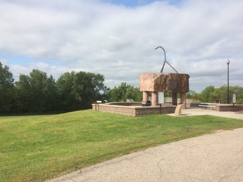
30 entries match your criteria. Minnesota: Geological Society of Minnesota Historical MarkersGeologic road markers erected throughout Minnesota by the Geological Society of Minnesota since 1949. By Ruth VanSteenwyk, August 25, 2016 Geology of Minnesota Marker GEOGRAPHIC SORTTitle SortMarker Number SortMarker Number Sort NMarker Number Sort TPublication Order Sort Publication Order Sort AErected Year SortMost Viewed SortMost Recent-Interest SortMost Recently Changed SortSEE FAQ #33 FOR DESCRIPTIONS 1 ► Minnesota, Big Stone County, Ortonville — Geology of Minnesota — Ortonville Region — 2 ► Minnesota, Carlton County, Carlton — Geology of Minnesota — Jay Cooke State Park — 3 ► Minnesota, Carlton County, Moose Lake — Geology of Minnesota — Moose Lake Region — 4 ► Minnesota, Carlton County, Wrenshall — Geology of the St. Louis River — 5 ► Minnesota, Clay County, Hawley — Geology of Minnesota — Lake Agassiz — 6 ► Minnesota, Clearwater County, Lake Itasca, Itasca Township — Geology of Minnesota — 7 ► Minnesota, Cook County, Grand Marais — Geology of Good Harbor Bay — 8 ► Minnesota, Cook County, Grand Marais — Geology of Minnesota — Grand Marais — Paid Advertisement 9 ► Minnesota, Crow Wing County, Brainerd — Geology of Minnesota — Brainerd Region — 10 ► Minnesota, Dakota County, Hastings — Geology of the Dakota County Region — 11 ► Minnesota, Goodhue County, Red Wing — Geology of Minnesota — Red Wing Region — 12 ► Minnesota, Hennepin County, Excelsior — Geology of Lake Minnetonka — 13 ► Minnesota, Hennepin County, Minneapolis, Hiawatha — Geology of Minnesota — Minnehaha Falls — 14 ► Minnesota, Hennepin County, Minneapolis, Southwest Minneapolis — Geology of Minnesota — Lake Harriet Region — 15 ► Minnesota, Kandiyohi County, Willmar — Geology of the Willmar Region — 16 ► Minnesota, Lake County, Silver Bay — Geology of the Split Rock Region — 17 ► Minnesota, Lake County, Two Harbors — Geology Complicates Bridge Foundation — Paid Advertisement 18 ► Minnesota, Lake County, Two Harbors — Geology of Minnesota — Split Rock Region — 19 ► Minnesota, Lake County, Two Harbors — Lake Superior Agate — 20 ► Minnesota, Lincoln County, Lake Benton — Geology of the Lake Benton Region — 21 ► Minnesota, Nicollet County, North Mankato — Geology of Minnesota — Mankato Region — 22 ► Minnesota, Olmsted County, Rochester — Geology of Minnesota — 23 ► Minnesota, Saint Louis County, Proctor, West Duluth — Geology of Duluth Harbor — 24 ► Minnesota, Saint Louis County, Virginia — The Laurentian Divide — 25 ► Minnesota, Sherburne County, Elk River — Geology of the Elk River Region — 26 ► Minnesota, Wabasha County, Reads Landing — WB-PEP-012 — Lake Pepin — Paid Advertisement 27 ► Minnesota, Washington County, Stillwater, Stillwater Township — Geology of Minnesota — Stillwater Region — 28 ► Minnesota, Winona County, Dakota — Great River Bluffs — 29 ► Minnesota, Winona County, Elba — Geology of Minnesota — Whitewater State Park — 30 ► Minnesota, Winona County, Minnesota City — Geology of Minnesota — Mississippi River —