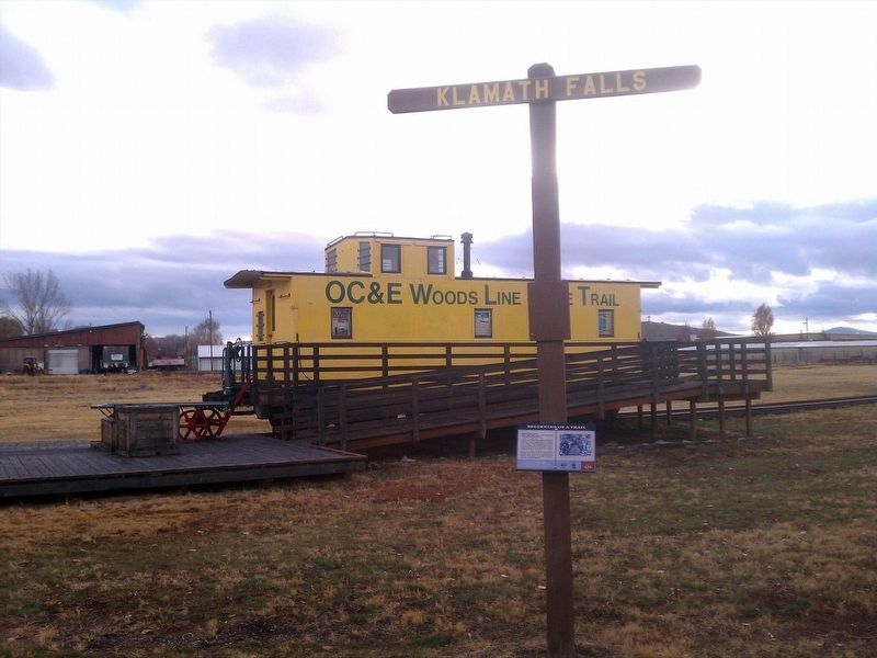
"To know the Oregon, California & Eastern Railway, one must imagine conditions in Oregon in the early 1900's." David F. Myrick, "Oregon, California & Eastern"
A century ago, the Klamath Basin held an inventory of nearly 35 billion . . . — — Map (db m112892) HM
Honorable Lindsay Applegate, son of a Revolutionary soldier with Colonial ancestry, born in Kentucky, September 18, 1808. Explorer, soldier, Trailblazer. Came to the Oregon country 1843. An Oregon Patriot, served in provisional, territorial and . . . — — Map (db m112625) HM
On Military Crossing Road (County Route 677) at Silver Lake Road (County Route 676), on the left when traveling north on Military Crossing Road.
You're standing on part of a wagon road built in the 1860s by the Oregon Central Military Road Company and the Willamette Valley and Cascade Mountain Wagon Road Company.
In the 1860s, the new state of Oregon needed better roads for commerce and . . . — — Map (db m157461) HM
On Silver Lake Road (County Route 676) near U.S. 97, on the right when traveling east.
Before the railroad came to Klamath County, sawmills were built to provide milled lumber to be used locally. Due to the lack of roads and transportation equipment, most mills were built near water so logs could be floated to the mills.
The . . . — — Map (db m157457) HM
Martin R. Frain born December 17, 1832 in New York, came west in 1850, arrived in Oregon Territory April 30, 1857 crossed Link river and camped under a ledge nearby. Established the first Trading Post at the present area of Payne Alley and Main . . . — — Map (db m100207) HM
On Klamath Avenue, on the right when traveling east.
Agriculture
The Klamath Reclamation project began in 1906 with the draining of marshlands, which had been remnants of a prehistoric lake, to supply irrigation water to farmers. The main canal, called the “A Canal,” was first . . . — — Map (db m153545) HM
The Klamath Tribes consists of three groups of people: The Klamath, Modoc, and Yahooskin Band of Snake Indians. These three groups inhabited an area approximately 22,000,000 acres in northern California and Southern Oregon. The Klamath and Modoc . . . — — Map (db m112874) HM
On North 2nd Street at North E Street on North 2nd Street.
(Two of the four interpretive panels highlight local history and other points of interest)Panel 1:
A Bit of History
Named for its vista of the once-larger Goose Lake, ten miles to the south, the high desert town of Lakeview . . . — — Map (db m147365) HM
Established for the promotion of peaceful relationships between the Indians and
the early settlers by the Oregon Volunteer Calvary in 1863. The post was abandoned
by the United States Army in 1890. Now preserved
as a
Klamath County Park
for . . . — — Map (db m100288) HM
On an un-named, rough dirt road., on the right when traveling south.
First known as Cook’s Logging Camp. "Old Blue", Klamath County’s first railroad engine brought here by horses from Klamathon, 1893. — — Map (db m152414) HM
Originally built as a milkhouse straddling willow creek, this structure was located on the Van Brimmer Ranch, west of Tulelake, California, 13 miles from the Modoc Stronghold, Lava Beds. During the Modoc Indian War of 1872-73, the cabin was . . . — — Map (db m100265) HM