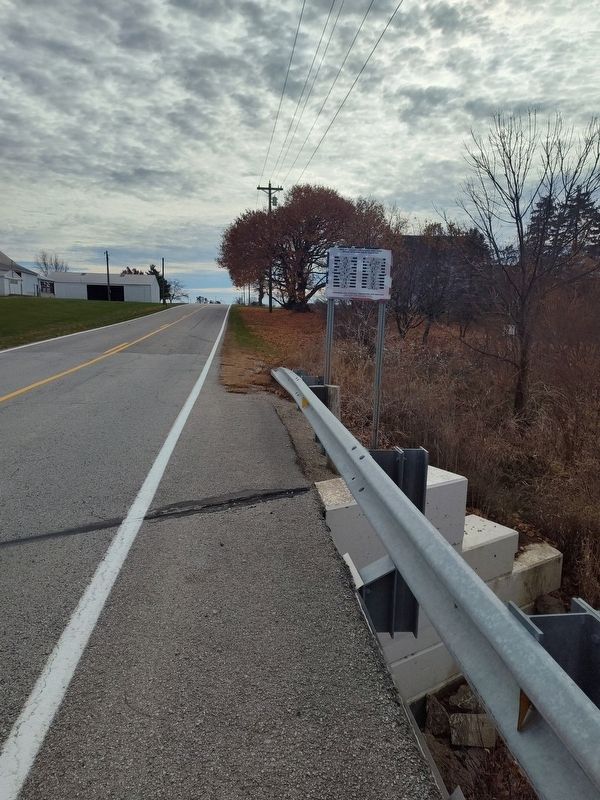
On Hardin Wapak Road (County Route 20) 0.5 miles north of Ohio Route 705, on the right when traveling south.
Dimmitt Barker - Civil War • William Bell - War Of 1812 • William A. Burrous - War Of 1812 • James Cannon - Revolutionary War • Richard M. Cannon - War Of 1812 • Ezra Carey - Revolutionary War • Zachariah Cecil - Revolutionary War • Isaac O. Cole . . . — — Map (db m260966) WM
On East Main Street, on the right when traveling west.
Joseph Backman Civil War • George Baker Civil War • Joseph Beckman Civil War • Peter Bradford Civil War • William Conway Civil War • George W. Ewing World War II • William N. Flinn War of 1812 • George Gartley War of 1812 • Francis A. Guillozet . . . — — Map (db m250994) WM
On Hardin-Wapakoneta Road (County Route 20) 0.2 miles south of Blanke Road (County Route 76), on the right when traveling south. Reported missing.
Rumley was a colored community, platted in 1837 by Joel and Wesley Goins, who purchased 400 acres of land. They were freemen from Baltimore, Maryland. The deed to the land was granted and signed by President Van Buren. Over 500 Negroes lived in this . . . — — Map (db m249990) HM
On Court Street (Ohio Route 29/47) at Main Avenue ( Route 29/47), on the left when traveling east on Court Street.
In 1819, the State of Ohio formally recognized Shelby County, named for Isaac Shelby, veteran of the American Revolution and former governor of Kentucky. The first county seat was located in Hardin, but was moved to Sidney in 1820 to centralize . . . — — Map (db m28590) HM
Side A:
Acclaimed author and illustrator of juvenile literature Lois Lenski was born in Springfield in 1893, grew up in Anna, and graduated from Sidney High School. In 1915, Lenski graduated from The Ohio State University and moved to New . . . — — Map (db m28589) HM
On Main Street (Ohio Route 119), on the left when traveling west.
John W. Carey was born in 1805 in West Virginia [sic - Virginia] and came to Shelby County with his parents, Cephas and Jane Williamson Carey. Around 1833, J.W. Carey bought a thousand acres in Dinsmore Township, west of the present railroad in . . . — — Map (db m29873) HM
On East Main Street (County Road 13) just west of School Street, on the right when traveling west.
Saint Remy Catholic Church. In 1839, Bishop John Baptist Purcell recruited European priests to minister to his Ohio flock. Father Louis Navarron, a young French missionary, was appointed to the French Catholic population of Darke and Shelby . . . — — Map (db m245868) HM
On West Main Street west of South 1st Avenue, on the right when traveling east.
Oldham was the 75th county created by the Kentucky Legislature. It was formed on January 15, 1824, from portions of Jefferson, Henry and Shelby Counties. The county is named for William Oldham, Revolutionary War patriot and early pioneer.
. . . — — Map (db m136163) HM
On West 4th Street west of North Frankfurt Street, on the right when traveling west.
Once this land we now call Minster was all a virgin forest with many swamps where Indians and traders traveled on the wilderness trail. After the Treaty of Greenville was signed in 1795 and the Indians left, this land became known as U. S. . . . — — Map (db m238601) HM
On Sidney-Wapakoneta Road (County Route 25A), on the right when traveling south.
Honoring Our Veterans, Preserving Our Heritage
County-Wide Bridge Dedication Project Shelby County, Ohio, Bicentennial 1819-2019
Charles Beers Civil War • James R. Blakely Civil War • John E. Blakely Civil War • Oliver P. Bogart Civil War • . . . — — Map (db m250907) WM
On West Main Street at Water Street, on the right when traveling south on West Main Street.
On September 26, 1748, Pierre-Louis-de Lorimier was born in Lachine in Montreal, Canada. In 1769, Pierre Lorimier moved to the Ohio Country as a French-Canadian trader. He established a trading post that became known as "The Frenchman's Store" or . . . — — Map (db m309391) HM
On Ohio Avenue at Main Avenue, on the left when traveling south on Ohio Avenue.
Zum Andenken der Deutsch
Amerikanishe Freiwilligen
Schultz's Battery
Civil War 1861 - 1865
Battery M, First Ohio
Volunteer Light Artillery
Sidney, Shelby County, Ohio.
Erected in 1938 by
George Hemm Jr.
in memory of . . . — — Map (db m29779) HM
This sculpture celebrates [Agriculture/Civic Life/Education/Industry] in Sidney and Shelby County at the turn of the Millenium. [These] four pieces representing important aspects of local life, [were] donated by the Sidney/Shelby Public Art . . . — — Map (db m29766) HM
On 5th Street at Cedar Street, on the right when traveling north on 5th Street.
Thomas Corwin Honnell
1840 - 1919
1840 - Born in Shelby County, Ohio
1857 - Teacher in Ohio Schools
1861 - Captain in the Union Army
Injured at Chic[k]amauga
Shook President Lincoln's Hand
1870 - Bought a 160 Acre Farm Two . . . — — Map (db m77905) HM
On Zimmerlin Road at McFarland Road, on the right when traveling east on Zimmerlin Road.
Side A: Randolph Settlement
In 1833, John Randolph from Roanoke, Virginia, died leaving three wills that requested that all of his slaves be set free and that land be purchased for them. Although contested for thirteen years by his family, . . . — — Map (db m111980) HM
On West Main Street at Water Street, on the right when traveling south on West Main Street.
Pierre Lorimier died in 1812, several years after Charlotte's passing in 1808. After his wife had passed, Lorimier dedicated a piece of land as a cemetery, and had his wife the first to be buried in it. When he passed, he was buried alongside her . . . — — Map (db m309394) HM
On West Main Street at Water Street, on the right when traveling south on West Main Street.
The Frenchman’s Store served as a crucial hub for trade between Native American tribes and European settlers, especially for the fur trade. However, in 1782, during rising tensions in the region, General George Rogers Clark ordered a hundred . . . — — Map (db m309392) HM
On Ohio Route 47 at Hardin-Wapakoneta Road on Ohio Route 47.
Named for Col. John Hardin
Killed by the Indians here in 1792.
Platted 1816. County Seat
Of Shelby County 1819.
Shawnees camped here Oct. 1832
Last trek from Ohio. — — Map (db m33081) HM
On Washington Street (U.S. 60) at Jail Hill Road, on the right when traveling west on Washington Street.
In the early morning of January 15, 1911, a White mob abducted three Black men named Eugene Marshall, Wade Patterson, and Jim West from the Shelby County Jail. Although reports indicate that police were aware of the threat of mob violence, law . . . — — Map (db m175130) HM
The first airport in Shelby County and one of the earliest in Ohio was opened July, 1908, by the Korn brothers, Edward and Milton. Here they built their second plane in their father's barn and successfully flew this plane on July 2, 1911. The barn . . . — — Map (db m80301) HM
On Treaty Line Road at Hoover-Moffitt Road, on the right when traveling east on Treaty Line Road.
[Front Side of Marker]: "Greeneville Treaty Line"
The Treaty of Greeneville created the Greeneville Treaty Line. It was the boundary between lands in the original possession of the Indians and those they ceded to the United States, . . . — — Map (db m43895) HM
On Main Street (U.S. 60) east of 5th Street, on the left when traveling east.
Lewis and Clark in Kentucky 1806 Return of Expedition
Meriwether Lewis & William Clark, leaders of the 1803-06 journey to the Pacific, visited Shelbyville several times. In Nov. 1806, on the Expedition's return, Lewis arrived with . . . — — Map (db m269257) HM
On Frankfort Road (U.S. 60) at Graefenburg Road (State Route 1472), on the right when traveling east on Frankfort Road.
Lewis and Clark in Kentucky
William Clark, coleader of the famous Lewis and Clark Expedition to the Pacific, spent the night of October 28, 1809, at John Shannon's Tavern near present Graefenburg. That day he read that Lewis, his . . . — — Map (db m136897) HM
Near North Center Street just south of East Mulberry Street, on the right when traveling north.
In July of 1866, Collierville, like much of the South, was beginning to recover from the ravages of war. Three years earlier, "Mister Collier's Village" consisting of several homes and a general store a few hundred yards east of the square on Mt. . . . — — Map (db m149075) HM
On West Washington Street at North Capitol Street on West Washington Street.
Vice President of the United States
with Democrat President Grover Cleveland, 1885
Born September 7, 1819, near Zanesville, Ohio
Died November 25, 1885, Indianapolis, buried at Crown Hill Cemetery
Represented Shelby County: . . . — — Map (db m100033) HM
On West State Street at Oak Street on West State Street.
Shelby House has been placed on the National Register of Historic Places in 1979 by the United States Department of the Interior.
This building served as the railroad station hotel for villages in Shelby
and Auglaize counties until 1900. . . . — — Map (db m229127) HM
On Houston Road (County Road 25) at Hardin Wapak Rd (County Road 20), on the right when traveling east on Houston Road.
Honoring Our Veterans, Preserving Our Heritage
County Wide Bridge Dedication Project
Shelby County, Ohio, Bicentennial 1819 - 2019
Henry Baker Civil War •
John P. Born Civil War •
David Bowsley . . . — — Map (db m246035) WM
On Chester Street north of Walker Street, on the left when traveling north.
The land currently known as Arlington originally belonged to the Chickasaw Indians. In 1818, a Treaty with the Chickasaw ceded this land, along with other land in West Tennessee, to the United States. On November 24, 1819, Shelby County was . . . — — Map (db m179116) HM
On North Main Street at East Poplar Avenue (Tennessee Route 57), on the right when traveling north on North Main Street.
The Original Town Site of Collierville/Colliersville
In this area and to the east, lies the original town site of Collierville. The lands that were destined to become Collierville traveled through many periods of history before a village . . . — — Map (db m149071) HM
On Main Street (U.S. 60) at Fifth Street, on the left when traveling east on Main Street.
Shelby County
Courthouse
Has been placed on the
National Register
of Historic Places
By the United States
Department of the Interior
1978 — — Map (db m269208) HM
Thin black lines indicate changes in relevance. Between each pair of lines entries are ordered geographically but all have the same relevance.
* Inflectional forms of words are their plurals, singulars, and possessives as well as gramatical tenses and similar variations.