20 entries match your criteria.
Related Historical Markers
Battle of Trevilian Station Virtual Tour by Markers.
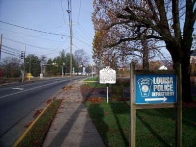
By Bernard Fisher, November 15, 2009
East Main Street (US-33 W)
SHOWN IN SOURCE-SPECIFIED ORDER
| On East Main Street (U.S. 33) 0.1 miles west of Lyde Avenue, on the right when traveling west. |
| On Courthouse Square at East Main Street, on the left when traveling west on Courthouse Square. |
| On West Main Street (U.S. 33) just north of Courthouse Square, on the left when traveling north. |
| On West Main Street (U.S. 33) at Elm Avenue, on the left when traveling west on West Main Street. |
| On Ellisville Drive (County Route 669), on the left when traveling north. |
| On Ellisville Drive (County Route 669) at Oakland Road (County Route 613), on the right when traveling north on Ellisville Drive. |
| On Oakland Road (County Route 613), on the right when traveling north. |
| On Oakland Road (County Route 613), on the right when traveling north. |
| On Oakland Road (County Route 613) 0.3 miles east of Louisa Road (U.S. 33), on the right when traveling north. |
| On Louisa Road (U.S. 33) at Danne Road (County Route 682), on the right when traveling west on Louisa Road. |
| On Louisa Road (U.S. 33) at Danne Road (County Route 682), on the right when traveling west on Louisa Road. |
| On Louisa Road (U.S. 33) at Danne Road (Route 682), on the right when traveling west on Louisa Road. Reported missing. |
| On Danne Road 0.1 miles north of Louisa Road (U.S. 33), on the left when traveling north. |
| On South Spotswood Trail (U.S. 33) 1.4 miles north of Louisa Road (Virginia Route 22), on the right when traveling west. |
| On Spotswood Trail (U.S. 33) at Dunkum Store Road (County Route 636), on the right when traveling west on Spotswood Trail. |
| On Louisa Road (U.S. 33) at Trevilians Square, on the right when traveling east on Louisa Road. |
| On Louisa Road (U.S. 33) at Trevilians Square, on the right when traveling east on Louisa Road. |
| On West Street (County Route 666) at Purcell Drive, on the left when traveling west on West Street. |
| On West Street (County Route 666) at Purcell Drive, on the left when traveling west on West Street. |
| On West Street 0.1 miles east of West Main Street (U.S. 33), on the right when traveling east. |
Nov. 11, 2026
