By Cosmos Mariner, May 11, 2024
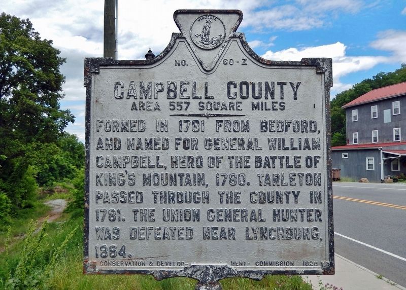
Pittsylvania County / Campbell County Marker
(south side)
RANKED BY RELEVANCE
| On Main Street (Business U.S. 29) 0.2 miles north of West Hurt Road (County Road 924), on the left when traveling north. |
| On Sutherlin Avenue south of Main Street (Virginia Route 293), on the left when traveling north. |
| Near Court Place at Whittle Street, on the right when traveling south. |
| On South Main Street (Business U.S. 29) at Franklin Place, on the right when traveling south on South Main Street. |
| On North Broad Street (Virginia Route 62) at River Bend Road ( Route 1527), on the left when traveling west on North Broad Street. |
| On US 220, on the right when traveling north. |
| On Main Street (Business U.S. 21) at Court Place, on the right when traveling north on Main Street. |
| On River Park Drive 0.5 miles west of Danville Expressway (U.S. 29), on the left when traveling west. |
| Near Letcher Lane (Virginia Route 749) 0.5 miles west of Ararat Highway ( Route 773), on the left when traveling west. |
| On Virginia Route 26 at County Route 677, on the right when traveling south on Virginia Route 26. |
| Near Letcher Lane (Virginia Route 749) at Ararat Highway ( Route 773), on the left when traveling west. |
| On U.S. 29 0.4 miles north of Main Street (Business U.S. 29), on the right when traveling south. |
| On South Main Street (Business U.S. 220) near Old Furnace Road, on the right when traveling south. |
| Near Avoca Lane west of Main Street (Business U.S. 29), on the right when traveling west. |
| On Pleasant Shade Drive (U.S. 58) west of Carter Road ( Route 649), on the right when traveling west. |
| On Sago Road 0.5 miles north of Callands Road ( Route 57), on the right when traveling north. |
| On Main Street (Business U.S. 29) at Church Lane (County Road 1405), on the left when traveling north on Main Street. |
| Near South Main Street at Pruden Street, on the left when traveling north. |
| On Vaden Drive (Virginia Route 40) 0.1 miles west of Fitzgerald Street, on the right when traveling west. |
| On U.S. 29 0.2 miles south of Tight Squeeze Road, on the right when traveling north. |
| On West Main Street (Virginia Route 293) south of Blackwell Drive, on the right when traveling south. |
| On Koger Mill Road at Abram Penn Highway ( Route 626), on the left when traveling west on Koger Mill Road. |
| On Depot Street at South Main Street, on the right when traveling west on Depot Street. |
| On South Main Street at Pruden Street, on the left when traveling north on South Main Street. |
| On Ford Road (County Route 908) 1.7 miles north of Yorkshire Road (County Route 777), on the right when traveling west. |
| Near Ararat Highway (Virginia Route 773). |
| On Main Street, on the left when traveling south. |
| On Ringgold Depot Road at Ringgold Church Road, on the left when traveling west on Ringgold Depot Road. |
| On Kerns Church Road 0.1 miles south of Kerns Mill Road, on the left when traveling north. Reported damaged. |
| On 1st Avenue North 0.1 miles north of Broadway (U.S. 70), on the right when traveling north. |
| Near Craghead Street east of Bridge Street, on the left when traveling east. |
| Near Court Place at Whittle Street. Reported unreadable. |
| On Whitmell School Road (County Route 750) at Sunset Drive (County Route 703), on the left when traveling south on Whitmell School Road. |
Thin black lines indicate changes in relevance. Between each pair of lines entries are ordered geographically but all have the same relevance.* Inflectional forms of words are their plurals, singulars, and possessives as well as gramatical tenses and similar variations.
Nov. 13, 2026
