By Craig Doda, June 2, 2022
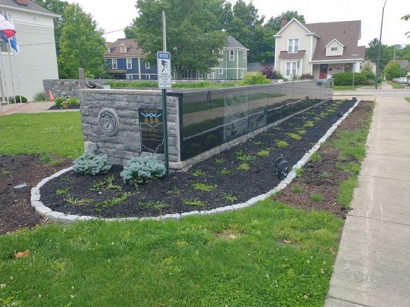
Medal Of Honor Recipents Marker
RANKED BY RELEVANCE
| On North High Street at East Warren Street (U.S. 42), on the left when traveling north on North High Street. |
| On Tylersville Road (Ohio Route 126) 0.2 miles west of Reading Road (U.S. 42), on the right when traveling west. |
| On Ohio Route 48 at Lower Springboro Road (County Road 22), on the right when traveling south on Ohio Route 48. |
| On Section Street north of East McKinley Street, on the left when traveling north. |
| On Davis Road, on the right when traveling south. |
| On South Main Street (Ohio Route 741) south of East Factory Road, on the left when traveling south. |
| On Crescent Park west of Hickory Bridge, on the right when traveling west. |
| On Tuscarawas Street Northwest south of Cherry Street West ( Route 93), on the right when traveling east. |
| On River Street at 5th Street, on the right when traveling south on River Street. |
| On Old Cherry Road (State Highway 149) near Camp Road (State Highway 4-56), on the left when traveling west. |
| On North 22nd Street 0.1 miles north of East Main Street (U.S. 84), on the right when traveling north. |
| On New Street at North Cherry Street, on the right when traveling west on New Street. |
| On 4th Avenue at Market Street (U.S. 62), on the right when traveling east on 4th Avenue. |
| On River Lane 0.1 miles east of Water Street, on the right when traveling east. |
| On Wright Avenue at East Agency Street, in the median on Wright Avenue. |
| On Findlay Street at Baymiller Street, on the right when traveling east on Findlay Street. |
| On King Avenue, on the right when traveling west. |
| On West Main Street (Ohio Route 63/123) east of South Corwin Street, on the left when traveling east. |
| On North High Street at East Pike Street, on the right when traveling south on North High Street. |
| On Squaw Valley Footpath. |
| On Osborn Prairie Road west of County Road N70W, on the left when traveling west. |
| On Cliff Road, on the right when traveling north. |
| On Park Drive 0.1 miles north of Hillcrest Avenue, on the right when traveling north. |
| On South Broadway Street (U.S. 42) at West Main Street ( Route 48/63), on the left when traveling north on South Broadway Street. |
| Near Little Miami Scenic Trail. |
| On South Main (Ohio Route 48) near Railroad Street, on the right when traveling north. |
| On River Street at 5th Street, on the right when traveling south on River Street. |
| On E. Silver Street, on the left when traveling east. |
| On Broadway Street at South High Street, on the right when traveling east on Broadway Street. |
| On South Main Street (Pennsylvania Route 666) north of Horton Avenue, on the right when traveling north. |
| On West Court Square at East Main Street (Tennessee Route 380), on the left when traveling south on West Court Square. |
| On the Bloomington Rail Trail north of W. Church Lane, on the right when traveling north. |
| Near Horseshoe Bend Road. |
| On N. Broadway Street, on the right when traveling north. |
| On Breeze Point Circle west of Liberty Street, on the right when traveling east. |
Thin black lines indicate changes in relevance. Between each pair of lines entries are ordered geographically but all have the same relevance.* Inflectional forms of words are their plurals, singulars, and possessives as well as gramatical tenses and similar variations.
Nov. 12, 2026
