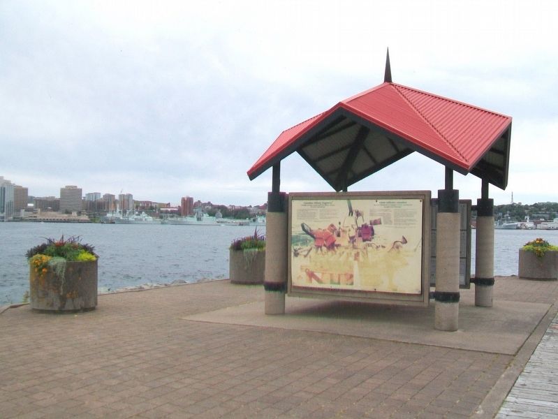
In 2000, to commemorate a century of service, Canadian Military Engineers embarked on a three-year program of assisting communities along the Trans Canada Trail to construct and restore bridges. Thirty of these bridges are shown here.
For the . . . — — Map (db m113207) HM
Lake Micmac was smaller
Lake Micmac was considerably smaller before the Canal was begun. Evidence for this can be found in the cove to the west where the remains of a forest and marsh area can be seen under the surface of the Lake. To the . . . — — Map (db m78081) HM
Man-made Bank
You are now walking on a man made bank which forms one side of the canal cut. This wall of earth and stone was necessary to contain the depth of water needed to float the barges. During the first phase of the canal . . . — — Map (db m78100) HM
Canal Camp
You are looking at a part of the remains of what was known as the “Canal Camp.” The row of stones in this area represent the largest feature found to day at Port Wallace. An archeological investigation was carried out . . . — — Map (db m77987) HM
Lock 2
You are now looking at the upper sill of Lock 2. The chambers of the first five Locks on the Canal are approximately 21 meters long and 5.5 meters wide.
Therefore the boats and barges used on the system had to be able to fit . . . — — Map (db m78083) HM
Cutting the Canal
You are now standing about one third of the way between Lake Micmac to the South (left) and Lake Charles to the North (right). Before canal construction began in 1826 there was no flow of water between these two lakes. The . . . — — Map (db m77986) HM
Benching
As you look down the Cut you will see, on the left or East bank, stone walls separated by narrow, flat terraces. This construction technique was used by the canal workers to prevent the earth from sliding down the bank. It was . . . — — Map (db m78117) HM
Hard Digging!
From this location you can begin to appreciate the enormous task which faced the canal workers. Prior to 1826 this canal cut or trench did not exist and all of the earth and rock had to be removed. Unlike the lower part of the . . . — — Map (db m78105) HM
At the point you are approximately 26 meters above sea level, almost at the height of Lake Charles from which the water flows in two directions - south to the Harbour and north to the Bay of Fundy. To get to this point vessels would have traveled . . . — — Map (db m78147) HM
Vessels entering Lock two, traveling northward, were approximately 19 meters above the level of the Harbour. This lock would raise them another three or four meters enabling them the make their way along the canal to Lock three. This present lock . . . — — Map (db m78148) HM
In August 1750, the 504 ton ship Alderney arrived after a month's sail from England with 353 settlers, who made their first landing near the sawmill site. They laid out 184 building lots, 50 feet by 100, and named the settlement after the . . . — — Map (db m113104) HM
Navvies
The most concentrated number of features belonging to the Canal Camp are located in this area beneath the trees and along the roadway. You can still make out the remains of several stone foundations. A plan of this area prepared in . . . — — Map (db m77988) HM
A Dwelling for Two Families
Imagine this structure on top of the stone foundation in front of you. This home would be similar to the one at Site No. 9. However this structure is larger and contains two small stone hearths. When excavated in . . . — — Map (db m78104) HM
Dwelling Cabin
This feature represents an example of cultural transfer by emigrants to Canada from their homeland. This dwelling cabin strongly resembles the description of the cabins of the working poor in Northern Scotland and Ireland, as . . . — — Map (db m78101) HM
Location of prominent historical characters at the ground breaking ceremony
General location of the official ground breaking ceremony, July 25th, 1826. Looking south from the walking bridge you are viewing the general location of the . . . — — Map (db m78078) HM
Possibly a Storage Building for Powder
This is the only example of this style of structure found anywhere along the canal. While the Archaeologists are uncertain about its use, it may have been a storage area for black powder used to blast the . . . — — Map (db m78106) HM
From 1826 to 1831, canal labourers constructed two locks and the “deep cut” between Lake Charles and Lake Micmac. During these years, upwards of 250 workers and their families lived here. The locks were rebuilt and operated between 1858 . . . — — Map (db m77956) HM
This is the starboard propeller of the Canadian coastguard [sic - Coast Guard] Icebreaker, John A. MacDonald [sic - Macdonald]. The propeller was damaged while the John A. MacDonald was assisting the 115,000 ton oil tanker, SS Manhattan, in her . . . — — Map (db m113082) HM
Sullivan’s Pond was a vital feature of the historic Shubenacadie Canal, the traditional water route of Mi’kmaq Indians connecting the harbour at Dartmouth with Minas Pasin and the Bay of Fundy. When the Canal operated, from 1861 to 1870, water . . . — — Map (db m108732) HM
Highest point of the Canal
Ahead you will see Lake Charles which is the highest body of water in the Canal system. From this lake, water flows south to the Halifax Harbour and north to the Bay of Fundy. You are now approx. 29 meters (95 feet) . . . — — Map (db m78115) HM
Lock 3
When first built this lock was made entirely of granite blocks, as represented by the end walls. Like the other structures of the Canal, this lock fell into disrepair between 1831 and 1854. It was completely rebuilt by Charles Fairbanks . . . — — Map (db m77985) HM
The Blacksmith’s Shop
Excavated by Dr. Davis in 1985, this forge operated during both the first construction period (1820s) and the second (1850s). It was here that workers and masons would have their tools repaired and stone picks . . . — — Map (db m77982) HM
This totem pole, carved by three Kwakiutl Indian carvers from a log of western red cedar, is a gift to the 1969 Canada Games Society on the occasion of the first Canadian Summer Games, held in the twin cities of Halifax and Dartmouth, Nova . . . — — Map (db m108731) HM
Lock 2
Looking north from the walking bridge you see Lock 2. This lock was the first to be constructed on the Canal. Initially the lock was built totally of granite blocks (British construction method), as seen on the east wall. After the . . . — — Map (db m78077) HM
An avid walker, trail enthusiast, leader, mentor and diligent worker, Vera B. Stone defines the Trans Canada Trail movement in Nova Scotia. As a founding member and a longstanding Chair for the Trans Canada Trail Committee of the Nova Scotia . . . — — Map (db m113189) HM
A water control structure
The man-made holding pond in front of you helped to maintain the level of the canal when the lock was in operation. The water in this holding pond had two purposes. It helped maintain the water level in the dry . . . — — Map (db m78102) HM
Wild roses add beauty and colour to roadsides, open woods, prairies, and rocky places all across Canada. They may have pink or white flowers, be with or without thorns, and stand as high as 2.5 metres. Wild roses are considered a weed in many . . . — — Map (db m113194) HM