Near Thames Street north of John Street, on the left when traveling north.
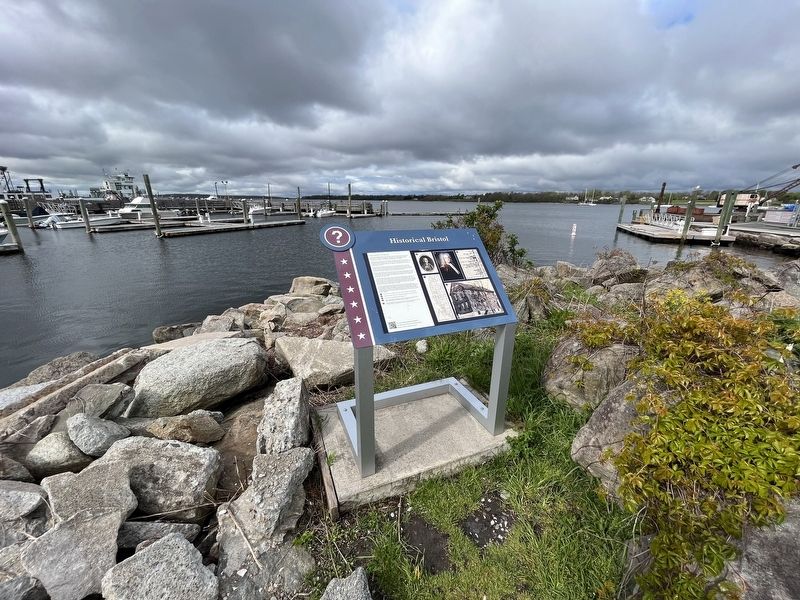
In 1675, after King Philip's War, the lands known as Mount Hope were ceded to Plymouth Colony. Plymouth sold the area that became the Town of Bristol and its deep water harbor to four proprietors, who laid out streets relative to the waterfront. . . . — — Map (db m222772) HM
On Water Street south of State Street, on the right when traveling south.
Rhode Island was the center of the American transatlantic slave trade, accounting for the majority of American slave voyages from 1700 until 1808.
More than 110,000 Africans were forcibly taken from their homeland on Rhode Island ships and . . . — — Map (db m150887) HM
General James Mitchell Varnum Brigadier General of the Continental Army was instrumental in creating the Rhode Island Black Regiment which provided the first genuine route to freedom for Afro-American people in Rhode Island — — Map (db m58174) HM
On Marlborough Street at Long Street, on the left when traveling south on Marlborough Street.
Built in 1872 by William Northup on the former site of Scalloptown. This chapel was the first fully integrated congregation in East Greenwich. — — Map (db m58389) HM
On Bowens Wharf west of America's Cup Avenue (Rhode Island Route 138A), on the right when traveling west.
18th century, Newport was a major hub for the northern 'triangle slave trade'. Enslaved Africans, traded for rum, arrived and departed from Bowen's Wharf, in sailing ships and labored as dock workers, shipbuilders, sailors, caulkers, sailmakers, . . . — — Map (db m223202) HM
On Spring Street at John Street, on the right when traveling south on Spring Street.
Charles Handy, Sr., owned land between Pelham and Bowery Streets that once belonged to Abraham Redwood. Handy died in 1793, leaving the estate to his sons Thomas, Levin, John, and William. About 1800 they sub-divided the land and laid out . . . — — Map (db m223179) HM
On West Main Road (Rhode Island Route 114) at Anselmo Drive, on the right when traveling south on West Main Road.
During the American Revolution the British strategy focused on controlling American ports and blockading the coast. Because of Newport’s significance as a deep-water port and as a center of trade, British forces landed in Newport in December of . . . — — Map (db m48348) HM
On W Main Road (Rhode Island Route 114), on the left when traveling north.
The 1st Rhode Island Regiment of the Continental Line 1775 – 1783 The war for American Independence was a long and arduous struggle that demanded much of the American people. Rhode Island responded to those demands with patriotic fervor, . . . — — Map (db m48374) HM
Near Meeting Street just west of Thayer Street, on the left.
Former site of the Bethel A.M.E. Church 1866-1961
Beginning as a free mission in 1795, members met in the African Meeting House before purchasing this lot in 1820. The services were held in the homes of the members for over 40 years. In 1866, . . . — — Map (db m30314) HM
This memorial recognizes Brown University’s connection to the trans-Atlantic slave trade and the work of Africans and African-Americans, enslaved and free, who helped build our university, Rhode island, and the nation.
In 2003 Brown . . . — — Map (db m107414) HM
Members of the Afro-American community met in the vestry of this historic church in 1819 to establish the 1st African Meeting House in Rhode Island. — — Map (db m57750) HM
On Powers Street, on the left when traveling east.
The home of John Brown Reflecting the wealth and position gained from his lucrative career as a slave trader, privateer, China trade merchant and Patriot. — — Map (db m56014) HM
On Main Street (U.S. 44) at Hopkins Street, on the right when traveling south on Main Street.
A turning point in the American Revolution came in February 1780, when the King of France approved a plan to send an army to help the Americans. A French fleet carrying thousands of soldiers arrived five months later in Newport, where they spent . . . — — Map (db m189624) HM
On Wheaton Street at Pratt Street, on the right when traveling west on Wheaton Street.
Matilda Sissieretta Joyner Jones, the internationally celebrated soprano known as "Black Patti" lived near this site at 7 Wheaton Street until her passing on June 24, 1933.
With 17 medals and a diamond tiara bestowed upon her, she was the highest . . . — — Map (db m56160) HM
On Meeting Street, on the left when traveling east.
This building was erected in 1769 as a public school house by the town and proprietors.
Occupied by Brown University in 1770.
One of the four first free public school buildings in 1800.
Occupied by a school for colored children for . . . — — Map (db m56049) HM
On North Main Street (U.S. 44) at North Main Street, on the right when traveling east on North Main Street.
If this building could speak, it would tell the remarkable tale of a city’s transformation.
The Antram-Gray House, the oldest surviving commercial building in Providence, was built around 1730 as a residence and distillery.
It soon found . . . — — Map (db m107736) HM
On Washington Street just east of Snow Street, on the right when traveling east.
In 1959, Annye came to Providence from Montgomery, Alabama. She'd answered an advertisement in the newspaper, placed by an East Side widower who was looking for a live-in caretaker for his children.
On this spring evening, ready to have her . . . — — Map (db m151645) HM
On Kennedy Plaza at Dorrance Street on Kennedy Plaza.
This monument commemorates the members of the 1st Rhode Island Regiment and the 14th Rhode Island Regiment Heavy Artillery (Colored) who fought and died in the War of the Rebellion — — Map (db m222297) HM WM
On South Water Street, on the right when traveling south.
The site of an 18th century seaport village where seafaring merchants participated in the African slave trade. In the 20th century this port was used by Cape Verdeans who came to live in America. — — Map (db m233864) HM
On Weybosset Street at Abbott Park place, on the right when traveling north on Weybosset Street.
On this site Providence R.I. July 5th 1999 in conjunction with the 22nd general Synod of the United Church of Christ a group of church and community people gathered in an act of repentance for African American slavery and in celebration of human . . . — — Map (db m56283) HM
Cape Verdean Immigration to Rhode Island
The Cape Verdean community in Fox Point originated from the Cape Verde Islands, a tiny archipelago lying 240 nautical miles off the coast of West Africa. Uninhabited prior to discovery by the Portuguese . . . — — Map (db m75995) HM
On Eddy Street at Mutual Street, on the right when traveling south on Eddy Street.
PHA
Dedicated To Our Founder
Prince Hall
First Grand Master
Free and Accepted Masons
Patriot Soldier Teacher
Sept. 1748 - Dec. 1807 — — Map (db m57580) HM
On Eddy Street, on the right when traveling south.
Hiram Lodge No.3 of the Prince Hall Masons was founded in 1797. It is the second oldest lodge in Masonic history. The Masonic order has played an invaluable role in the development of Afro-American moral values. Social skills and leadership . . . — — Map (db m57579) HM
On Chester Avenue at Mt. Vernon Street, on the left when traveling east on Chester Avenue.
This historic congregation was a leader in the anti-slavery movement. Emancipation day celebration and served as a station on the Underground Railroad — — Map (db m57753) HM
On Parade Street south of Oak Street, on the left when traveling south.
The 14th Regiment
In the summer of 1863, nearly 1,800 African-American recruits from Rhode Island and around the country set up "Camp Fremont" on the Dexter Training Ground, serving the nucleus of the Fourteenth Rhode Island Heavy . . . — — Map (db m223067) HM