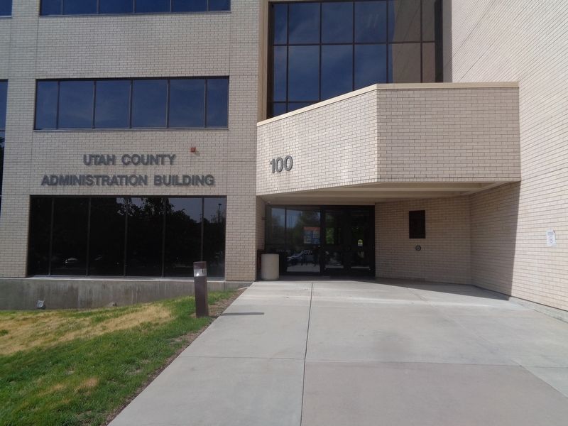
On January 4, 1896, the territory of Utah won its long struggle to become the 45th state of the United States of America. In 1996, in honor of the centennial of that event, each county throughout Utah celebrated with tributes, prayers, publications, . . . — — Map (db m223827) HM
Since the late 1850s, the communities of Utah County had held their own local fairs where local products and animals were displayed, but no joint county fair had ever been held.
That changed in 1897 when newspapers announced that Provo would . . . — — Map (db m223691) HM
The Provo City and County Building, now called the Historic Utah County Courthouse, was built between 1920-1926. Joseph Nelson, the architect, traveled with a committee to the West Coast to gather ideas from other administration buildings, prepared . . . — — Map (db m149096) HM
In 1851, Jacob Houtz, James Porter, and Edward Hall built and operated a flour mill near here. Norton Jacobs, the first miller, made and installed the machinery.
in 1860, Jacob Houtz and William Bringhurst built a woolen mill one third mile . . . — — Map (db m148672) HM
This exceedingly rare Ulmus Americana tree (also known as White Elm or a Weeping American Elm) was planted in 1927 by Moroni Wilford (Roni) Christopherson of Spanish Fork, Utah. Roni was an employee of Utah County for twenty-seven years. . . . — — Map (db m223783) HM
Indian Ford, just north of here, was long used by Indians, pioneers, and early explorers to cross the Jordan River. Crossing was relatively easy when the water was low, however raging waters during high run off made crossing difficult. Indian Ford . . . — — Map (db m199494) HM
Although there have been lawbreakers in Provo ever since the city government passed its first ordinances in 1850, city authorities did not consider building a large jail in the small community for nearly twenty years.
Utah County built a small . . . — — Map (db m223682) HM
For decades after colonists settled Provo in 1849, the Utah County Court (now called the County Commission) supervised the care of those in the county who suffered from extreme poverty, mental deficiency, or mental illness. Residents of the . . . — — Map (db m223670) HM
Bannock and Nez Perce Indians, trappers and explorers originated early Dry Creek trails. Montana gold trails began in 1864 as early freight wagons and stagecoaches trailed by Hole-In-The-Rock Stage Station north of Dry Creek. Next came the Oregon . . . — — Map (db m253444) HM
On this site in 1857, the Twentieth Ward or Twentieth District School was erected, John Toone builder. The one large room served for school, church and recreation. In 1860 a two-story addition was constructed. Pupils came from all parts of Salt Lake . . . — — Map (db m43559) HM
As early as 1856, Brigham Young and other Utah leaders considered raising silk worms and manufacturing silk cloth in Utah to be a necessary step toward self-sufficiency. Making silk locally would also help reduce the flow of cash out of the . . . — — Map (db m223621) HM
Political parties evolved slowly in the Utah Territory. There was little need for them during the first three decades, since The Church of Jesus Christ of Latter-day Saints controlled elections. Local church authorities selected a slate of . . . — — Map (db m223619) HM
Utah Lake was one of the natural resources that attracted Mormon pioneers to the Great Basin. The lake’s waters provided a home for thirteen species of fish, the most commercially useful of which were the Bonneville cutthroat trout, several types of . . . — — Map (db m223696) HM
It all began in the small community of Circleville, Utah, back in the summer of 1988. Two lifelong friends were sitting on a pick up tail gate, enjoying a Coke, and speculating about the recent closure of Hwy 53 to OHV's. With this closure, they . . . — — Map (db m272244) HM
Bluffdale, named for its twenty-five square miles of bluffs and dales, extends from Herriman on the west to Riverton on the north, Draper on the east and the Utah County line on the south. Originally it was part of West Jordan, first settled in . . . — — Map (db m294524) HM
Captain John. W. Gunnison
Captain John. W. Gunnison (1812-53), an army officer and explorer, was commissioned in 1853 to lead a mapping expedition to find a route for the Southern Pacific Railroad. After mapping the Grand River in Colorado . . . — — Map (db m260678) HM
Battle of Diamond Fork
Fought two miles Northwest of this monument
June 26, 1866.
Albert Dimmick and John Edmundson were killed.
Monument repaired and plaque replaced by
Albert Dimmick descendents June 25, 2008. — — Map (db m301637) HM
Building the Railroad
As early as 1902, proposals were being made to build a railroad to provide services in Utah County. In 1912, Walter C. Orem, a wealthy promoter from Boston, secured both the rights and the financing (approximately $3 . . . — — Map (db m260917) HM
Provo was blessed with some of the best natural resources in the Utah Territory, yet her economic development progressed at a disappointingly slow pace. Many of the city’s early residents seemed relatively unmotivated and lazy. Overall, the town and . . . — — Map (db m223678) HM
In 1886 a "tithing yard" was established in Riverton on land purchased from Samuel L. Howard. Located on the brow of the bench (1150 West 12400 South) and sloping down the bank towards the river, the site was locally designated "Tithing Yard Hill." . . . — — Map (db m291075) HM
Located in American Fork Canyon just east of Highland and constructed
in 1906-1907, the facility is significant because of its association with the
development of early hydroelectric power in northern Utah County. The
plant was one of four . . . — — Map (db m171417) HM
[Caption]: Utah’s Patchwork Parkway offers travelers a diverse patchwork of colors, cultures, and climates.
[Caption]: Photos above: Southern Paiute Group Near Cedar, UT, 1872 & Basket Maker
A visit to the surrounding . . . — — Map (db m261534) HM
Sulphur Springs was explored by the Canute Peterson party who came to Lehi. The party was sent by Brigham Young to explore the north end of Utah County. The party included Canute Peterson, David Savage, Charles Hopkins, Henry Royle, William S. . . . — — Map (db m253509) HM
Walkara, Ute Indian chieftan, was one of the principal Indian chiefs when the Mormons first entered this area in 1848. Feared from California to New Mexico, he was a remarkably sly chief, daring horse thief, savage slave trader, furious enemy, . . . — — Map (db m75514) HM
This area of Utah County was brought under cultivation and
irrigation in the mid-1850's. A survey in the 1860's known as the
"New Survey" designated where permanent roads and irrigation
ditches would be.
Leland has always been a highly . . . — — Map (db m148764) HM
Thin black lines indicate changes in relevance. Between each pair of lines entries are ordered geographically but all have the same relevance.
* Inflectional forms of words are their plurals, singulars, and possessives as well as gramatical tenses and similar variations.