On Charles Town Road (County Route 115/5) south of Luther Jones Road (County Route 16/4), on the right when traveling south.
The Hockensmith Apple Storage Building, constructed circa 1900-1910, is one of the few remaining commercial buildings in the area reflecting the Eastern Panhandle's significant orchard industry. The area's underlying limestone bedrock forms a red . . . — — Map (db m207033) HM
On Lafayette Avenue (West Virginia Route 2) at 12th Street, on the right when traveling south on Lafayette Avenue.
At Rosby’s Rock (5 Mi. E.) Dec. 24, 1852, the B. & O. Railroad joined the Baltimore and Wheeling with the first continuous railroad from the Atlantic to the Ohio, after such engineering feats as building 11 tunnels and 113 bridges. — — Map (db m21074) HM
On North Water Street at Patrick Street, on the right when traveling north on North Water Street.
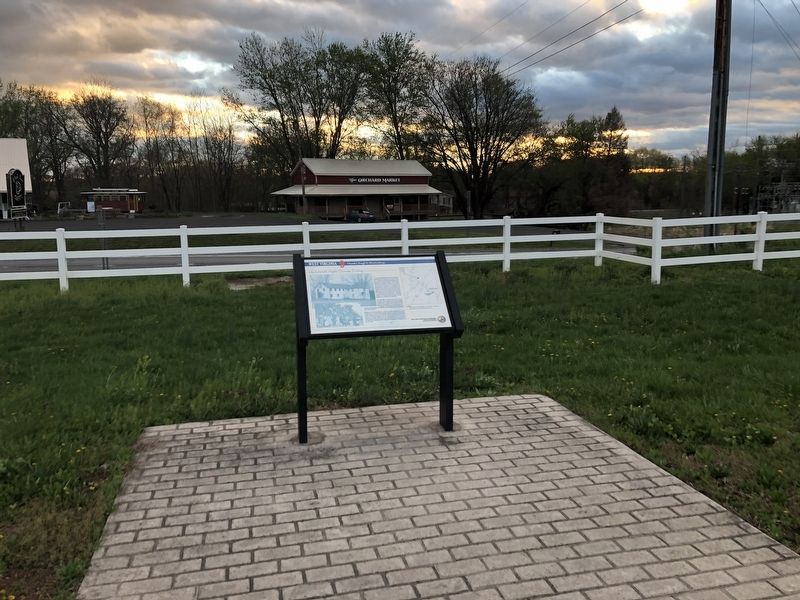
The Baltimore and Ohio, (B & O), trains stopped at New Creek Station, as Keyser was known during the Civil War. The first Depot was across the tracks from and near Southern States store. Passengers could stop over, enjoy meals and stay in the New . . . — — Map (db m196554) HM
On April 20, 1863, Confederate Gens. William E. “Grumble” Jones and John D. Imboden began a raid from Virginia through present-day West Virginia on the Baltimore and Ohio Railroad. Taking separate routes, they later reported that they . . . — — Map (db m117118) HM
On Garrett Street north of University Avenue (U.S. 119), on the left when traveling north.
After several abortive attempts to connect the "V" that the B&O cut through North Central West Virginia, the Morgantown and Kingwood Railroad (M&K) began construction in July 1899 under the direction of local resident George Sturgiss before being . . . — — Map (db m235290) HM
On U.S. 522 at River Road, on the right when traveling south on U.S. 522.
From this point, "Stonewall" Jackson shelled Hancock, Md., Jan 5, 1862. After destroying supplies, the B&O Railway track and the bridge over the Great Cacapon, Jackson marched his army of 8,500 men to Romney and captured it, January 14. — — Map (db m13158) HM
On North Washington Street (Route 522) just north of Williams Street, on the right when traveling north.
Berkeley Springs
Train Depot
has been placed on the
National Register
of Historic Places
by the United States
Department of the Interior
1915 — — Map (db m199891) HM
On North Mercer Street just north of Congress Street, on the left when traveling north.
Hugh Walker, owner of other lots in the town, was one of the early owners. This was the site of the "Blue Goose" saloon in the 1890's and the early 1900's. Wooden rails used on the Baltimore and Ohio Railroad before the advent of steel rails were . . . — — Map (db m159456) HM
On Sir Johns Run Road (County Road 3) at Slonaker Lane (County Road 3/1), on the left when traveling north on Sir Johns Run Road.
On January 1, 1862, Confederate Gen. Thomas J. "Stonewall" Jackson led four brigades west from Winchester, Va., to secure Romney in the fertile South Branch Valley on the North Western Turnpike. He attacked and occupied Bath on January 4 . . . — — Map (db m159462) HM
On Independence Street at North Mercer Street, on the right when traveling east on Independence Street.
The north end of town has generally seen industrial use including sawmills, canneries, coal and wood yards and sand mines. It was laid out as the Crosfield Addition in the early 1880s. By the end of the decade, Washington St. had been widened. . . . — — Map (db m159449) HM
On Cacapon Road (County Route 9) 2 miles south of Prospect Peak Lane.
On January 1, 1862, Confederate Gen. Thomas J. "Stonewall" Jackson led four brigades west from Winchester, Va., to secure Romney in the fertile South Branch Valley on the North Western Turnpike. He attacked and occupied Bath on January 4 and . . . — — Map (db m58636) HM
On Central Avenue (West Virginia Route 9) just east of Stinebaugh Lane, on the right when traveling east.
The tiny hamlet of Great Cacapon is situated on the western side of Cacapon Mountain on the Potomac River just upstream from its juncture with the Cacapon River. Artifacts of a Native American town circa 1300 AD have been found along the Potomac . . . — — Map (db m148832) HM
On West Virginia Route 9, on the right when traveling west.
Today's View Panorama Overlook marks the north end of Cacapon Mountain's 30-mile march. Composed of Oriskany sandstone, it plunges nearly 1000 feet into the Potomac River, which bends along the base of the Overlook as it heads downstream . . . — — Map (db m167603) HM
On West Virginia Route 9 at Winchester Street, on the right when traveling east on State Route 9.
Important concentration point of the Union Army from 1861 to 1865. As many as 16,000 Federal troops were encamped here at one time. A blockhouse stood along the tracks of the B&O Railroad at this point. — — Map (db m449) HM
On West Virginia Route 9 at Winchester Street, on the right when traveling east on State Route 9. Reported unreadable.
The Washington Heritage Trail is a 136-mile national scenic byway inspired by the prominent footsteps of George Washington through the three historic counties of West Virginia’s Eastern Panhandle. Compelling history, spectacular scenery, geologic . . . — — Map (db m450) HM
On Market Street east of 16th Street (West Virginia Route 2), on the right when traveling north.
The Baltimore & Ohio Railroad reached Wheeling on Christmas Eve 1852 and was one of the best presents the city of Wheeling ever received. From that Christmas until the last “All Aboard!” was shouted on June 30, 1961, our city utilized . . . — — Map (db m39785) HM
Baltimore and Ohio Railroad
Arrived in Wheeling January 13, 1853
Ohio River Railroad
Incorporated in 1881
Pittsburgh, Cincinnati & St. Louis Railway
Incorporated in 1868
Pittsburgh, Wheeling & Kentucky Railway . . . — — Map (db m196412) HM
On State Highway 72, on the right when traveling south.
To S on B&O Railroad is Buckeye Run Viaduct, 136' high, 350' long & 28' wide. Tray Run Viaduct, .6 mi. NW is 148' high, 445' long and 28' wide. Noted engineers Benjamin Latrobe & Albert Fink designed the viaducts. Built 1852 to carry main line, the . . . — — Map (db m33983) HM
On George Washington Highway (U.S. 50) at Hamilton Lane, on the right when traveling south on George Washington Highway.
On April 20, 1863, Confederate Gens. William E. "Grumble" Jones and John D. Imboden began a raid from Virginia through present-day West Virginia on the Baltimore and Ohio Railroad. Taking separate routes, they later reported that they . . . — — Map (db m235168) HM
On Railroad Avenue at 3rd Street, on the right when traveling south on Railroad Avenue.
You are standing at the heart of the first campaign of America's Civil War, looking west toward Rich Mountain. Late in May 1861, Gen. George B. McClellan moved troops across the Ohio River "to secure Western Virginia for the Union" and to protect . . . — — Map (db m23238) HM
On Main Street (West Virginia Route 74) just south of Collins Avenue, on the left when traveling north.
Constructed in two phases: east end construction circa 1883; east end remodeled and west end constructed circal 1900. The depot closed in 1974. The last passenger train passed through in the Spring of 1981.
Restoration began in the early . . . — — Map (db m42243) HM
On East Main Street (U.S. 119) at Barrett Street (County Route 9), on the left when traveling west on East Main Street.
Chartered 1827 to connect Baltimore to the Ohio River, the railway was completed to Wheeling in 1852. Used to move Union troops and supplies during the Civil War, its strategic importance made the B&O the target of destructive Confederate . . . — — Map (db m175612) HM
On East Main Street (U.S. 119) at Luzadder Street, on the right when traveling east on East Main Street.
In 1911, the Baltimore firm of JD Walsh and Son was contracted to build a new Baltimore & Ohio Passenger Station on land donated by Colonel John T. McGraw
The station was dedicated on August 22, 1911 with a large crowd in attendance. . . . — — Map (db m176346) HM
On West Main Street (U.S. 119) just west of St. John Street, on the right when traveling west.
In earlier days, this was the site of the mayor's office, city council chambers and Edward Berbig's cobbler shop. Berbig connected Grafton to another
significant moment in history, having served in the French army under Napoleon in his youth. . . . — — Map (db m176389) HM
On Latrobe Street just east of Beech Street (U.S. 119), on the right when traveling east.
In the early days of Grafton, Latrobe Street was one of the main business thoroughfares. It first developed in the 1850s with the coming of the railroad and was, appropriately, named for Benjamin Latrobe the Baltimore & Ohio engineer who plotted . . . — — Map (db m177421) HM
On North Pike Street (U.S. 50) at West Wifford Street, on the right when traveling west on North Pike Street.
About 500 graves of early Grafton
settlers, dating 1857-1917, are in
old cemetery located on land given
by Sarah Fetterman to St Augustine
Catholic Church. Headstones include
names of Irish and German emigrants.
Buried here is Thomas McGraw, . . . — — Map (db m75019) HM
On East Main Street (U.S. 119) at Luzadder Street, on the right when traveling east on East Main Street.
In 1911, Colonel John T. McGraw contracted JD Walsh and Son to build a modern hotel adjacent to the passenger station being built by the same company. His promise to erect the hotel, along with the donation of the land for the station, was . . . — — Map (db m177574) HM
On Poplar Street, 0.1 miles south of Mill Street, on the left when traveling south.
In the spring of 1861, Union forces into northwestern Virginia to secure the vital Baltimore and Ohio Railroad, protect important turnpikes, and support Unionists against Confederates. The two sides fought numerous engagements between June . . . — — Map (db m159726) HM
On Appalachian Highway (West Virginia Route 32), on the right when traveling south.
The Railroad
The West Virginia Central and Pittsburg (WVC&P) (Former Railyard, Tour No. 36) was founded by Henry Gassaway Davis, one of the most important figures in West Virginia history.
Davis began his career as a . . . — — Map (db m153060) HM
On Appalachian Highway (West Virginia Route 32), in the median.
Coal and Its Impact on Thomas
The history of the coal industry is inextricable from the development of the Thomas Commercial Historic District. If the Davis brothers had not invested in coal mining and transportation in the area, the town . . . — — Map (db m153089) HM
Near Hornet Highway (U.S. 250) near Pennsylvania Avenue (West Virginia Route 69).
The East Wetzel Trail is built on the bed of the Baltimore & Ohio Railroad. The line connecting Cumberland, MD to Wheeling, VA (later WV) was completed on Christmas Eve 1852. This route, over the Alleghenies, was the most challenging mountain . . . — — Map (db m237519) HM
233 entries matched your criteria. Entries 201 through 233 are listed above. ⊲ Previous 100