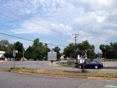
By Bernard Fisher, July 31, 2010
Hilton Blvd & Jefferson Ave
| On Warwick Boulevard (U.S. 60) at Franklin Road, on the right when traveling south on Warwick Boulevard. Reported missing. |
| On Warwick Boulevard just south of University Place. |
| Near Hiden Boulevard 0.1 miles south of Warwick Boulevard (U.S. 60), in the median. Reported permanently removed. |
| On Warwick Boulevard (U.S. 60) at Main Street (Virginia Route 152), on the right when traveling east on Warwick Boulevard. |
| On Deer Park Drive just west of Jefferson Avenue (U.S. 17), on the right when traveling west. |
| On Monroe Avenue just north of Dillon Circle, on the right when traveling south. |
| On Harrison Road at Taylor Avenue on Harrison Road. |
| On Old Grist Mill Lane at Warwick Blvd (U.S. 60), on the left when traveling west on Old Grist Mill Lane. |
| On Old Grist Mill Lane at Warwick Blvd (U.S. 60), on the right when traveling west on Old Grist Mill Lane. |
| On Condon Road at Mulberry Island Road on Condon Road. |
| On Dozier Road 0.5 miles south of Warwick Boulevard (U.S. 60), on the right when traveling south. |
| On Dozier Road 0.5 miles south of Warwick Boulevard (U.S. 60), on the left when traveling south. |
| On Denbigh Boulevard (Virginia Route 173) at Garrow Road, on the left when traveling south on Denbigh Boulevard. |
| On Campsite Drive at Jefferson Avenue ( Route 143), on the right when traveling north on Campsite Drive. |
| On Elmhurst Street at Yorktown Road ( Route 238), on the right when traveling west on Elmhurst Street. |
| Near Richneck Road 0.1 miles south of Jefferson Avenue ( Route 143), on the right when traveling south. |
| On Old Courthouse Way, on the left when traveling north. |
| On Chestnut Avenue, on the right when traveling south. |
| On Warwick Boulevard (U.S. 60) at Huntington Avenue, in the median on Warwick Boulevard. Reported missing. |
| On Roanoke Avenue at 16th Street, in the median on Roanoke Avenue. |
| On Huntington Avenue (U.S. 60) at 64th Street, on the right when traveling south on Huntington Avenue. |
| On Jefferson Avenue 0.3 miles south of 6th Street, on the left when traveling south. |
| On Wickham Avenue at 24th Street, on the right when traveling north on Wickham Avenue. |
| Near Biggins Circle 0.1 miles west of Hornet Circle. |
| On Hornet Circle 0.1 miles south of Warwick Boulevard (U.S. 60), on the right when traveling south. |
| On 27th Street (Virginia Route 143). |
| On West Avenue at 25th Street, on the left when traveling west on West Avenue. |
| On 16th Street (Virginia Route 167), on the left when traveling west. |
| On Oak Avenue just east of 28th Street. |
| On West Avenue at 25th Street, on the right when traveling east on West Avenue. |
| On West Avenue at 24th Street, on the right when traveling west on West Avenue. |
| On West Avenue at 30th Street, on the right when traveling east on West Avenue. |
| On Museum Drive at Museum parkway, on the left when traveling west on Museum Drive. |
| On Harpersville Road at Gatewood Road, on the left when traveling east on Harpersville Road. |
| On Museum Drive 0.3 miles west of Boundary Road, in the median. Reported missing. |
| On Parish Avenue just north of 28th Street ( Route 143), on the left when traveling north. |
