By James Hulse, January 28, 2021
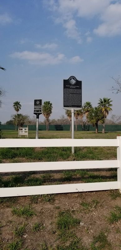
Bazán and Longoria Murders Marker
RANKED BY RELEVANCE
| On State Highway 186 at U.S. 281, on the left when traveling east on State Highway 186. |
| Near Ocean Drive at Airline Road. |
| Near Interstate 20 at milepost 538, on the right when traveling west. |
| On South Cage Boulevard 0.2 miles south of Military Highway (U.S. 281), on the right when traveling south. |
| On North Sugar Road, on the right when traveling north. |
| On North 3rd Street at East Brazil Avenue, on the right when traveling south on North 3rd Street. |
| On U.S. 83 at Stadium Street, on the right when traveling west on U.S. 83. |
| On South Cage Boulevard 0.1 miles south of Business U.S. 83, on the right when traveling south. |
| On Colorado Avenue (County Highway 106) at North Arroyo Boulevard, on the right when traveling west on Colorado Avenue. |
| On East Saint Peters Avenue at S Mier Street, on the left when traveling west on East Saint Peters Avenue. |
| On Military Highway 0.1 miles west of International Blvd (Farm to Market Road 498), on the right when traveling west. |
| On North Jasman Road at U.S. 281 Bypass Service Rd, on the right when traveling north on North Jasman Road. |
| On East Flora Avenue west of South 1st Street, on the right when traveling west. |
| On East Esperanza Avenue at South 1st Street, on the right when traveling east on East Esperanza Avenue. |
| On South 15th Street at Chicago Avenue, on the right when traveling south on South 15th Street. |
| On Military Highway (U.S. 281), on the right when traveling east. |
| On West 5th Street (Business U.S. 83) at Lincoln Street, on the left when traveling west on West 5th Street. |
| On South Tarnava Street at Railroad Street, on the left when traveling north on South Tarnava Street. |
| On Sunshine Strip (Business U.S. 77) at North Sam Houston Boulevard (State Highway 345), on the right when traveling west on Sunshine Strip. |
| On Military Highway (U.S. 281) 0.5 miles west of International Blvd (Farm to Market Road 493), on the left when traveling west. |
| On South Ohio Street at West 4th Street, on the right when traveling south on South Ohio Street. |
| On West Hidalgo Avenue (State Highway 186) at North 4th Street, on the right when traveling west on West Hidalgo Avenue. |
| On Military Highway 0.5 miles west of International Blvd (Farm to Market Road 493), on the left when traveling west. |
| On Levee Road at County Road 2842 on Levee Road. |
| On Levee Road at County Road 2842 on Levee Road. |
| On Levee Road at County Road 2842 on Levee Road. |
| On Levee Road at County Road 2842 on Levee Road. |
| On Levee Road at County Road 2842 on Levee Road. |
| On South Cage Boulevard at Business U.S. 83, on the right when traveling south on South Cage Boulevard. |
| On Business Farm to Market Road 1015 0.1 miles north of Johnny Vela Street, on the left when traveling south. |
| On East 5th Street at South Kansas Avenue, on the right when traveling east on East 5th Street. |
| On East 5th Street at South Kansas Avenue, on the right when traveling east on East 5th Street. |
| On East Chimney Road at Mayberry Road, on the right when traveling south on East Chimney Road. |
Thin black lines indicate changes in relevance. Between each pair of lines entries are ordered geographically but all have the same relevance.* Inflectional forms of words are their plurals, singulars, and possessives as well as gramatical tenses and similar variations.
Nov. 13, 2026
