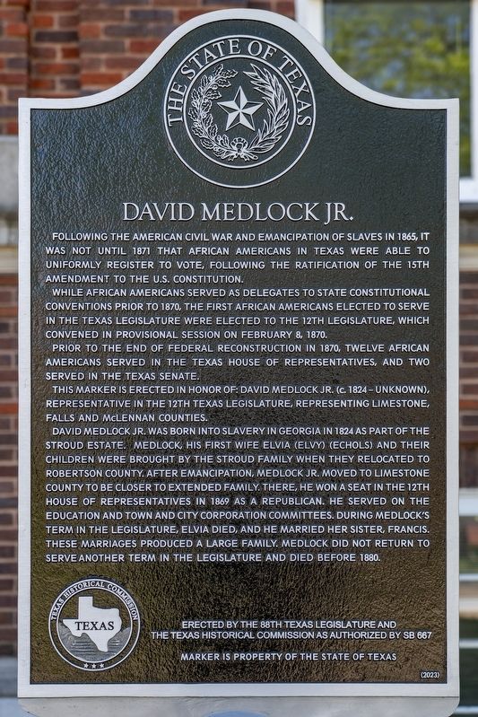
By Mansfieldphoto.com, April 19, 2026
David Medlock Jr. Marker
RANKED BY RELEVANCE
| On West State Street at Ellis Street, on the right when traveling east on West State Street. |
| Near Boonville Road 0.1 miles east of Austins Colony Parkway. |
| On East Water Street at North Rusk Street on East Water Street. |
| On U.S. 79 at Alley Street, on the right when traveling north on U.S. 79. |
| On U.S. 79 1.3 miles east of Farm to Market Road 46, on the right when traveling west. |
| On U.S. 79 2.4 miles south of Wheelock Street (Farm to Market Road 46), on the right when traveling south. |
| On Ebenezer Cemetery Rd (County Road 714) 1 mile south of State Highway 7, on the right when traveling south. |
| On Ebenezer Cemetery Rd (County Road 714) 1 mile south of State Road 7, on the right when traveling south. |
| On Calvert Farm Road (County Highway 116) 0.3 miles north of Black Bridge Road (Farm to Market Road 979), on the right when traveling north. |
| On Main Street (State Highway 6) at Burnett Street, on the right when traveling north on Main Street. |
| On West 2nd Street (State Highway 22) near North 24th Street, on the right when traveling east. |
| On Woodhead Street at Harold Street, on the left when traveling north on Woodhead Street. |
| On West 2nd Avenue, on the right when traveling east. |
| On Lamar Street (Farm to Market Road 2954) 0.1 miles east of North Main Street, on the left when traveling east. |
| On Farm to Market Road 391 at Bremond Street (Farm to Market Road 46), on the right when traveling west on Road 391. |
| On Navasota Street at Inks Avenue, on the right when traveling north on Navasota Street. |
| Near Boonville Road 0.1 miles east of Austins Colony Parkway. |
| On Interstate 30 Frontage Road 0.2 miles west of Division Street, on the right when traveling west. |
| On South Main Street at West Denton Street, on the right when traveling south on South Main Street. |
| On State Highway 6 at Farm to Market Road 1373, on the right when traveling north on State Highway 6. |
| On Historic Town Square at E Main Street, on the right when traveling west on Historic Town Square. |
| On Elm Street at Hanna Street (Farm to Market Road 1644), on the right when traveling north on Elm Street. |
| Near Cox Cemetery Road 0.2 miles south of Farm to Market Road 589. |
| On North 15th Street, on the left when traveling north. |
| On Business Interstate 45 2 miles south of Interstate 45, on the right when traveling north. |
| On North Center Street at West Decherd Street, on the left when traveling north on North Center Street. |
| On West Texas Street (County Road 1644) at Project Road, on the right when traveling west on West Texas Street. |
| On State Highway 75 1.8 miles north of Farm to Market Road 977, on the right when traveling north. |
| On North Hughes Street at NW 20th Ave, on the right when traveling north on North Hughes Street. |
Thin black lines indicate changes in relevance. Between each pair of lines entries are ordered geographically but all have the same relevance.* Inflectional forms of words are their plurals, singulars, and possessives as well as gramatical tenses and similar variations.
Nov. 12, 2026
