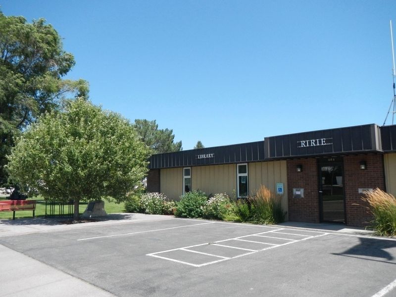
The Snake River shifted to the north bypassing the South Channel or Dry Bed and left canals along this route without water during most of the summer of 1894. The Great Feeder Headgate and Canal were built in the years 1894 and 1895 to supply . . . — — Map (db m140541) HM
The flat irrigated fields that stretch to the next interchange used to be a great Indian and trappers' hunting ground in an old lake that came and went.
In historic time Market Lake was formed during the great Snake River Flood of . . . — — Map (db m109685) HM
In the spring of 1883, a group of men led by Richard Hemsley and James Steel left Salt Lake City, by train, in search of a new place to live. They rode to the end of the railroad line, Market Lake, now Roberts, Idaho. Here they obtained horses . . . — — Map (db m140739) HM
This park is named for "Beaver Dick," a mountain man of late fur trade days, who lived on in this locality until 1899.
He was born in England, and his real name was Richard Leigh. He came west as a trapper, but the real fur trade was . . . — — Map (db m103902) HM
Brigham Young University - Idaho had its beginning in 1888 as an academy affiliated with The Church of Jesus Christ of Latter-Day Saints.
Initially known as Bannock Stake Academy. It was renamed Fremont Stake Academy, Smith Academy, and Ricks . . . — — Map (db m35477) HM
Settlement named in honor of Robert T. Burton, who laid out the townsite in 1882. Early settlers cleared the sagebrush, dug canals, ditches, planted crops, and built modest homes. A branch of the Church of Jesus Christ of Latter-Day Saints was . . . — — Map (db m140643) HM
Several of these hitching posts were connected by cable and located on the east front of the Tabernacle. Early Church attendees would tie their horses to the cable. — — Map (db m108348) HM
Erected Sept. 28, 1935
In honor of the Rexburg Stake Pioneers
The founders of Rexburg, March 11, 1883
Thomas E. Ricks• Henry Flamm • Francis C. Gunnell • Fred Smith• William F. Rigby • Daniel Walters •
Thomas E. Ricks, Jr. • Lorenzo . . . — — Map (db m84344) HM
Jenny Leigh, an Eastern Shoshone Indian of Chief Washakie's People, was born in 1849. She first married a French-Canadian trapper, who was later killed and despoiled of his furs by an Indian in Jackson Hole Country.
She later married . . . — — Map (db m276486) HM
Menan Buttes
Two cones of glassy lava are located directly south of here. The largest rises 800 feet above the surrounding plain.
Hot molten lava, erupting from great depth, met cold surface water in the wet flood plain of Snake river: the . . . — — Map (db m103901) HM
No. 70
August 21, 1937
In honor of
The Mormon Pioneers of Idaho
Builders of
North Fork Ferry
The first ferry on Henry’s Fork
of Snake River, was first operated
near this spot March 26, 1883. It
was constructed by Rexburg . . . — — Map (db m103903) HM
To honor those who have contributed to Growth and Development of the Upper Valley
Histories on file in Museum Library
A Civic Improvement Project of the
GFWC Rexburg Civic Club
Labor and materials donate by local Scout troops, . . . — — Map (db m84348) HM
Arthur Porter, for whom Porter Park is named, was born in Auckland, New Zealand, April 20, 1876. He came to the United States with his parents at the age of nine. He died December 30, 1967, in Rexburg, Idaho. Porter was an educator, publisher, . . . — — Map (db m140589) HM
In the summer of 1883, William F. Rigby purchased, dismantled and moved by oxen a mill to the new community of Rexburg, establishing the only mill in southern Idaho. The mill was reconstructed on the west side of Third East, between Second and Third . . . — — Map (db m42052) HM
In February of 1883, Colonizer and Bishop Thomas E. Ricks commissioned Andrew A. Anderson to survey Rexburg City. This block was set aside as the Public Square. In the early days of colonization, settlers camped here before moving to their permanent . . . — — Map (db m140590) HM
Ground was broken on May 14, 1911 by the Church of Jesus Christ of Latter-day Saints to construct a tabernacle for the purpose of holding conference, baptisms, and other special meetings. President Joseph F. Smith dedicated the tabernacle eight . . . — — Map (db m84346) HM
The first settlers arrived in the spring of 1883. These settlers were willing to neglect their own home building long enough to build a community meetinghouse.
A log building, thirty by sixth feet, built at a cost of $8500, was erected on this . . . — — Map (db m140640) HM
On November 12, 1888, five years after settlement of Snake River Valley, Bannock Stake Academy opened with 60 students ranging from 6 to 24 years of age. School was held in the first ward L.D.S. chapel during the first years. In 1898 it became a . . . — — Map (db m140637) HM
The collapse of the Teton River Dam on June 5, 1976 unloosed a savage flood which caused $500,000,000 in damage, took eleven lives, and made thousands homeless in Wilford, Sugar City, Rexburg, Salem, Hibbard, Firth, Blackfoot, and Roberts.
But . . . — — Map (db m84341) HM
A tithing barn was built on this property in the summer of 1885, two years after the first settlers arrived in Rexburg. The barn was built of 1x10 inch rough lumber and put together with wooden pegs. It was sixty feet long and thirty feet wide. The . . . — — Map (db m140588) HM
A few fur trappers, led by Andrew Henry, arrived along the Snake River in 1810. They built log shelters about five miles downstream from St. Anthony and established Henry's Fort. Other trappers who spent time in the area included men from the . . . — — Map (db m140740) HM
In August 1903, Mark Austin negotiated the purchase of a section of land here, the south half to be used as this town site and the north half, about 1/2 mile northeast, to be used for a sugar beet factory for the Fremont County Sugar Company. By . . . — — Map (db m140742) HM
Thomas C. Neibaur Veteran Park
Medal of Honor (US), Legion d’honnuer (France), Croix de Guerre (France), Medal of Military Bravery (Montenegro), Purple Heart (US), WWI Victory Medal (US), Cross of War “Merit of War” (Italy).
Rank . . . — — Map (db m108790) WM
The Fordson could pull discs and plows that would require at least four mules to pull, and it could work all day. Provided the radiator was continually filled, the fuel replenished, and the water in the air filter take changed. On dry days, mud . . . — — Map (db m108454) HM
Who accompanied Lewis & Clark through the Northwest in 1803-6, was the first white man to enter Teton Valley (Pierre’s Hole) in 1807 and discovered Teton Pass, Jackson Hole and the wonders of Yellowstone Park. Later called “Colter’s Hell.” He . . . — — Map (db m276453) HM
Teton Valley was known originally as Pierre's Hole. Rich in beaver, it was a favorite stamping ground for British and American fur traders and trappers between 1819-1840.
"Old Pierre" Tevanitagon, an Iroquois Indian fur trapper of . . . — — Map (db m108457) HM
Over 325 non-natives were in attendance. American Fur Company with 90 trappers; Rocky Mountain Fur Company with 100 men; several smaller fur companies and numerous free trappers joined 120 lodges of Nez Perce and 80 lodges of Flatheads. Trappers . . . — — Map (db m108456) HM
Veteran’s Memorial
Dedicated to all veterans who have served from
Teton Valley
All gave some- Some gave all
WWI: 183 Served, 4 Killed
Guy S. Butler, Lindsay Edward Murdock, Moses A. Hulet, George Anthony Smith
WWII: 436 . . . — — Map (db m84354) WM
This Bell was used at Tetonia School in the North End of Teton Valley.
In the valley there were 19 communities with schools before they consolidated to the three towns; Tetonia, Driggs, and Victor.
Tetonia town site was laid out and . . . — — Map (db m108453) HM
Discovered this valley in 1808 while exploring the Yellowstone and Upper Snake country in search of beaver.
Setting out all by himself with it gun and a 30 pound pack he tried to get the Indians to join in his trapping business. On his . . . — — Map (db m108352) HM
Flanked by rock formations more than 2 1/2 billion years old, these 3 granite peaks rose up less than 9 million year (ago), very new as mountains go. They are still rising.
Hinged at the base of the ridge before you, a block of rock 40 . . . — — Map (db m108353) HM
131 entries matched your criteria. Entries 101 through 131 are listed above. ⊲ Previous 100