The Truckee Trail, as the Truckee River Route of the California Trail is called, is historic in that it was the first wagon road opened over the Sierra Nevada. It was opened in 1844-45 by the Elisha Stephens party which consisted of 11 wagons, 26 men, 8 women and 16 children. This party was guided by Caleb Greenwood, an old mountain man, who was assisted at a critical time near the Humboldt Sink by a Paiute Indian chief who the emigrants called “Truckee.”
On Taylor Crossing Road at Dog Bar Road, on the left when traveling east on Taylor Crossing Road.
"The country here is all hill & ravine the soil red or yellow mixed with small stones & gravel - Timber mostly pine some oak & cov[ere]d with dried up weeds no grass except in some ravines" - William Edwin Chamberlain, Aug 16, 1849 — — Map (db m149137) HM
On Dog Bar Road at Owl Hill Court, on the left when traveling north on Dog Bar Road.
"Now that we are among the foot hills the pines have disappeared and in their place beautiful evergreen oak is scattered here and there giving the appearance of old apple orchards." - A, J. McCall, Sep 14, 1849 — — Map (db m149156) HM
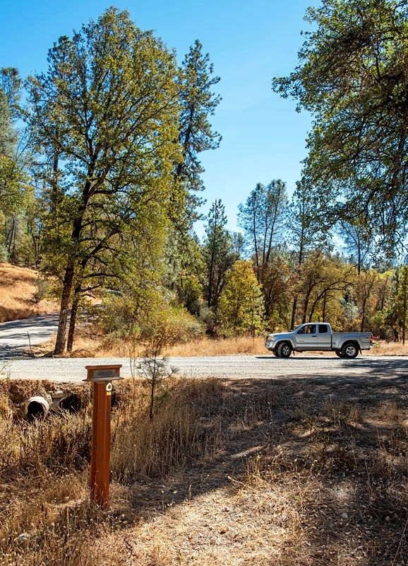
On Colfax Highway (California Route 174) at Lower Colfax Road, on the left when traveling north on Colfax Highway.
"[From Greenhorn Creek] we past [sic] up a steep ascent (doubled teamed) & came to the forks of the road. The right goes by the way of Yuba & left straight on by Johnsons [Ranch] We taken [sic] the left." - Augustus Ripley Burbank, Sep . . . — — Map (db m149130) HM
"Traveled six miles down Eubah then took to the left over the mountain passed a lake on our left on top of the mountain [Crystal Lake] drove ... to a valley on our left [Six Mile Valley] and encamp" - William P. Thompson, Aug 28, 1850 — — Map (db m149761) HM
On Garden Bar Road at Troy Road, on the left when traveling south on Garden Bar Road.
"We are evidently approaching the plains [of Sacramento Valley]. The hills are decreasing in magnitude & every thing indicates that we have gotten through the most difficult part of the mountains." - Jacob R. Snyder, Sep 25, 1845 — — Map (db m149139) HM
On Wolf Road at Duggans Road, on the left when traveling north on Wolf Road.
"Our road led through the last of the foothills of the Sierra Nevada. The road was still not overly good, yet the worst was behind us. ...By afternoon we had the last woodlands behind us" - Heinrich Lienhard, Oct, 1846 — — Map (db m149138) HM
Near this spot stood the Breen cabin of the party of emigrants who started for California from Springfield, Illinois, in April 1846, under the leadership of Captain George Donner. Delays occurred and when the party reached this locality, on October . . . — — Map (db m94058) HM
For thousands of years, people have crossed the Sierra Nevada near this place called Donner Pass.
Traveling by foot, wagon, train or automobile, the journey has always been challenging.
By Foot
Long before it’s “discovery” . . . — — Map (db m23571) HM
On Donner Pass Road (Old Highway 40) at South Shore Drive, on the left when traveling west on Donner Pass Road.
The Stephens – Townsend – Murphy Party, with guidance from old Caleb Greenwood and Chief Truckee, brought their wagons up the Truckee River bed and on Nov. 25, 1844 191 days out of Council Bluffs, Iowa passed this point and crossed the . . . — — Map (db m60305) HM
Near this spot stood a small cabin built by 18 year old Moses Schallenberger and two other men. They were members of the Stephens-Townsend-Murphy party of 1844, the first pioneers to take wagons over the Sierra Nevada, opening the Truckee Route of . . . — — Map (db m94059) HM
On May 22, 1844, this small wagon party of 50 men, women and children “jumped off” from Council Bluffs, Iowa, bound for California. These courageous pioneers were the first emigrants to take wagons over the Sierra Nevada, opening the . . . — — Map (db m23567) HM
On Nyack Road near Interstate 80, on the left when traveling north.
The first wagon train ever brought across the Sierra Nevada Mountains into California was lead by Caleb Greenwood. He led the Steven-Town (sic, Townsend) - Murphy party and came through what is known as the Emigrant Trail. Approximately fifty wagons . . . — — Map (db m129438) HM
On Hampshire Rocks Road, on the left when traveling east.
In 1844, the Stephens-Townsend-Murphy Party became the first wagon party to cross the Sierra Nevada. A portion of the group spent the winter nearby along the Yuba River, before continuing to Sutter's Fort in the spring of 1845. Their pioneering . . . — — Map (db m95508) HM
On Soda Springs Road, 0.8 miles south of Donner Pass Road, on the left when traveling south.
About one mile from our camp and we left the valley to our right and went up a ravine on the left; 4 miles more brought us to a group of lakes (6 in number) the water in them was cool and beautifully clear - John Markle, August 22, 1849 — — Map (db m149586) HM
On Kidd Lakes Road, 2 miles west of Soda Springs Road, on the right when traveling west.
You take off to the left of the valey [sic] (Summit Valley) Travel over much bad road The rock is all through the wood looking like waggons [sic] white cows and sheep
Micajah Littleton, Sep 28, 1850 — — Map (db m95644) HM
On Old Donner Summit Road, 0.9 miles south of Sugar Bowl Road, on the left when traveling east.
Dcinded abut 5 miles (from Roller Pass) throug lovly pine fur & ceder groves some of wich ... measured upwards of 33 feet and look as though they were 300 feet high. Came to a butifull little valley & campt - M. A. Violette, Sep 1, 1849 — — Map (db m149497) HM
Captain Stephens brought the first wagons
over the snow covered Sierra Nevada
Truckee Pass with no casualties in the
Stephens-Murphy-Townsend party of 1844,
arriving at Sutter's Fort with 11 wagons
and 51 people plus 2 infants born on the
way. . . . — — Map (db m24125) HM
On Henness Pass Road west of Sunrise Creek Road, on the right when traveling west.
"We took up the mountain side through a rough and rocky, but not very steep, ravine. Large pines, firs and cedars abound,...some of which are fully six feet through." - Isaac J. Wistar, Aug 17, 1849 — — Map (db m148733) HM
On Camp Far West Road, on the left when traveling south.
”with practically no food for man or beast, and by bringing all the energy and courage which both men and beast possessed,…we succeeded in…reaching the first, or Johnston’s settlement.”
-Benjamin Hoffman, Sep 1, 1849 — — Map (db m40842) HM
On U.S. 95, 0.9 miles south of Interstate 80, on the left when traveling south.
"Long before sunrise our teams were on the trail marching forward on the desert. Very little to note save the dust & brightness of the glittering sand. Now & then a grave, little donage & dead stock." - John Clark of Virginia, Aug 21, 1852 — — Map (db m149414) HM
Near Interstate 80, on the right when traveling east.
"We crossed the river 3 times ... which has become almost a perfect torrent ... our men have had all kinds of sport at the crossings, the water sometimes taking them off their feet and rolling them over like a barrel." - James Godfrey, Aug 7, 1849 — — Map (db m149927) HM
On East Peckham Lane east of Coliseum Way, on the right when traveling east.
(front plaque)
Marker No.T.R.R. 13-A -- Truckee Meadows
the California bound emigrants rested here
before ascending the Sierras to the west
(back plaque)
This marker is No 13-A of a total of 70 placed along
the Humbolt, . . . — — Map (db m113027) HM
On Rio Poco Road at Creekside Circle, on the right when traveling south on Rio Poco Road.
Upon entering the Truckee Meadows along the Truckee River, thousands of California-bound emigrants turned their wagons southwest to avoid extensive marshes and uncrossable sloughs. Here at the base of Rattlesnake Mountain the emigrants established a . . . — — Map (db m94434) HM
On Tahoe Pyramid Bikeway, on the right when traveling west.
"Came to another crossing of the river (here from the...left flows down into the river one of the finest spring rivulets...). The 23rd crossing...is quite difficult. Made so by the large round bolder [sic] rocks...in its bed." - Augustus . . . — — Map (db m149982) HM
On Tahoe Pyramid Bikeway, on the left when traveling east.
[Just before fording to the north side of Truckee River]" the road forks the left hand one is the old Truckee Route to Sacramento...The right hand one and the one we traveled is Beckwiths Cutoff [Beckwourth Trail]" - East S. Owen, Aug 22, 1852 — — Map (db m149925) HM
On Interstate 80, on the right when traveling east. Reported missing.
In prehistoric and early historic times, the Truckee Valley in the vicinity of Verdi, was occupied by the Washoe Indians. Their camps were on these flats near the river. Many fish blinds were located nearby for their use in this important . . . — — Map (db m238337) HM
"Drove over a hill and came through a most beautiful pine forest to the [Truckee] river and crossed it for the last - 27th time. Camped on the opposite side by a spring." - Joseph Curtis Buffum, Aug 7, 1849 — — Map (db m149990) HM
On Henness Pass Road, on the left when traveling west.
In 1844 the Townsend-Stephens-Murphy Party became the first wagon train to reach California over the Sierra Nevada mountain range. Their rugged route through the Truckee River Canyon was hazardous to the pioneers and their animals, so in 1845 . . . — — Map (db m94298) HM
"Following up the Truckee, on a sandy road, in four miles an abrupt mountain shut out the valley, compelling us to cross the stream, which we found quite dangerous, because of the swift current and deep water." John Steele, Sep 10, 1850 — — Map (db m149892) HM