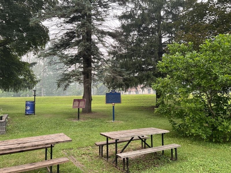
One of Canada's outstanding artists, Milne was born on a farm near Burgoyne, Saugeen Township, and raised in Paisley. Though largely self-taught, he studied briefly in New York at the Art Student's League, and in 1913 exhibited some of his paintings . . . — — Map (db m307595) HM
David Milne was one of the first Canadian artists to explore modernist styles and subject matter. His paintings, watercolours, and prints are subtle arrangements of colour, space, and line.
In 1903, he left Paisley for New York City, . . . — — Map (db m307589) HM
The mill property was developed by D. Hanna, in the 1850'S. He built a dam, mill race one saw mill on the south side of the river. In 1869, D. Fisher bought the property and operated a flour and saw mill. The central rectangle of the present mill . . . — — Map (db m307652) HM
This shop was built by Wm. Flood who purchased the lot from David Hanna in 1869
and was the owner until 1894. In October of 1889, a fire destroyed much of the business section on the west side of Queen St. N. but did not affect this building. . . . — — Map (db m307637) HM
Born in Truro, England, March 9, 1819.
Came to New York (1838), then to Toronto (1840) and to Grey County (1844).
In 1851 he came from Walkerton by raft down the Saugeen River arriving in Paisley a few weeks after his friend Simon Orchard. He . . . — — Map (db m307650) HM
In April 1851, Simon Orchard and
family beached their raft near
this point. Motivated by a dream
he experienced during a brief residence in Walkerton, he and his family descended the Saugeen
River. Captivated by the sight of two rivers joining, . . . — — Map (db m307649) HM
In 1852 Samuel T. Rowe, 2nd settler to Paisley, built a log tavern on this site. It became the first store and provided food and drink for weary travelers. It was also the site of the first church service and meeting place for several denominations, . . . — — Map (db m307636) HM
In July 1890, John Elliot, a mill builder from Chesley, purchased this lot in a section of Queen Street North Burned out by the fire of 1889 and constructed this handsome building. In 1902,
Elliot sold it to James Steele and the metal plaque near . . . — — Map (db m307651) HM
The brick chimney is all that remains of a foundry, which once employed as many as sixty men. Built in the early 1860's, it
operated for several years as Laidlaws
Foundry. John Stewart purchased the
business in the late 1860's and changed its . . . — — Map (db m307517) HM
[English] Built in 1859 by the Department of Public Works, this handsome 26 m structure is one of six “Imperial towers” on these shores. The circular limestone tower has walls 150 cm thick at the base, tapering to 61 cm at the top. The . . . — — Map (db m198318) HM
Bruce County's extensive coastal waters with their hidden rocks, shoals, deadly storms, shifting sand bars and cliff-bound shore, are among the most treacherous areas of the Great Lakes. Since the first light was lit in 1858, The many lighthouses . . . — — Map (db m307436) HM
The origins of this huge rock, known locally as "Paddy's Stone," has many variations. One colourful version relates how Paddy Walker was sitting on the front step of his hotel one evening when the sky was lit by the trail of a falling meteor. Paddy . . . — — Map (db m307439) HM
In memory of a Canadian hero
Sergeant Charles William Mann
Veteran of the Second World War and champion of the Kincardine community
June 29, 1922 - January 28, 2017
This is a tribute to Charles William Mann, one of Canada's true . . . — — Map (db m307446) HM WM
In the spring of 1848 Captain Alexander M. MacGregor guided
the small schooner Fly into the mouth of the Penetangore River,
landing the first settlers at what would become Kincardine. Although it was exposed to storms, the harbour at . . . — — Map (db m307438) HM
The Legend of Donald Sinclair
Back in 1856, on a cold, October day, a small vessel left the Port of Goderich carrying a family from the Isle of Skye, Scotland. It was the final leg of a journey for the immigrant family which intended to farm . . . — — Map (db m307365) HM
Levi Rightmeyer, an American entrepreneur, and his wife, Isabella, once owned and operated their saltworks where MacPherson Park (locally known as Tiny Tots Park) stands today. This was one of three saltworks in Kincardine, which exported much of . . . — — Map (db m307445) HM
Douglas Point Nuclear Power Plant
The Douglas Point Nuclear Power Plant began generating electricity in 1967 and continued until 1984. This joint project between Atomic Energy of Canada Ltd. and Ontario Hydro was the first . . . — — Map (db m307515) HM
Pump House A brick building was constructed in 1887 for the purpose of providing fire protection to a portion of the village. A well was dug in the basement of the pump house with a pipe extending to the Saugeen River. A steam engine of 4 . . . — — Map (db m198320) HM
In 1852, shortly after this region was opened for settlement, the government reserved land for a town here on the Elora and Saugeen Road, at the confluence of the Teeswater and Saugeen Rivers. Already settled on the site were Simon Orchard and . . . — — Map (db m198319) HM
Jennie Fletcher was born March 19, 1890, one of nine children.
Her father, John, was a fishmonger and a fish and chip shop owner who truly believed that his daughter should learn to swim. I won my first medal at 11," she said "I was a natural-born . . . — — Map (db m278200) HM
[west side]
1914 - 1918
"Who so giveth his life for my sake
shall find it”
World War 1914-1918
Culross and Teeswater
Nursing Sister Maude C. Mcglynn ·
Alexander Bannerman ·
Alexander Alphonse Brick ·
George David Colvin · . . . — — Map (db m279007) WM
By 1855 the first permanent settlers on the site of Teeswater, the families of Matthew Hadwen and Peter Brown, had located here on the Teeswater River. In that year Brown erected a sawmill and later added a grist-mill. In 1856 a post otfice was . . . — — Map (db m278208) HM
The early settlers, primarily of Scottish and Irish descent, came to Greenock circa 1850. Shortly after their arrival they received Land Grants from Queen Victoria. Located halfway between Durham and Kincardine, two regionally important centres at . . . — — Map (db m278213) HM
In 1850 Joseph Walker came here to the Durham Road where it crosses the Saugeen River. He built an inn and contracted to build two bridges and a part of the road. He and his son William were in 1851 granted tree lots and later allowed to buy . . . — — Map (db m278239) HM
"Willie Emerging"
Sculptor: Dave Robinson
Medium: Adair dolomitic limestone
Donated by
Arriscraft Corporation
To honour the 40th annual groundhog weekend celebrations 1956-1996
Commissioned by
The Wiarton and District . . . — — Map (db m289210) HM