By Steve Gustafson, June 13, 2010
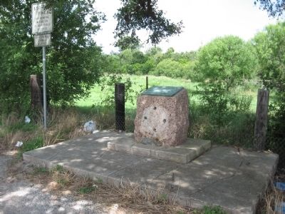
Goliad County Marker
RANKED BY RELEVANCE
| On U.S. 59, on the left when traveling east. |
| On East Broadway Street (U.S. 87) at East Courthouse Street, on the left when traveling west on East Broadway Street. |
| Near State Park Road 27 at Farm to Market Road 2506. |
| On Calle Cinco de Mayo at Camino De Bexar, on the right when traveling south on Calle Cinco de Mayo. |
| On North Church Street 0.2 miles south of West Ward Street, on the right when traveling north. |
| Near State Park Road 27 at Farm to Market Road 2506. |
| On South Market Street north of East Franklin Street, on the right when traveling north. |
| On Loop 71 at U.S. 183, on the left when traveling east on Loop 71. |
| On Smith-Walker Cemetery 0.1 miles John Pettus Road, on the right when traveling east. |
| Near Navasota Street north of East 7th Street, on the right when traveling north. |
| On Church Road 0.1 miles south of State Highway 119, on the right when traveling south. |
| On Cabrera Road at Barnhill Road, on the right when traveling north on Cabrera Road. |
| On Lower Mission Valley Road 1.5 miles west of Coffey Lane, on the right when traveling west. |
| On Park Road 6 0.1 miles west of U.S. 183, on the right when traveling west. |
| Near State Park Road 27 at Farm to Market Road 2506. |
| On Calle Cinco de Mayo at Camino de Bexar on Calle Cinco de Mayo. |
| On South Commercial Street, on the right when traveling north. |
| On South Jefferson Street (U.S. 183) at Auditorium Drive, on the right when traveling south on South Jefferson Street. |
| Near South Dixie Highway (U.S. 31W) 0.1 miles north of L and N Turnpike Road (Kentucky Highway 335), on the left when traveling north. |
| On U.S. 59 0.2 miles west of State Highway 239, on the left when traveling west. |
| On U.S. 59 2 miles west of State Highway 239, on the left when traveling west. |
| On U.S. 59 2 miles west of State Highway 239, on the left when traveling west. |
| On U.S. 183 0.2 miles north of Farm to Market Road 1961, on the left when traveling north. |
| On State Highway 72 at North Louis Avenue, on the right when traveling north on State Highway 72. |
| Near Park Road 6 0.2 miles west of South Jefferson Street (U.S. 183). |
Thin black lines indicate changes in relevance. Between each pair of lines entries are ordered geographically but all have the same relevance.* Inflectional forms of words are their plurals, singulars, and possessives as well as gramatical tenses and similar variations.
Nov. 12, 2026
