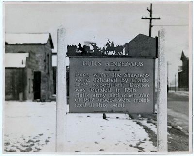
Image courtesy of the Ohio History Connection, November 6, 1936
Hull's Rendezvous Marker
SHOWN IN SOURCE-SPECIFIED ORDER
| On Webster Street at Deeds Park Drive, on the left when traveling north on Webster Street. |
| On North Main Street (U.S. 68) at Miami Street (U.S. 36), on the right when traveling south on North Main Street. |
| On Main Street (U.S. 68) at Fyffe Street, on the left when traveling north on Main Street. |
| On North Detroit Street (U.S. 68) at Columbus Street, on the right when traveling north on North Detroit Street. |
| On Township Road 190 West west of U.S. 68. |
| On County Road 130 (Ohio Route 117) 0.2 miles south of County Route 91, on the right when traveling south. |
| On County Road 91 west of County Road 130, on the left when traveling west. |
| On County Route 39, 2.5 miles north of Ohio Route 274, on the right when traveling south. |
| On County Route 200, 0.2 miles west of County Route 115, on the right when traveling west. |
| On County Route 180, 0.2 miles west of County Route 119, on the right when traveling west. |
| On North Detroit Street (U.S. 68) near East Franklin Street (Ohio Route 309), on the right when traveling north. |
| On Ohio Route 67, 0.8 miles County Route 115, on the right when traveling west. |
| On Lynn Valley Pike, 0.2 miles south of County Route 106, on the left when traveling south. |
| On County Road 106 (County Route 106). |
| On County Route 135 at Ohio Route 701, on the right when traveling north on County Route 135. |
| On State Route 701 (Ohio Route 701) at County Road 135 (County Route 135) on State Route 701. |
| On County Route 135, 0.2 miles south of West Geneva Street (Ohio Route 81), on the left when traveling north. |
| On U.S. 68 at Ohio Route 15, on the right when traveling north on U.S. 68. |
| On McManness Avenue at Clinton Court, on the left when traveling south on McManness Avenue. |
| On S. Main Street (Ohio Route 12), on the right when traveling south. |
| On Dixie Highway South (Ohio Route 25) south of Main Street, on the right when traveling south. Reported missing. |
| Near North River Road, 0 miles south of Jerome Road, on the right when traveling south. Reported missing. |
| On Kentucky Avenue at East 3rd Street, on the right when traveling south on Kentucky Avenue. |
| On US Turnpike Road, 0.3 miles north of Strong Road, on the right when traveling north. |
| On South Gibraltar Road, 0.1 miles east of West Jefferson Avenue, on the right when traveling east. |
| On South Gibraltar Road, 0.1 miles east of West Jefferson Avenue, on the right when traveling east. |
| On West Jefferson Avenue, 0.4 miles south of Slocum Street, on the right when traveling north. Reported missing. |
| On Shelby Street at West Fort Street (Michigan Highway 85), on the right when traveling south on Shelby Street. |
| On 2072 Riverside Drive East west of Walker Road, on the left when traveling east. |
| On Pitt Street West west of Ferry Street, on the right when traveling west. |
| On Sandwich Street at Ojibway Parkway, on the right when traveling south on Sandwich Street. |
| On Front Street North (Provincial Highway 20) north of North Side Road, on the right when traveling south. |