Illinois, Remembering the 1917 East St. Louis Race Riot Historical Markers
24 markers remembering the horrific destruction of the African American community and the loss of innocent life. The erecting organizations are The 1917 East St. Louis Centennial Commission & Cultural Initiative and Southern Illinois University at Edwardsville (SIUE) College of Arts & Sciences.
Here stood the home of Malbern Stephens, a decent man who fought corruption. He was elected mayor after the riot and oversaw reparations to the victims. — — Map (db m142346) HM
Hundreds crossed the Municipal Free Bridge over to St. Louis to escape the violence. White rioters attempted to block the entrance, killing some. — — Map (db m142231) HM
White rioters attempted to push their violence past 10th Street, but snipers were ready and fired shots. Rioters retreated, but there was still much damage. — — Map (db m142227) HM
Dr. Leroy Bundy lived here. He was a community leader in 1917. He stood trial and was found guilty of causing the riot. He was sentenced to life in prison. He was later exonerated by the Illinois Supreme Court. — — Map (db m142225) HM
Marcus Garvey blamed the massacre on Mayor Fred Mollman, who lived at this site. The mayor was incompetent and was indicted for not doing his duty. — — Map (db m142460) HM
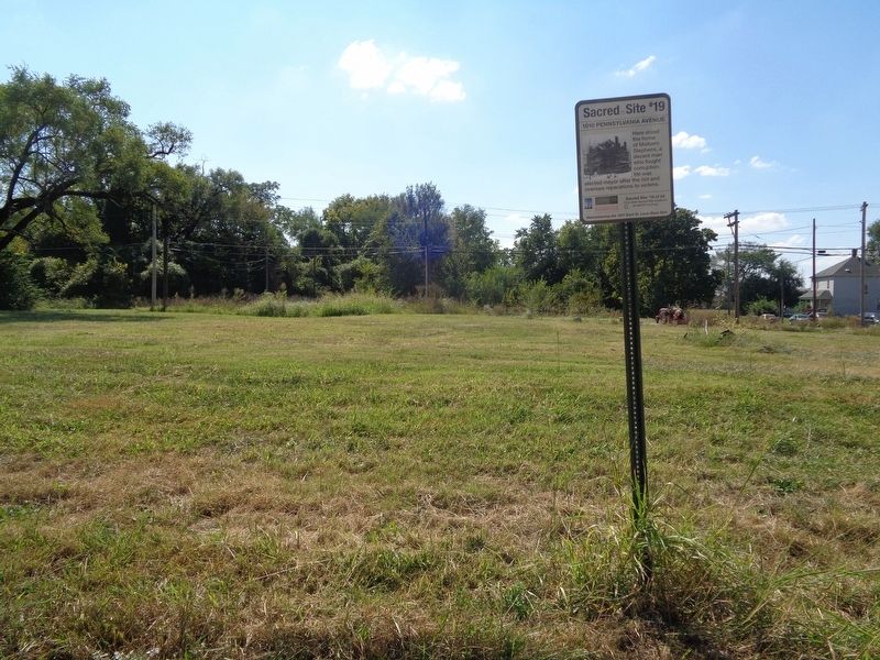
The Broadway "Opera House" was an empty theater on this site. It was rumored that many African Americans were burned to death inside. No remains were identified in the ashes. — — Map (db m142238) HM
Here is where the white rioters assembled, listened to inflammatory speeches, and marched in military formation toward East Broadway. The first victim was harmed here. — — Map (db m142344) HM
A dozen houses were destroyed here. It was two miles from the massacre's core and is the farthest point north that the violence spread. — — Map (db m142518) HM
Several homes were burned here, but fatalities were few. Many African Americans were alerted to the trouble by this time and fled the neighborhood. — — Map (db m142520) HM
Near this site was the City Hall, police department and fire station. On the night of the massacre, more than 1,000 people sought safety in the municipal buildings. — — Map (db m142338) HM
Narsis Gurlie lived near this spot. She stayed in her burning home until it collapsed. Severely burned, she and others fled. She was allowed to escape, but she lost everything. — — Map (db m142320) HM
On May 28, 1917, whites set fires and accosted African Americans around St. Clair Avenue. Authorities dispersed the rioters, but the troubles were not over. — — Map (db m142936) HM
Around 11 p.m. on July 2, rioters set fire to the neighborhood here in an attempt to spread the violence to the north. Major military reinforcements did not arrive until after midnight. — — Map (db m142464) HM
A streetcar was stopped near this spot. White rioters pulled African American passengers off and attacked them while soldiers stood and watched. — — Map (db m142319) HM
Here stood the residence of Scott and Iva Clark. Rioters burned their home, and a mob attacked them. A soldier did not protect them. Mr. Clark died. — — Map (db m142317) HM
The most severe property damage happened here. Houses and rail cars on the adjacent tracks were destroyed by the rioters. Very little remained standing in this area. — — Map (db m142286) HM
Over 100 African Americans barricaded in two homes here. They provided armed resistance to the white attackers. Soldiers brokered a cease fire and escorted them to St. Louis. — — Map (db m142285) HM
White rioters burned homes, armed men stood along the railroad tracks near here and gunned-down African Americans fleeing their burning homes. — — Map (db m142282) HM
Otto Nelson lived here, the only African American detective on the police force. His home was destroyed and he fled to St. Louis. — — Map (db m142239) HM