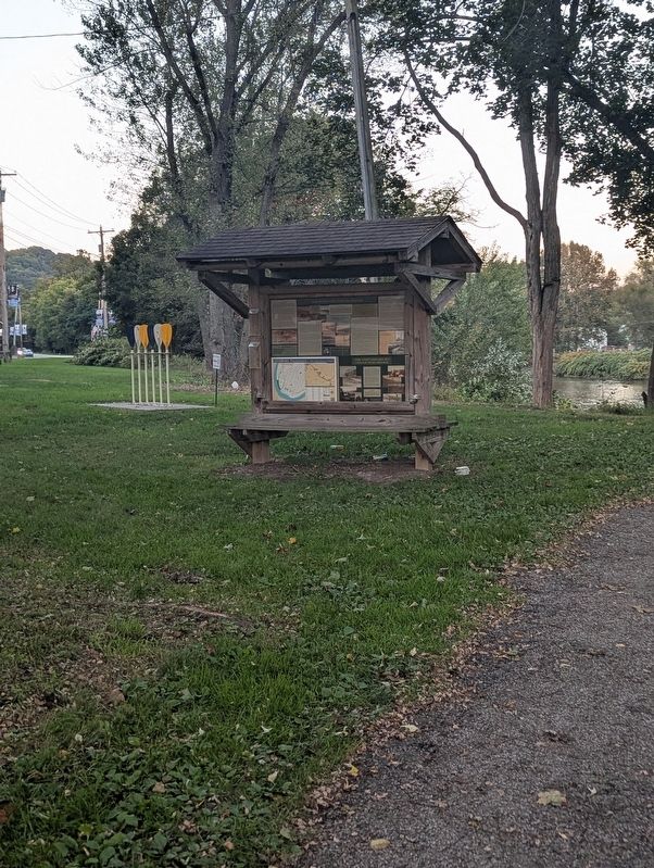
On Market Street, on the right when traveling north.
Crossing the “Kiski”
The State of Pennsylvania has over 86,000 miles of rivers and streams, the most of any state in the continental United States. The Kiskiminetas River to your right is part of the Allegheny River Watershed and contributes 27 . . . — — Map (db m314501) HM
Near Saint Johns Church Road at Baltzer Meyer Pike.
Built and commanded by Colonel Christopher Truby, officer of the revolution, was located 150 yards to the south of this marker. A frontier Fort of Dunmore's War 1774, the Indian War, and the War of the Revolution, It was also known as Truby's . . . — — Map (db m55584) HM
On Forbes Trail Road (Pennsylvania Route 1032) 0.1 miles west of Hannastown Road ( Route 1055), on the left when traveling west.
Hanna's Town
Westmoreland County Seat
1773 - 1785
Early efforts by the British Colonists in America to establish Fort Pitt at the point where the Monongahela and Allegheny Rivers joined were foiled by the French. After unsuccessful . . . — — Map (db m282101) HM
On Greensburg Street just north of Crest Drive, on the right when traveling north.
1833 — 1933 To commemorate the One Hundredth Anniversary of the Incorporation of New Salem Borough Westmoreland County Pennsylvania — — Map (db m155797) HM
On Williams Road just east of Gossard Drive, on the right when traveling east.
Barnhart Rice Homestead
The Barnhart Rice house is one of two original farmhouses occupying this 320-acre hilltop farmstead from the early days of the settlement. Started in the spring of 1822, the house was built of hand-cut sandstone . . . — — Map (db m66463) HM
Near Kings Chapel Road at Pulaski Road, on the right when traveling south.
General Geography/Economy
The topography, climate, and soil makes western Pennsylvania well-suited for the dairy and agricultural industry, and on well-drained soils, crops produced here include oats, wheat, potatoes, and corn. Poorly-drained . . . — — Map (db m203051)
On Braun Avenue west of Carson Avenue, on the left when traveling west.
The Haymaker Well
The famous Haymaker Well sits along the banks of Turtle Creek near this spot. The story of the Haymaker Well starts with two local brothers seeking their fortunes. Michael and Obediah Haymaker grew up on their family . . . — — Map (db m270089) HM
Near St Clair Avenue at Kaylor Way, on the right when traveling north.
Erected by the Westmoreland County Law Association on the 100th anniversary of his elevation to the
Supreme Court of Pennsylvania September 16, 1846 — — Map (db m269758) HM
On Douglas Run Road at Round Hill Road, on the right when traveling south on Douglas Run Road.
This pioneer settler of Rostraver Township, Westmoreland County, arrived in Philadelphia from Rotterdam aboard the ship Mortonhouse in 1729. He and his wife Mary lived for a time near Hagerstown, Maryland and after the Braddock and Forbes . . . — — Map (db m63078) HM
On Ligonier Street at Main Street ( Route 981), on the left when traveling west on Ligonier Street.
OLIVER BARNES
Oliver W. Barnes was a civil engineer with the Pennsylvania Railroad. On February 18, 1851 Barnes purchased the 140 acre Thomas Kirk farm and would lay out streets and lots for a new town, which he named after a long-time . . . — — Map (db m308090) HM
Near Norbatrol Court 0.1 miles west of Carson Avenue.
On this site, a pioneer natural gas well "blew in" on November 3, 1878. Named for the brothers Matthew and Obe Haymaker who drilled it, the well was drilled to a depth of 1,400 feet to the Murrysville sandstone, a bed of pourous rock similar to the . . . — — Map (db m79286) HM
On West Pennsylvania Avenue at Post Road, on the right when traveling east on West Pennsylvania Avenue.
On November 24, 1896, the United States Post Office Department established Pennsylvania's first two rural mail routes here in Westmoreland County. One operated from the post office here in New Stanton; the other operated out of nearby Ruffsdale . . . — — Map (db m55001) HM
In June 1778, with the French Alliance a reality and Valley Forge behind it, the
Board of War ordered an expedition against Fort Detroit to counter the British disruption
of the western frontier. Washington ordered the 8th Pennsylvania . . . — — Map (db m204297) HM
On South Main Street 0.1 miles north of 5th Avenue, on the right when traveling north.
Sheepskin Trail
History & Detail
The original rail line that defines much of the Sheepskin Trail was built in the 1890's as the Fairmont, Morgantown, and Pittsburgh branch of the B&O Railroad. It was to meet the needs of a booming coal . . . — — Map (db m203191) HM
On Kiski Avenue just south of 1st Street ( Route 66), on the right when traveling south.
Pride In Our Past, Faith In Our Future
Apollo's rich history comes to life on the mural and mosaics on the building in front and above you! This striking art work was created by Apollo-Ridge students in partnership with professional . . . — — Map (db m282820) HM
On Forbes Trail Road (Pennsylvania Route 1032) 0.1 miles west of Hannastown Road ( Route 1055), on the right when traveling west.
First English Court West of the Allegheny Mountains, 1773
Attacked & Burned July 13, 1782 by Native Americans & English
Open for Guided Tours
May, September, October
Sat: 10 AM to 4 PM & Sun: 1 to 4 PM
June, . . . — — Map (db m282139) HM
William Rogers
Father of the tin plate industry in America.
Born 1827 in Wolverhampton, England
Died 1901 in Wheeling, WV
Founder of the Siberian Iron Works 1871.
First to produce Russia Iron & Tin Plate in the U.S.
First to use . . . — — Map (db m314490) HM
On Forbes Trail Road (Pennsylvania Route 1032) 0.1 miles west of Hannastown Road ( Route 1055), on the right when traveling west.
On April 6, 1773, English justice arrived west of the Allegheny Mountains at Hanna's Town, the seat of the new county of Westmoreland. For settlers, court symbolized a stable system of law and order on the ever-changing 18th century frontier. . . . — — Map (db m282082) HM
On West Patrick Street (State Highway 144), on the left when traveling west. Reported permanently removed.
In 1826, Jacob Engelbrecht moved to the house across the street near Carroll Creek. He began reporting on the National Road cavalcade that was going by his front door. His priceless diary recorded everything he saw. Travelers he observed included: . . . — — Map (db m2706) HM
Side A
The Kyle-McCollum House, thought to be the oldest continuously inhabited residence still on its original site in Youngstown, was built by War of 1812 veteran Joshua Kyle (c. 1766-1842) and his wife Mary Stewart (c. 1774-1844). The . . . — — Map (db m122051) HM
On Hallock Young Road at Hallock Sook Road, on the right when traveling east on Hallock Young Road.
Side A
Alexander Sutherland (1767-1845) and his wife Sarah (1768-1836) were the first settlers in Newton Township, Trumbull County, Ohio. Coming from Westmoreland County, Pennsylvania, the Sutherlands acquired 205 acres of land along Duck . . . — — Map (db m121502) HM
Near Riverview Drive south of East Laughery Creek Road, on the right when traveling south.
In memory of
Col. Archibald Lochry
and the members of the Westmoreland County, Pennsylvania
Militia, who were defeated near here August 24, 1781
by Chief Joseph Brant and a coalition of Ohio Indians.
Killed
Col. Archibald Lochry . . . — — Map (db m222279) WM
On South Braddock Avenue 0.1 miles north of Biddle Avenue, on the left when traveling north.
Henry Clay Frick
Frick was born in 1849 in West Overton, Westmoreland County, PA. He attended Otterbein University for one year, but did not graduate. In 1871, at 21 years old, Frick joined two cousins and a friend in a small partnership, . . . — — Map (db m156128) HM
With its shady groves and panoramic views of the Laurel Mountains, Unity Cemetery provides a peaceful final resting-place for people of all denominations.
A land grant dated March 1, 1774, and signed by William Penn's grandson, John Penn, . . . — — Map (db m245119) HM
Unity Church was the first Presbyterian Church established west of the Allegheny Mountains. It had its beginnings before the American Revolution and before Westmoreland County, or even Pennsylvania, had clear boundaries.
Soon after the French . . . — — Map (db m245116) HM
On Huff Avenue 0.1 miles east of Main Street (U.S. 119), on the left when traveling east.
Birthplace: Norristown, PA • July 16, 1842 - April 18, 1912
State Senator: 1885 - 1888 • U.S. Congressman: 1891 - 1910
George F. Huff was well respected by both the wealthy and working class. His business ability, high character, pleasing . . . — — Map (db m269873) HM
On James Monroe Highway (Virginia Route 205) 0.2 miles north of Old Road, on the right when traveling north.
James Monroe's public service career, the most extensive of any President of the United States, took him far from his Westmoreland County birthplace.
As a student at the College of William and Mary in Williamsburg, Monroe was inspired to . . . — — Map (db m176506) HM
On Stratford Hall Road (VA Highway 214), on the left when traveling east.
President of his majesty's council and Commander in Chief of the colony and dominion of Virginia 1749 - 1750
A leader in the movement which resulted in the treaty of Lancaster 1744 by which Virginia was united with Maryland and Pennsylvania in . . . — — Map (db m34442) HM
On West Patrick Street (Maryland Route 144) east of South Bentz Street, on the left when traveling west. Reported permanently removed.
In 1826, Jacob Engelbrecht moved to the house across the street near Carroll Creek. He began reporting on the National Road cavalcade that was going by his front door. His priceless diary recorded everything he saw. Travelers he observed . . . — — Map (db m249946) HM
On West Patrick Street (Maryland Route 144) east of South Bentz Street, on the left when traveling west.
In 1826, Jacob Engelbrecht moved to the house across the street near Carroll Creek. He began reporting on the National Road cavalcade that was going by his front door. His priceless diary recorded everything he saw. Travelers he observed . . . — — Map (db m313510) HM
Near Constitution Avenue Northwest (U.S. 50) east of 19th Street Northwest, on the right when traveling east.
In Congress, July 4, 1776.Unanimous Declaration of the thirteen united States of America.And for the support of this Declaration,
with a firm reliance on the protection of Divine Providence,
we . . . — — Map (db m137039) HM
Near Riverview Drive 0.3 miles south of East Laughery Creek Road, on the right when traveling south.
In memory of Col. Archibald Lochry and the members of the Westmoreland County, Pennsylvania Militia, who were defeated near here August 24, 1781 by Chief Joseph Brant and a coalition of Ohio Indians.
Killed
Col. Archibald Lochry • . . . — — Map (db m243827) WM
On Washington Avenue north of Grant Avenue, on the left when traveling north.
Westmoreland Coal Company South (#2) Mine Entrance and Fan House
The half-moon shaped concrete structure before you is what remains of one of the two Westmoreland Coal Company fan houses that provided air circulation for the mines. On . . . — — Map (db m271090) HM
On Leechburg Road east of Nevada Street, on the right when traveling east.
1941 • 1945
In loving appreciation and grateful memory of the young men and women of Lower Burrell Township, Westmoreland County, State of Pennsylvania, who have served in the Armed Forces of our country during World War II, . . . — — Map (db m283948) WM
Thin black lines indicate changes in relevance. Between each pair of lines entries are ordered geographically but all have the same relevance.
* Inflectional forms of words are their plurals, singulars, and possessives as well as gramatical tenses and similar variations.