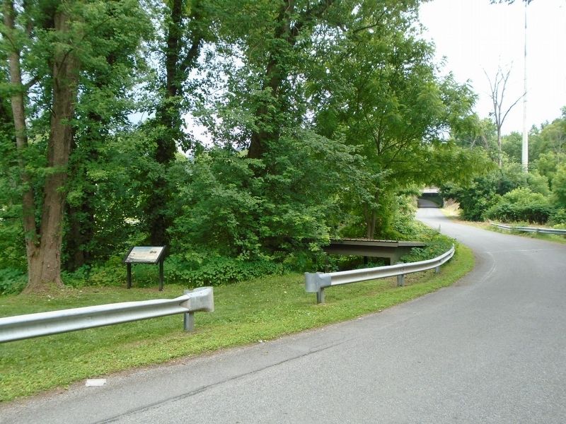
Near Pepper Street, on the left when traveling south.
Established in the 1830s, Port Penn grew as fast as traffic through this section of the West Branch of the Pennsylvania Canal allowed. There were hotels and taverns as well as blacksmiths to shoe mules, lumberyards and sawmills to supply wood, . . . — — Map (db m120905) HM
On Pennsylvania Route 44 at Antes Fort Main Street, on the right when traveling north on Pennsylvania Route 44. Reported missing.
About one half a mile southwest of this spot, on the high bluff above the river, stood the stockade known as Antes Fort. Erected by Lieut. Col. John Henry Antes in the summer of 1777. This fort was an important rallying point for the settlers in . . . — — Map (db m74246) HM
On Main Street north of Noble Alley, on the left when traveling north.
The McCarty House, on your left, has been enlarged since the original log structure was erected circa 1800 by William McCarty.
William and his brother, Benjamin, and their Walton cousins were Muncy's founding fathers. William laid out this . . . — — Map (db m120915) HM
On Pennsylvania Route 44 just west of Bierly Drive, on the right when traveling west.
The 221 foot Lenticular Truss bridge which spanned Little Pine Creek at this location from 1890-1984 was one of several of these uniquely configured truss bridges to be built in north central Pennsylvania in the late 19th century. The distinctive . . . — — Map (db m220001) HM
Near Railroad Street at Humes Street, on the left when traveling west.
“I remember well the day independence was declared on the plains of Pine Creek...” —Anna Jackson Hamilton, 1858, recalling, at age 90, the gathering under the Tiadaghton Elm on July 4, 1776. In the mid-1700s, much of Pennsylvania was still . . . — — Map (db m304578) HM
On Pine Creek Rail Trail 1 mile south of State Highway 44, on the left when traveling south.
Until the late 1700s, forests covered the land here. After serving as George Washington's wagon master during the Revolutionary War, Thomas Ramsey bought land in the Pine Creek Valley, built a sawmill, and cleared trees to make room for field crops . . . — — Map (db m215999) HM
Near Market Street (U.S. 15) just south of Susquehanna Beltway (U.S. 220), on the right when traveling south.
For thousands of years, Native Americans traversed this region in dugout canoes and over a far-reaching network of footpaths. White settlers followed and expanded these woodland paths. Until the late 1800s, rivers reigned as the region's . . . — — Map (db m191998) HM
Branch of Warriors Path; provided a short cut from Tioga to the Big Island, traversing “the dismal wilderness” of Lycoming Creek. Dense forest, swamp, windfall, and storm made Indians believe a demon had power in this valley. — — Map (db m43523) HM
On Pennsylvania Route 14 0.3 miles south of Narrow Mountain Road, on the right when traveling south.
By this path up Lycoming Creek, Conrad Weiser, with Lewis Evans, map-maker, and John Bartram, botanist, traveled to Onondaga in 1743 on a peace mission for Virginia: “To take the hatchet out of the head of the Six Nations.” — — Map (db m43549) HM
A journey down the West Branch tells the tale of lumbering in Pennsylvania, from the early lumber mills to today's sustainable forests. As you float downstream you will see the legacy of lumber; the "rafting points" used by river pilots to navigate . . . — — Map (db m87639) HM
On Front Street (Pennsylvania Route 153) just north of Locust Street, on the right when traveling south.
A journey down the West Branch tells the tale of lumbering in Pennsylvania, from the early lumber mills to today's sustainable forests. As you float downstream you will see the legacy of lumber; the "rafting points" used by river pilots to . . . — — Map (db m251275) HM
A journey down the West Branch tells the tale of lumbering in Pennsylvania, from the early lumber mills to today's sustainable forests. As you float downstream you will see the legacy of lumber; the "rafting points" used by river pilots to . . . — — Map (db m263023) HM
On Green Street east of Route 14, on the right when traveling east.
An iron Warren Truss bridge built by the American Bridge Company in 1901, crossed Lycoming Creek on this site until 2002. Last used by the Pennsylvania Railroad, it provided coal, lumber and passenger service for central PA.Lycoming County . . . — — Map (db m177671) HM
On Main Street (U.S. 660) 0.1 miles south of Central Avenue, on the right when traveling south.
Formed March 26, 1804 from Lycoming County. The name, derived from an Indian word meaning "the forks of a stream," honors the Tioga River. Wellsboro, the county seat, was laid out in 1806; incorporated 1830. On Pine Creek is Pennsylvania's Grand . . . — — Map (db m43212) HM
On Old State Road 0.3 miles east of Iron Bridge Road, on the right when traveling east.
INWOOD IRON BRIDGE
A Pennsylvania (Petit) Thru Truss, Inwood bridge was fabricated by the Pittsburgh Bridge Company and was erected by their agents Nelson & Buchanan in 1899. The 160-foot-long, single-span, pin connected steel bridge was . . . — — Map (db m247768) HM
Near Market Street (U.S. 15) 0.2 miles south of Susquehanna Beltway (U.S. 220), on the right when traveling south.
"…Whereas the workingmen in the sawmills of the city of Williamsport work from 11½ to 12 hours per day, a period longer than that worked by other workingmen in the United States, which is an injury to the human system… Resolved: that 10 hours is . . . — — Map (db m191957) HM
On Arch Street just south of Mosser Avenue, on the right when traveling south.
Erected in memory of Victor P. Staccone 1934 — 1951 Co. B. 8th Cavalry Regt. Inf., 1st Cavalry Div. First former Little League ball player of the U.S. to give his life, January 27, 1951, in the Korean War. Dedicated by Lincoln . . . — — Map (db m274900) HM
Near Laurel Street north of West Willow Street, on the left when traveling north.
Lycoming County has a rich sports history that goes beyond Little League Baseball. The county has produced nationally recognized professional athletes and local legends and heroes. The Sports Walk is dedicated to recognizing those from our area . . . — — Map (db m177756) HM
On Main Street (U.S. 322) at White Street, on the right when traveling east on Main Street.
"I was born in Brookville when wolves howled almost nightly on what is now known as our 'Fair Ground'; when the pine in its lofty pride leaned gloomily over every hillside; when the woods around our shanty town was the home of many wild animals . . . — — Map (db m176801) HM
On Main Street at High Street, on the left when traveling south on Main Street.
A post office was established at Muncy, April 1, 1800. Henry Shoemaker was postmaster.
Muncy's current Post Office, built by the WPA (Works Progress Administration) during the Great Depression, was completed in 1938. The lobby contains . . . — — Map (db m200186) HM
On Main Street (Pennsylvania Route 54) at Houston Avenue, on the right when traveling north on Main Street.
Where you are standing, nestled on the edge of the Black Hole Valley, beneath the shadow of Penny Hill, lies the borough of Montgomery. Although the small factory town was founded in 1887, settlement of the area where Black Hole Creek meets the . . . — — Map (db m263045) HM
On Market Street north of High Street, on the right when traveling north.
Muncy Normal and High School, erected in 1873, was an architectural masterpiece of its day! In its early catalogues it was described as "centrally located, and commands a magnificent view of the entire valley. The Susquehanna Water Gap, six miles . . . — — Map (db m120943) HM
Thin black lines indicate changes in relevance. Between each pair of lines entries are ordered geographically but all have the same relevance.
* Inflectional forms of words are their plurals, singulars, and possessives as well as gramatical tenses and similar variations.