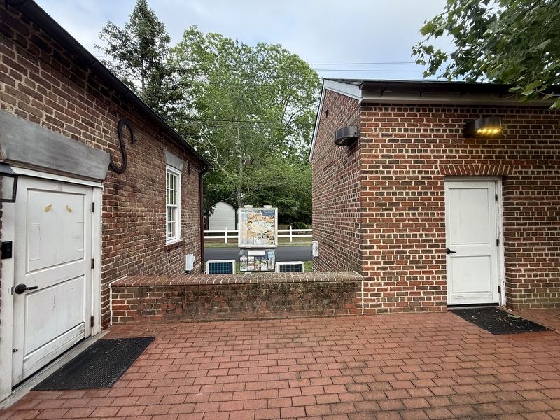
On Colonial Trail East (Virginia Route 10) at Church Street (County Road T-1003), on the right when traveling east on Colonial Trail East.
Welcome to the … Surry Side!
Beginning in 1607, Jamestown settlers affectionately called the opposite shore of the James River the "Surrey Side" to honor their homeland.
The Jamestown colony was perceived as a miniature . . . — — Map (db m301722) HM
On West Oak Street west of North Main Street, on the left when traveling west.
Ralph Epperson founded WPAQ 740 AM, The first radio station in Surry County in 1948.
The station is best known for the preservation of music native to the Mountains of North Carolina and Virginia, highlighting local old-time musicians. WPAQ is . . . — — Map (db m185324) HM
On Cabin Point Road (Virginia Route 613) at Spring Grove Road ( Route 646), on the right when traveling north on Cabin Point Road.
The Quiyoughcohannock Indian village nearby was first visited by English settlers in May, 1607. The first land patent at Claremont was 200 acres granted to George Harrison in 1621. Arthur Allen, who built the house now known as Bacon's Castle, first . . . — — Map (db m35940) HM
On March 24, 1865, Union Gen. George Stoneman led 6,000 cavalrymen from Tennessee into southwestern Virginia and western North Carolina to disrupt the Confederate supply line by destroying sections of the Virginia and Tennessee Railroad, . . . — — Map (db m54615) HM
On South Main Street at Spring Street, on the right when traveling north on South Main Street.
Robert Hicks was born about 1658. By the 1690s he lived at Fort Henry near Petersburg and led traders to the Indians on the southern frontier. About 1709 he moved here to the future site of Hicksford (present-day Emporia) and became captain of the . . . — — Map (db m18952) HM
Near Colonial Parkway, on the right when traveling west.
Evidence from wills, deeds, land plats, patents, and court cases helps to identify structures excavated by archaeologists. When historians digitalized two 17th-century land plats and superimposed them on a modern map of Jamestown, they matched a . . . — — Map (db m17310) HM
On Colonial Trail East (Virginia Route 10) north of Hollybush Road.
Nearby stands the glebe house of the formerly Anglican Southwark Parish that was built soon after 1724. A glebe was a parcel of land owned by a colonial church and farmed to pay the minister’s expenses. This glebe house was used as a parish rectory . . . — — Map (db m2692) HM
On Rockford Road, on the right when traveling south.
(Preface):
On March 24, 1865, Union Gen. George Stoneman led 6,000 cavalrymen from Tennessee into southwestern Virginia and western North Carolina to disrupt the Confederate supply line by destroying sections of the Virginia and Tennessee . . . — — Map (db m54626) HM
On Fairfield Lane 0.4 miles west of Cedar Bush Road, on the right when traveling north.
The north facade of the Fairfield Manor House incorporated features rarely used together on colonial homes. Built at thé end of Jacobean period of architecture and the beginning of the Georgian era, Fairfield employed elements of both periods, . . . — — Map (db m270704) HM
This white oak tree is the offspring of the mighty white oak which stood in Hanover County, Virginia, for
more than 400 years before being destroyed by Hurricane Isabel in 2003
History relates it provided shade for Robert E. Lee and his staff . . . — — Map (db m99846) HM
On Plank Road (Virginia Route 35) 0.5 miles north of Big Woods Road, on the right when traveling south. Reported missing.
Southampton County. Southampton County was formed in 1749 from Isle of Wight County, a part of Nansemond County was added later. The county was either named for the English borough of Southampton or for Henry Wriothesley, third earl of . . . — — Map (db m316091) HM
On Colonial Trail E (Route 10), on the right when traveling north.
Surry County. Surry County, named for the county of Surrey in England, was formed from James City County about 1652. The Quiyoughcohannocks, whose villages were primarily situated in present-day Surry County, were among the first Virginia . . . — — Map (db m2680) HM
On Rolfe Highway (Virginia Route 31) at Riverview Drive ( Route 649), on the right when traveling north on Rolfe Highway.
Near this site on February 26, 1925, the ferry Captain John Smith began the first automobile ferry service crossing the James River. Captain Albert F. Jester was the inaugurator and owner/operator until it was sold to the Commonwealth of . . . — — Map (db m76778) HM
On Colonial Trail East (Route 10) north of Highgate Road, on the left when traveling north.
The Quiyoughcohannocks were one of the first Virginia Indian groups the English encountered in 1607 after landing at Jamerstown. Situated primarily in present-day Surry County, the Quiyoughcohannocks had four villages in the region likely east of . . . — — Map (db m2684) HM
On Winston Road (State Highway 67) north of Fall Creek Church Road, on the right when traveling west.
(Preface):
On March 24, 1865, Union Gen. George Stoneman led 6,000 cavalrymen from Tennessee into southwestern Virginia and western North Carolina to disrupt the Confederate supply line by destroying sections of the Virginia and Tennessee . . . — — Map (db m56801) HM
On Gatewood Road (Virginia Route 656) at Boydton Plank Road (U.S. 1), on the right when traveling south on Gatewood Road.
British Lt. Gen. Charles Cornwallis ordered cavalry commander Lt. Col. Banastre Tarleton to raid Southside Virginia in the summer of 1781. Tarleton left Surry County before turning back. His objective was to destroy stores of ammunition, clothing, . . . — — Map (db m180009) HM
On James Madison Highway (U.S. 15) at County Route 656, on the right when traveling south on James Madison Highway.
The nearby Bremo properties include three separate houses, all built by planter, soldier and reformer Gen. John Hartwell Cocke (1780 - 1866) on his family's 1725 land grant. The three properties - Bremo, Lower Bremo, and Recess - and their . . . — — Map (db m28070) HM
Near Courtland Farm Road (Virginia Route 820) 0.2 miles east of Hanover Courthouse Road (U.S. 301), on the right when traveling east.
(side 1)
The Colonial River Road
After centuries of use by native people and the colonists of New Kent County, the road along the Pamunkey River was extended past the tobacco ports of Newcastle and Page’s Warehouse (later . . . — — Map (db m53801) HM
On Farmville Road (U.S. 15) at Worsham Road (County Route 665), on the right when traveling north on Farmville Road.
In 1781, British Gen. Charles Cornwallis ordered cavalry commander Lt. Col. Banastre Tarleton to raid Southside Virginia to seize or destroy private and public supplies of ammunition, clothing, and food. On 9 July, Tarleton left Cobham in Surry . . . — — Map (db m166813) HM
On Main Street at Southampton Parkway ( Route 58), on the right when traveling west on Main Street.
Nottoway History
From Barter … to Buffer … to Be …
Ancient Native American trade routes were in existence long before first contact with Europeans. Nottoway trade expeditions provided a chance to . . . — — Map (db m238385) HM
On Spring Grove Road (Virginia Route 646) 0.1 miles south of Cabin Point Road ( Route 613), on the left when traveling south.
Surry County African-American Heritage Society
Claremont School
In November of 1913 a deed was sold to the School Board District Number Four for property on the eastside of Spring Grove Road, Claremont, Virginia. A school was built on . . . — — Map (db m35943) HM
On Colonial Trail West (Virginia Route 10) at Martin Luther King Highway ( Route 40), on the right when traveling west on Colonial Trail West.
Located five miles to the north is Wakefield. Benjamin Harrison patented this land about 1637. His descendents became major landowners and were influential in Virginia and United States politics. Governor Benjamin Harrison was a signer of the . . . — — Map (db m2691) HM
On Alliance Road at Colonial Trail East ( Route 10), on the right when traveling north on Alliance Road.
Originally called Tappahannock Creek by the English, Crouch’s Creek flowed through a number of early English settlements. By 1625 George Sandys had holdings in Surry County, known as Treasurer’s Plantation, east of the creek. Sandys was a poet, a . . . — — Map (db m2687) HM
On Rolfe Road (Virginia Route 10) south of Main Street ( Route 10), on the left when traveling west.
Captain John Smith began Smith’s Fort in 1609, two years after the first permanent English colony in the New World was established at Jamestown. The remains of the fort, a two-foot-high earthwork, constitute the oldest extant structure of English . . . — — Map (db m2688) HM
Near Jones School Road (State Road 1064) west of Apostle Drive, on the left when traveling west.
The L.H. Jones
Auditorium
Has been placed on the
National Register
of Historic Places
by the United States
Department of the Interior
Built in 1947-1948 largely by
students under the instruction of
trowel trades . . . — — Map (db m264081) HM
On North Courthouse Road (Virginia Route 155) at Poindexter Road (County Route 604), on the left when traveling north on North Courthouse Road.
George Poindexter (Poingdestre), a member of
prominent family on the Isle of Jersey in the
English Channel, arrived in Virginia by the 1650s
and settled at Middle Plantation, now Williamsburg.
He acquired land in at least three . . . — — Map (db m107387) HM
Near Campbell Road 0.1 miles north of Warwick Boulevard (U.S. 60), on the right when traveling north.
Two African American Civil War veterans, Pvt. Edward Diggs and Sgt. Anthony W. Poole, are buried here. Each enlisted in Co. G, 36th U.S. Colored Troops, in Yorktown. Blacks sought to enlist earlier in the war but were banned until after the . . . — — Map (db m66890) HM
On Greenlee Ford Road 0.3 miles north of Carbon City Road (U.S. 70), on the right when traveling north.
During the America n Revolution, at this ford of the Catawba River, around 1390 men from Western North Carolina and Southwestern Virginia crossed here on their way to the Battle Of Kings Mountain. The men who crossed the river here were all . . . — — Map (db m285957) HM WM
Near Letcher Lane (Virginia Route 749) at Ararat Highway ( Route 773), on the left when traveling west.
After the Stuart family sold the Laurel Hill farm in 1859 to Robert R. Galloway and Dr. Joseph Hollingsworth, except for the possibility for a few tenant farmers, the land sat mostly idle for the next twenty years. In 1879, Samuel Hill Taylor, . . . — — Map (db m162902) HM
Thin black lines indicate changes in relevance. Between each pair of lines entries are ordered geographically but all have the same relevance.
* Inflectional forms of words are their plurals, singulars, and possessives as well as gramatical tenses and similar variations.