By Duane and Tracy Marsteller, June 17, 2023
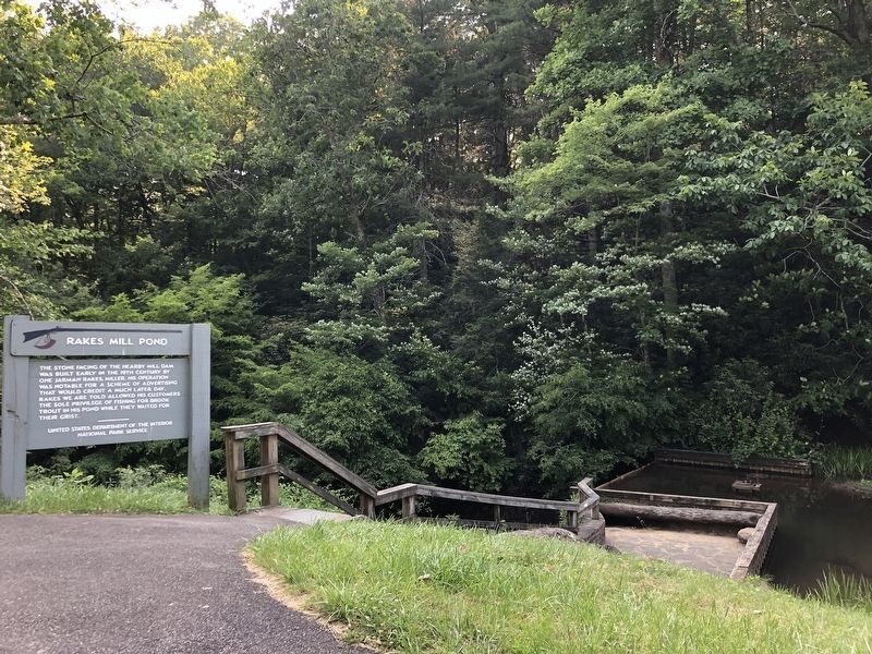
Rakes Mill Pond Marker
RANKED BY RELEVANCE
| On Blue Ridge Parkway (at milepost 162.4), 0.2 miles south of Buffalo Lane Southeast (Virginia Route 714), on the right when traveling south. |
| On East Main Street (U.S. 221) at North Locust Street (Virginia Route 8), on the left when traveling east on East Main Street. |
| On North Locust Street (Virginia Route 8) south of Penn Avenue NW, on the right when traveling north. |
| Near Old Hollow Lane west of Jubal Early Highway ( Route 116), on the right when traveling west. |
| On East Main Street (Ohio River Scenic Byway) (Indiana Route 111) just west of East 9th Street, on the right when traveling west. |
| On Ekin Avenue east of Thomas Street, on the left when traveling east. |
| On East Main Street (U.S. 221) at North Locust Street (Virginia Route 8), on the left when traveling east on East Main Street. |
| On Riner Road (County Route 8) just south of Homestead Road. |
| On Huffman Avenue east of Main Street, on the right when traveling east. |
| On Main Street (U.S. 211) at Locust Street (Virginia Route 8), on the right when traveling west on Main Street. |
| On North Main Street north of Rye Cove Road, on the right when traveling south. |
| On Danville Parkway (U.S. 58), on the right when traveling east. |
| On South Kanawha Street (West Virginia Route 210) at Howe Street, on the left when traveling north on South Kanawha Street. |
| On 15th Street at Front Street, on the left when traveling north on 15th Street. |
| Near Kentucky Route 114 0.1 miles east of Route 404, on the right when traveling east. |
| On Floyd Pike (Route 221) just east of Borderline Road, on the left when traveling west. |
| On Jeb Stuart Highway (U.S. 58) at Widow Drive (County Route 747), on the right when traveling west on Jeb Stuart Highway. |
| On U.S. 221 0.1 miles south of County Line Road Northeast, on the right when traveling south. |
| On KY-1428 0.6 miles east of KY-302, on the right when traveling east. |
| On Interstate 77, on the right when traveling north. |
| Near West Main Street west of South Locust Street, on the left when traveling west. |
| On U.S. 221 0.1 miles east of Borderline Road, on the right when traveling east. |
| Near Ararat Highway (Virginia Route 773). |
| On Bob Amos Drive at Cedar Creek Road (Kentucky Route 1384), on the left when traveling south on Bob Amos Drive. |
| Near South Locust Street. |
| On Memorial Avenue (Virginia Route 163) at Orchard Street, on the left when traveling west on Memorial Avenue. |
| On Memorial Avenue (Virginia Route 163) at Munford Street, on the left when traveling west on Memorial Avenue. |
Thin black lines indicate changes in relevance. Between each pair of lines entries are ordered geographically but all have the same relevance.* Inflectional forms of words are their plurals, singulars, and possessives as well as gramatical tenses and similar variations.
Nov. 12, 2026
