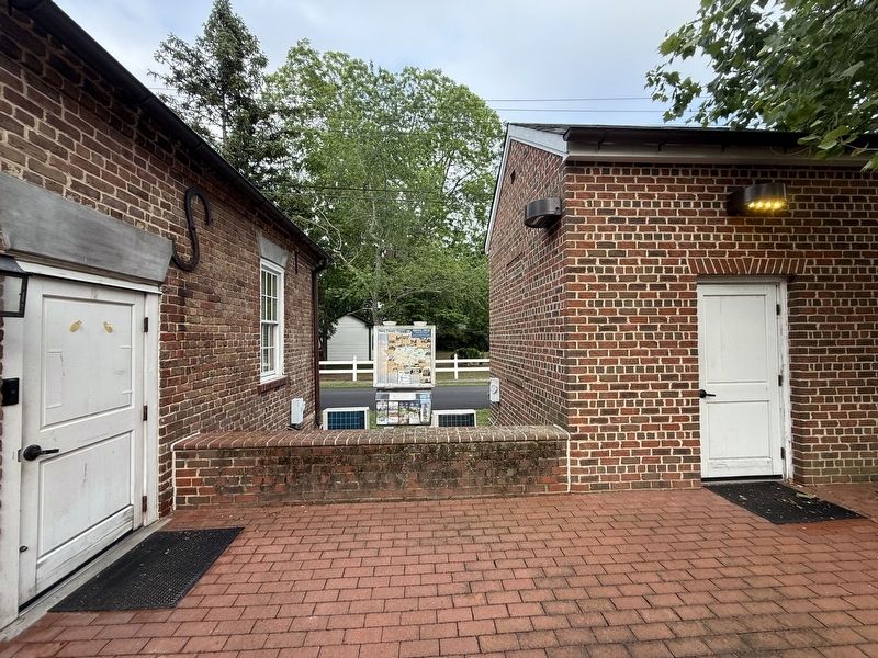
By Devry Becker Jones (CC0), May 24, 2026
Surry County Virginia Marker
RANKED BY RELEVANCE
| On Colonial Trail East (Virginia Route 10) at Church Street (County Road T-1003), on the right when traveling east on Colonial Trail East. |
| On West Oak Street west of North Main Street, on the left when traveling west. |
| On Cabin Point Road (Virginia Route 613) at Spring Grove Road ( Route 646), on the right when traveling north on Cabin Point Road. |
| On Hardy Road, on the right when traveling east. |
| On South Main Street at Spring Street, on the right when traveling north on South Main Street. |
| Near Colonial Parkway, on the right when traveling west. |
| On Colonial Trail East (Virginia Route 10) north of Hollybush Road. |
| On Rockford Road, on the right when traveling south. |
| On Fairfield Lane 0.4 miles west of Cedar Bush Road, on the right when traveling north. |
| On Plank Road (Virginia Route 35) 0.5 miles north of Big Woods Road, on the right when traveling south. Reported missing. |
| On Colonial Trail E (Route 10), on the right when traveling north. |
| On Rolfe Highway (Virginia Route 31) at Riverview Drive ( Route 649), on the right when traveling north on Rolfe Highway. |
| On Colonial Trail East (Route 10) north of Highgate Road, on the left when traveling north. |
| On Winston Road (State Highway 67) north of Fall Creek Church Road, on the right when traveling west. |
| On Gatewood Road (Virginia Route 656) at Boydton Plank Road (U.S. 1), on the right when traveling south on Gatewood Road. |
| On James Madison Highway (U.S. 15) at County Route 656, on the right when traveling south on James Madison Highway. |
| Near Courtland Farm Road (Virginia Route 820) 0.2 miles east of Hanover Courthouse Road (U.S. 301), on the right when traveling east. |
| On Farmville Road (U.S. 15) at Worsham Road (County Route 665), on the right when traveling north on Farmville Road. |
| On Main Street at Southampton Parkway ( Route 58), on the right when traveling west on Main Street. |
| On Spring Grove Road (Virginia Route 646) 0.1 miles south of Cabin Point Road ( Route 613), on the left when traveling south. |
| On Colonial Trail West (Virginia Route 10) at Martin Luther King Highway ( Route 40), on the right when traveling west on Colonial Trail West. |
| On Alliance Road at Colonial Trail East ( Route 10), on the right when traveling north on Alliance Road. |
| On Rolfe Road (Virginia Route 10) south of Main Street ( Route 10), on the left when traveling west. |
| Near Jones School Road (State Road 1064) west of Apostle Drive, on the left when traveling west. |
| On North Courthouse Road (Virginia Route 155) at Poindexter Road (County Route 604), on the left when traveling north on North Courthouse Road. |
| On North Green Street (State Road 181) at Bost Road, on the right when traveling west on North Green Street. |
| Near Campbell Road 0.1 miles north of Warwick Boulevard (U.S. 60), on the right when traveling north. |
| On Greenlee Ford Road 0.3 miles north of Carbon City Road (U.S. 70), on the right when traveling north. |
| Near Letcher Lane (Virginia Route 749) at Ararat Highway ( Route 773), on the left when traveling west. |
Thin black lines indicate changes in relevance. Between each pair of lines entries are ordered geographically but all have the same relevance.* Inflectional forms of words are their plurals, singulars, and possessives as well as gramatical tenses and similar variations.
Nov. 12, 2026
