By Mike Wintermantel, June 30, 2012
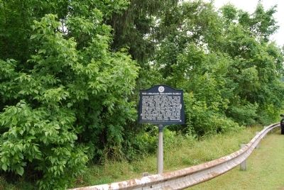
The Abraham Tegarden Family Marker
RANKED BY RELEVANCE
On 10 Mile Street at County Park Road, on the right when traveling east on 10 Mile Street.
Near Main Street north of Rices Landing Road (County Route 1010), on the left when traveling north.
On Seminole Trail (U.S. 29) north of Frays Mill Road / Burnley Station Road, in the median. Reported missing.
On Tennessee Route 160, on the right when traveling north.
On East Main Street (State Highway 123) at South William Hooker Drive, on the right when traveling east on East Main Street. Reported permanently removed.
On 8th Avenue North (U.S. 41), in the median.
On Court Street at Ford Avenue, on the right when traveling east on Court Street.
Near Memorial Drive west of North East Street, on the left when traveling west.
On Spotswood Trail (U.S. 33), on the right when traveling east.
Near Main Street north of Rices Landing Road (County Route 1010), on the left when traveling north.
On Seminole Trail (U.S. 29) north of Fredericksburg Road (County Route 609), on the right when traveling north.
On Buckeye Road (County Route 29) north of Mason-Dixon Highway (West Virginia Route 7), on the left when traveling north. Reported missing.
On State Highway 5 1 mile south of State Route 25, on the right when traveling south.
Near John B Gordon Drive 0.1 miles east of Jefferson Davis Drive, on the right when traveling east.
Paid Advertisement
On Jimmy Ramey Lane 1 mile west of U.S. 45, on the right when traveling west.
On Union Road at Washington Road, on the right when traveling south on Union Road.
On Interstate 81 2 miles north of Van Hill Road ( Route 172), on the right when traveling north.
Near Davy Crockett Park Road.
On Grand Cavern Road west of South River Road, on the left when traveling west.
On Hero Road, on the left when traveling east.
On North Campbell Station Road at Kingston Pike, on the left when traveling north on North Campbell Station Road.
On Blue and Gold Drive, on the right when traveling east.
On Erwin Street at Tuscaloosa Street, on the left when traveling west on Erwin Street.
Near Memorial Drive west of North East Street, on the left when traveling west.
On Church Street at North Patton Street, on the left when traveling east on Church Street.
Near Main Street west of Rices Landing Road (County Route 1010), on the left when traveling north.
Near Main Street north of Rices Landing Road (County Route 1010), on the left when traveling north.
On Buckeye Road (County Route 39) east of Mason Dixon Highway (West Virginia Route 7), on the left when traveling east.
On North Carolina Highway 58 (State Highway 58) at Fort Run Road (State Highway 1058), on the right when traveling south on North Carolina Highway 58.
︽
Thin black lines indicate changes in relevance. Between each pair of lines entries are ordered geographically but all have the same relevance. * Inflectional forms of words are their plurals, singulars, and possessives as well as gramatical tenses and similar variations.
Nov. 13, 2026